North Shore Link Transmission Line
Project Overview
Location: Sault Ste. Marie to Wharncliffe, ON
Client: Hydro One
Services: Engineering, Geotechnical & Dam Engineering, Geomatics, Professional Land Surveying, Geomatics Engineering, Geospatial & LiDAR, GIS
Sector: Energy
Project Description
The North Shore Link Transmission Line is a 106 km double-circuit 230 kV transmission project extending from Sault Ste. Marie to Wharncliffe, Ontario. The corridor includes approximately 85 privately owned parcels, 45 km of Crown Land, and roughly 25 km of inaccessible terrain, creating complex requirements for access, land ownership, field investigations, and corridor-wide data management.
TULLOCH is supporting the project through coordinated surveying, geospatial, land ownership, and geotechnical assignments. The work combines extensive field programs with digital tools that help the project team manage property information, consultation records, technical data, and design requirements across a long and challenging transmission corridor.
Scope of Services
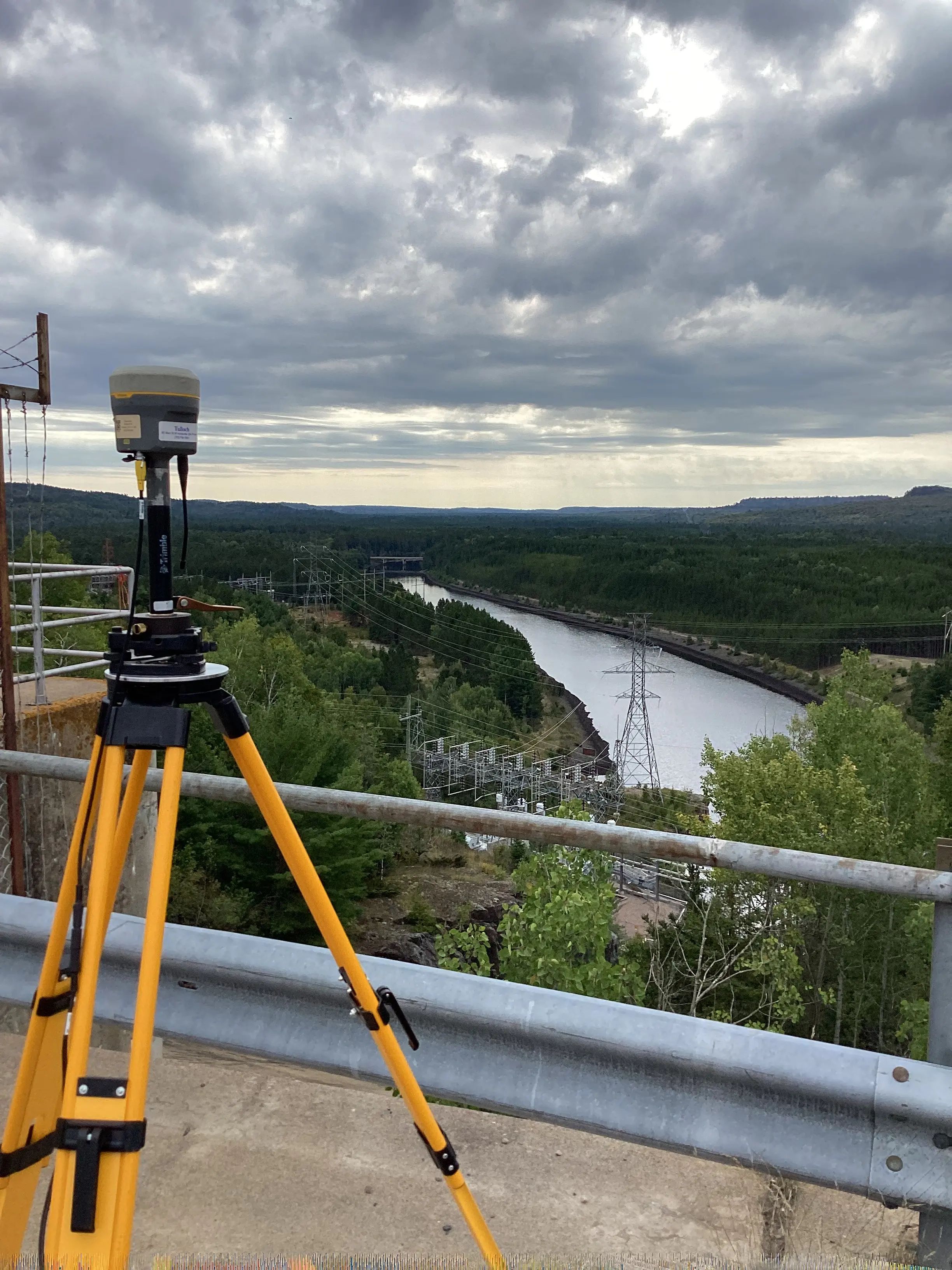
- Survey control network development and quality-control measurements
- Property research, title review, legal plan review, property mapping, and crossing plans
- Legal surveys, boundary retracement, reference plans, and expropriation support
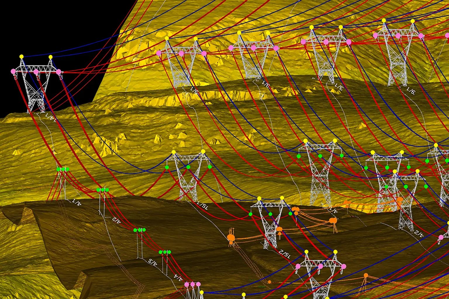
- Airborne LiDAR collection, calibration, QA/QC, ground classification, and feature vectorization
- PLS-CADD deliverables
- Geotechnical reconnaissance, access review, and borehole location planning
- Geotechnical investigations and electrical resistivity testing
- Soil and rock classification and foundation recommendations
- GIS needs assessment and custom land ownership application development
- GIS dashboards and web mapping tools for agreement tracking, consultation records, and project data management