GIS and Mapping Services
Location Intelligence for Project Clarity
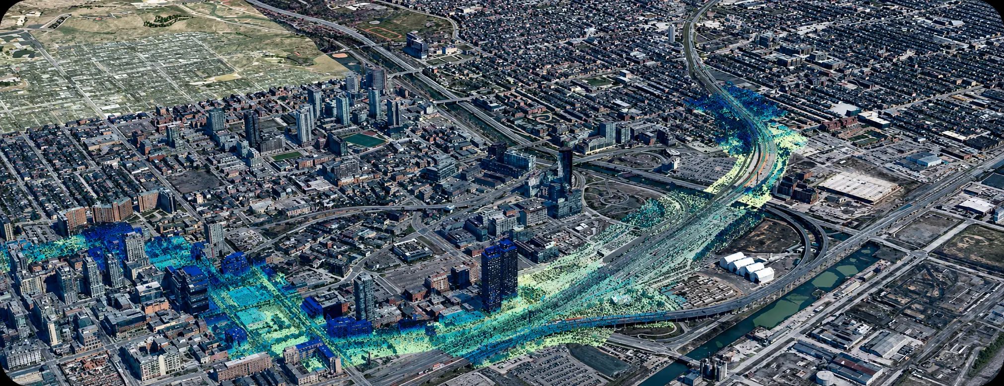
GIS connects maps, records, software, and workflows so teams can understand current conditions, where they occur, and why they matter. TULLOCH builds maps, dashboards, databases, and analysis tools that strengthen visualization and communication across planning, design, construction, operations, and asset management.
Why Work With TULLOCH?
Better Visibility Across Every Project Stage

Spatial Understanding
Spatial analysis reveals patterns, risks, constraints, and relationships that are difficult to see clearly in static files or spreadsheets alone.

Shared Context
Web maps, dashboards, and shared databases keep stakeholders aligned on current status, priorities, records, and next steps.

Connected Workflows
Field apps, automation, and connected systems reduce manual effort, strengthen coordination, and improve information flow between project teams.
What We Offer
Service Areas
- Geospatial database design and implementation
- Data cleaning, formatting, and standardization
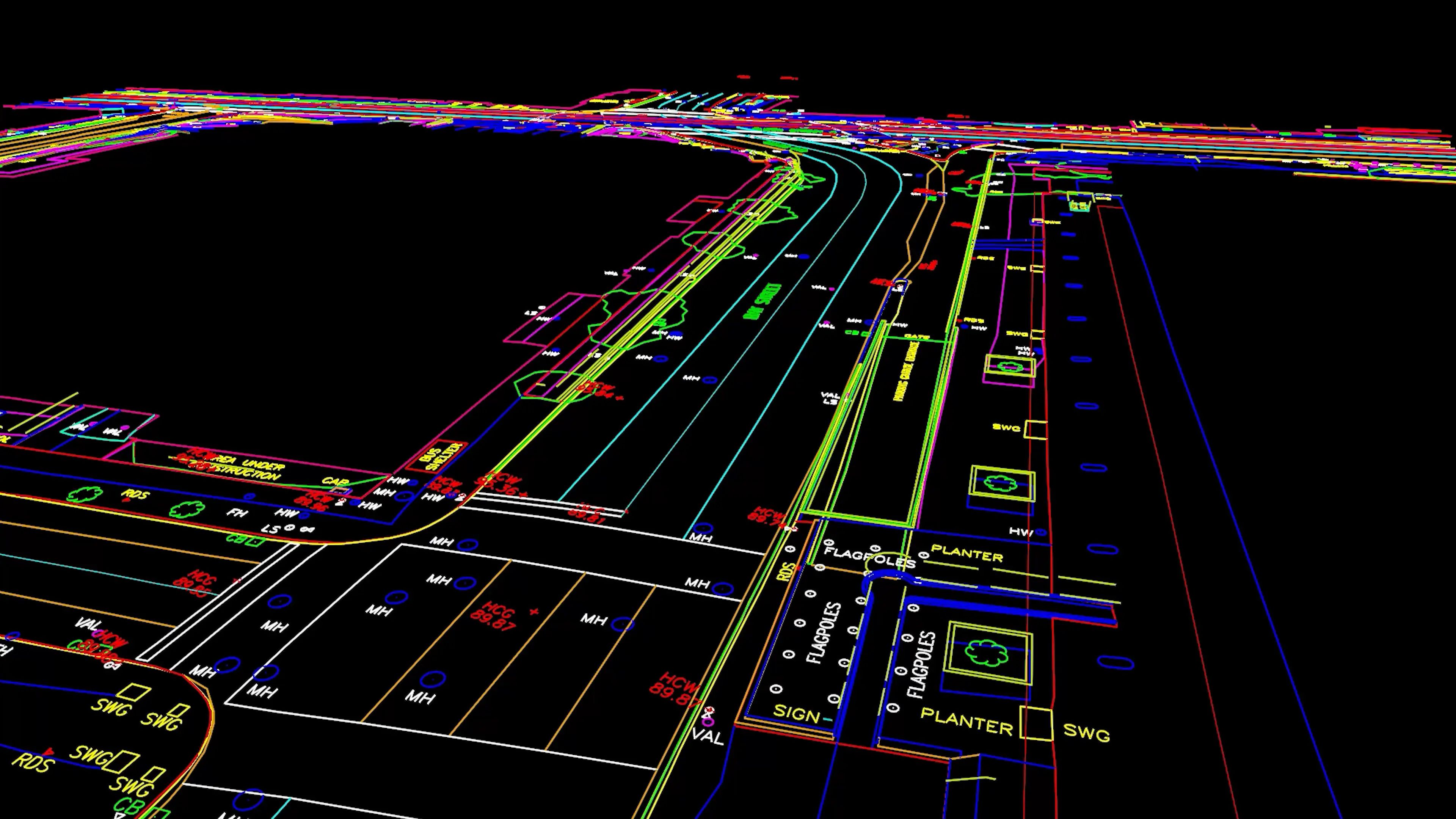
- Integration of CAD, LiDAR, survey, imagery, and asset data
- Attribute schema development and data structure planning
- Quality control for geospatial datasets
- GIS-ready datasets for planning, design, construction, and operations
- CAD-to-GIS and GIS-to-CAD data conversion
- Coordinate system transformation and spatial alignment
- Legacy data conversion into modern GIS formats
- Data conversion, transformation, and workflow automation
- Repeatable processing workflows using ArcGIS, Python, and FME
- Spatial data preparation for web maps, dashboards, and analysis
- Interactive web maps, project dashboards, and secure client portals
- Field map application development
- Mobile data collection tools for field and office teams
- Construction, environmental, and asset tracking applications
- Story maps and public-facing map tools
- Field-to-office data review and synchronization
- Spatial analysis and geoprocessing
- Site suitability and constraints analysis
- Network, routing, and proximity analysis
- 3D terrain and surface modelling
- Floodplain mapping and flood extent visualization
- Raster analysis and interpretation
- Environmental, infrastructure, and land-use mapping analysis
- Asset inventories and infrastructure mapping
- Utility, corridor, and facility data integration
- Drawing, record, and spatial data linking
- ArcGIS Online and ArcGIS Enterprise configuration support
- Data governance, maintenance, and update workflows
- Staff training and long-term GIS user support
Process and Methodologies
From Spatial Data to Connected GIS Tools
Discovery and Scoping
Confirm goals, users, data sources, performance needs, integrations, outputs, and long-term maintenance requirements.
Compile and Integrate Data
Bring together CAD, LiDAR, survey, imagery, field records, and existing database inputs into one connected project dataset.
Data Processing
Standardize formats, validate accuracy, fill gaps, create attributes, and prepare datasets for analysis.
Analyze and Model
Apply spatial tools for constraints, routing, risk, suitability, environmental modelling, and network analysis.
Build Maps and Dashboards
Create web maps, dashboards, field apps, and visuals that communicate status and priorities clearly.
Launch and Maintain
Train users, support adoption, refresh data, and refine tools as project and operational needs change.
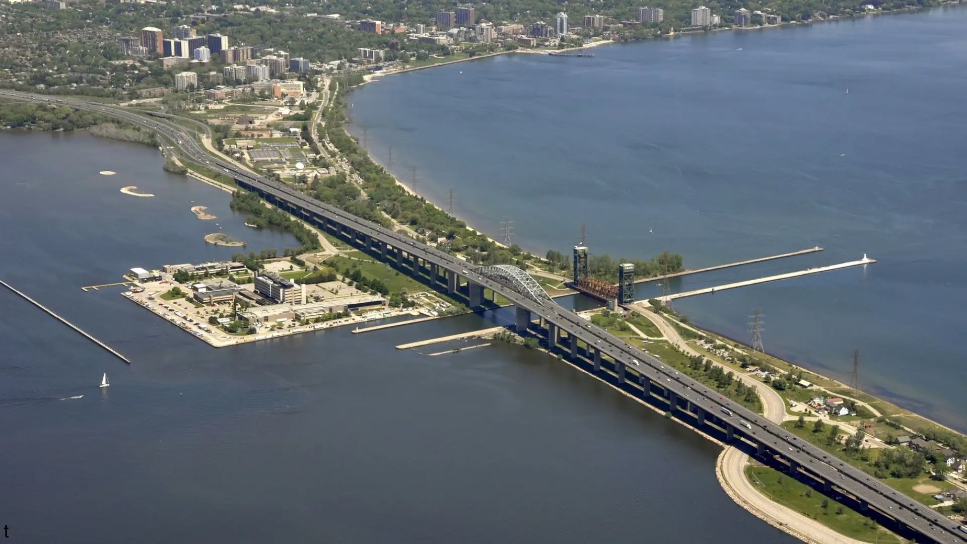
"Everyone appreciates the excellent work TULLOCH’s GIS team has completed over the past several months on the QEW Garden City Skyway Bridge GIS Dashboard project. The dashboard was delivered as promised, and we cannot thank the team enough for their efforts and professionalism."
Project Manager
Morrison Hershfield (now Stantec)
Solutions in Action
Relevant Experience
Featured Projects
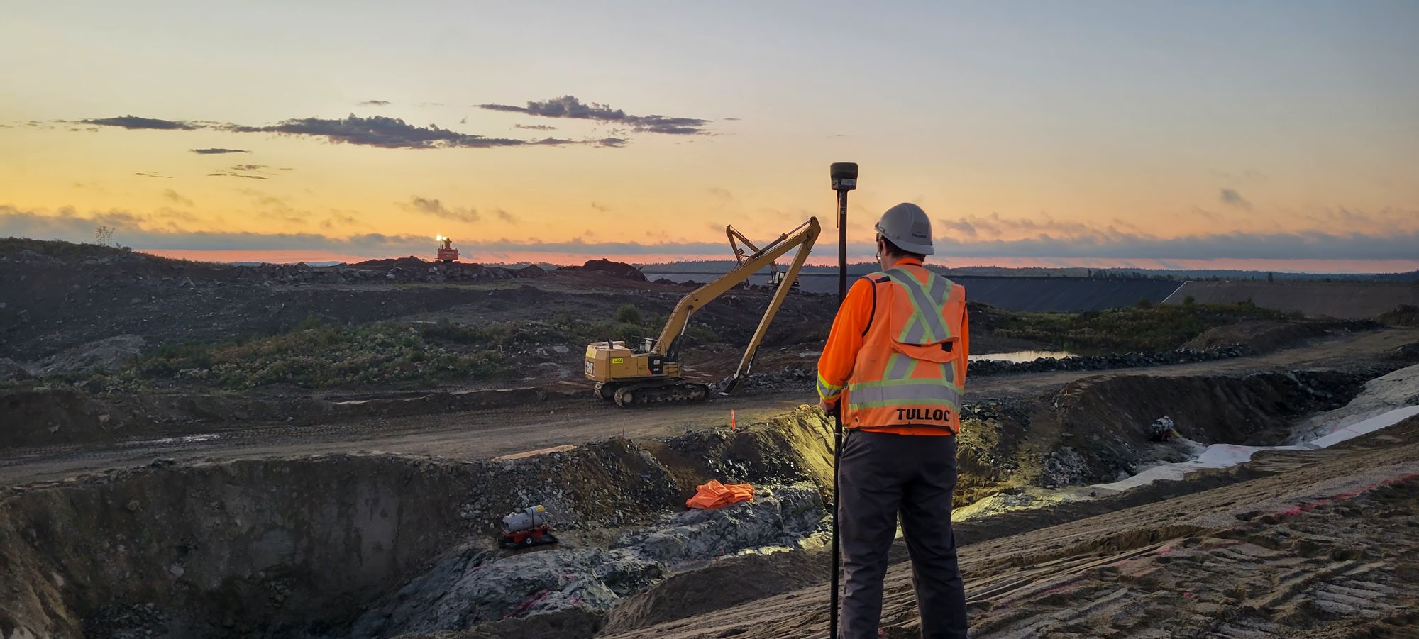
Island Gold District
Since 2019, TULLOCH has supported the Island Gold District with multidisciplinary services across the Island Gold and Magino Mines through various development stages.

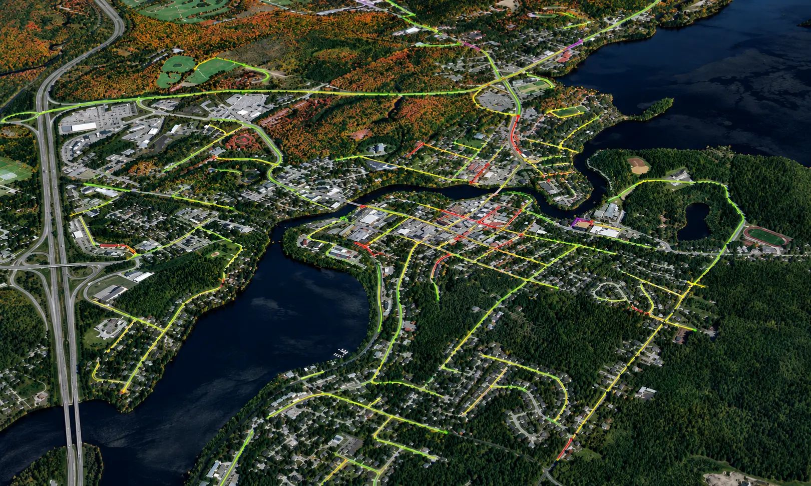
Turn Spatial Data Into Visual Tools
Build maps, dashboards, applications, and spatial workflows with GIS and mapping support available throughout Canada and the United States.
Get Answers
GIS and Mapping FAQs
Helpful starting information includes your project location, available CAD files, survey data, LiDAR, imagery, existing databases, reporting needs, and intended users. If your data is incomplete or inconsistent, TULLOCH can help identify gaps and define a practical starting point.
Yes. GIS can bring together survey, CAD, LiDAR, environmental, asset, field, and record data into one organized spatial system. This helps teams work from a single source of truth.
GIS helps turn complex location data into maps, dashboards, and visuals that are easier for owners, consultants, regulators, and field teams to understand. This can reduce confusion, improve coordination, and keep decisions tied to current information.
GIS deliverables can be provided in agreed-upon formats for project use, reporting, or future updates. Delivery requirements, access, hosting, and ownership should be confirmed during scoping.
TULLOCH applies checks for accuracy, coordinate systems, formatting, source data, and attribute consistency. This helps keep GIS deliverables usable, traceable, and aligned with project requirements.