Ontario Line Subway
Project Overview
Location: Toronto, ON
Clients: HDR and E.S. Fox
Services: Geomatics, Land Surveying, Geomatics Engineering, Geospatial & LiDAR, and GIS & Mapping
Sector: Transportation
Completed: Ongoing
Project Description
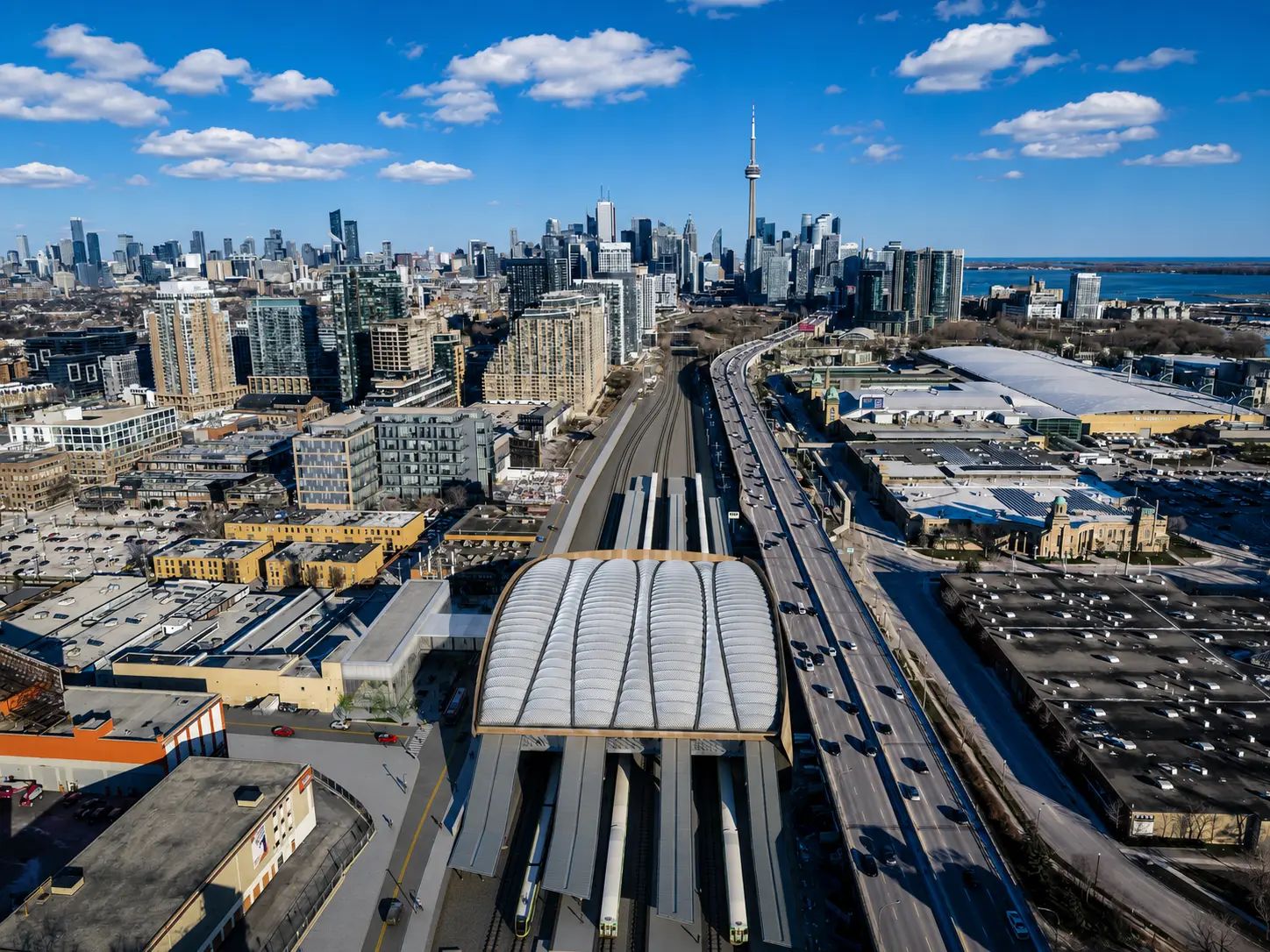
The Ontario Line is a 15.6 km rapid transit project that will add 15 stations through Toronto and connect with existing TTC subway, streetcar, bus, and GO Transit networks. TULLOCH has supported the program through two distinct assignments spanning preliminary design, corridor mapping, property information, GIS, and construction-stage survey control.
For HDR, TULLOCH provided corridor-wide survey, LiDAR, mapping, and GIS solutions to improve visibility into existing conditions and develop reliable information for preliminary and detailed design. Our work included surface and subsurface control, high-density spatial data collection, legal and property information, base mapping, and digital dashboards used across the project.
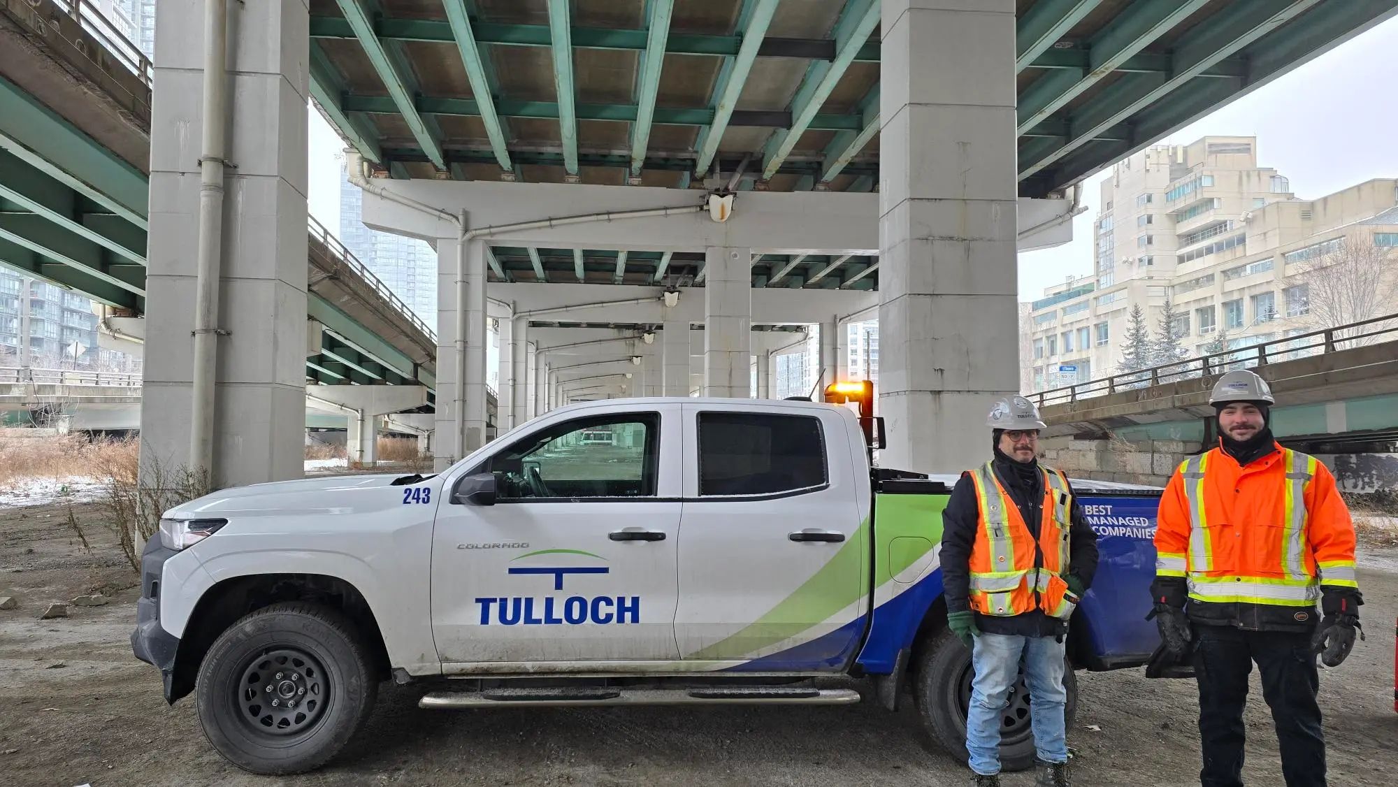
TULLOCH also supported E.S. Fox on the Lower Don Bridge, a 120 m steel tied-arch structure spanning the Don River and Don Valley Parkway without intermediate piers. Because major bridge components were fabricated off site and assembled in stages, TULLOCH established high-precision local survey control and completed regular positional validation to help manage bridge geometry during reassembly and staged installation.
Scope of Services
- First-order geodetic control surveys establishing precise surface and subsurface control networks
- Mobile and airborne LiDAR data collection across the Ontario Line corridor
- Topographic mapping supporting transit design and corridor planning
- Static laser scanning to capture underground infrastructure and constrained environments
- Collection and integration of existing topographic, LiDAR, property, and orthoimagery datasets
- Base mapping, terrain surfaces, and design datasets supporting preliminary and detailed design
- Legal surveying and property data management
- On-track surveys within existing rail corridors
- GIS web maps and dashboards supporting project coordination, visualization, and status tracking
- Enhanced property fabric incorporating more than 500 high-accuracy legal survey drawings with provincial parcel information
- Property information integrated across 35 project dashboards
- Survey and geotechnical instrumentation dashboards used by Metrolinx and construction teams
- Settlement and deformation monitoring during construction
- High-precision local survey control for Lower Don Bridge assembly and installation
- Regular positional and geometry checks during bridge reassembly and staged installation