Geomatics Engineering Services
Engineering Surveys That Keep Projects Moving
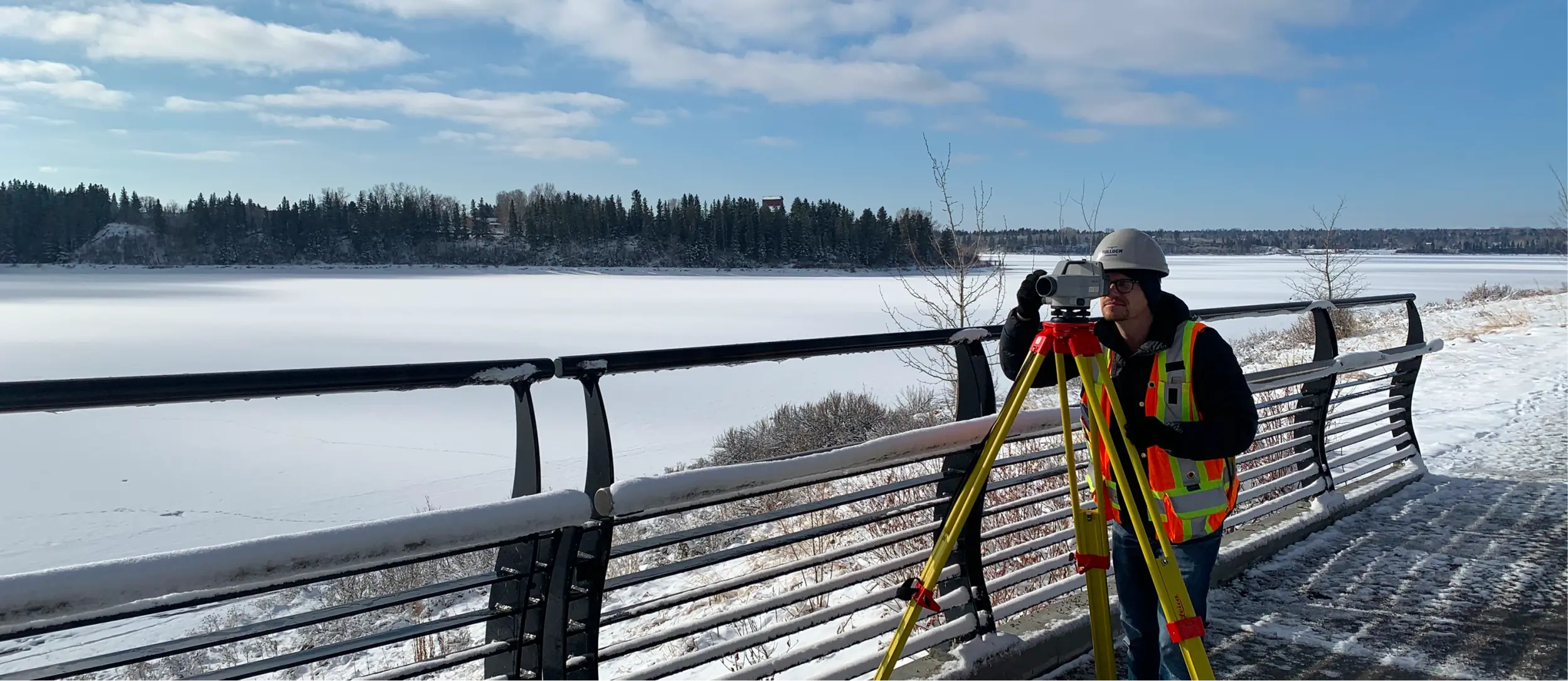
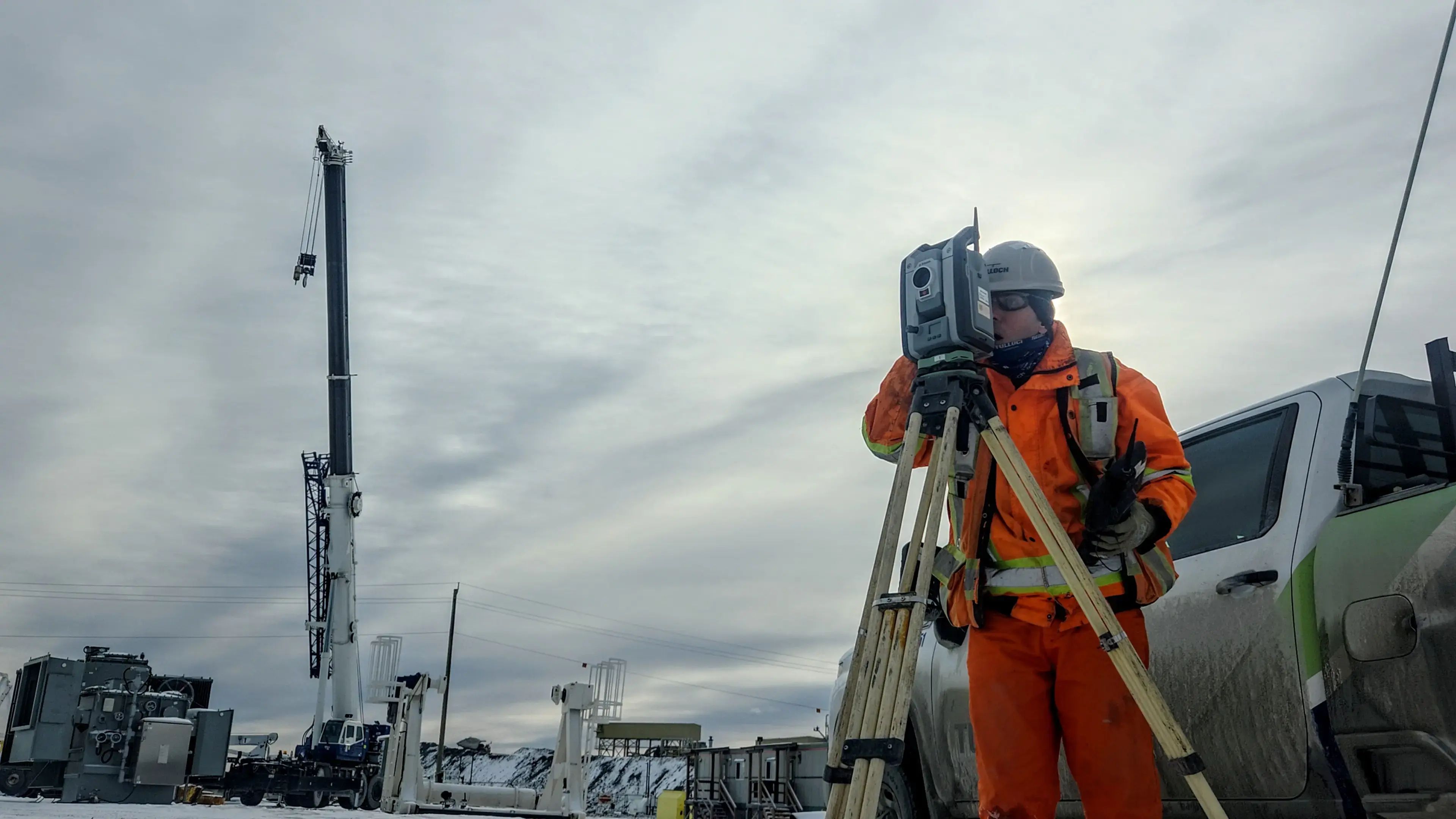
TULLOCH provides geomatics engineering services that guide design, construction, verification, and monitoring. From infrastructure and facilities to corridors and active construction sites, we help establish the measurements and records that owners, designers, and contractors need throughout each stage of their project.
Why Work With TULLOCH?
Accuracy You Can Build Around

Precise Control
Repeatable control networks keep crews, consultants, and contractors aligned across phases, elevations, and changing site conditions.

Field Coordination
Reliable on-site survey coordination keeps layout, staging, phasing, quantities, and progress checks aligned as construction advances.

Verified Tolerances
Precision surveys and independent QA/QC checks identify potential misalignment early and document conformance with design requirements.
What We Offer
Service Areas
- Engineering surveys for design, construction, and verification
- Geodetic and construction control network design
- Primary and secondary survey control establishment
- Coordinate system, datum, and transformation guidance
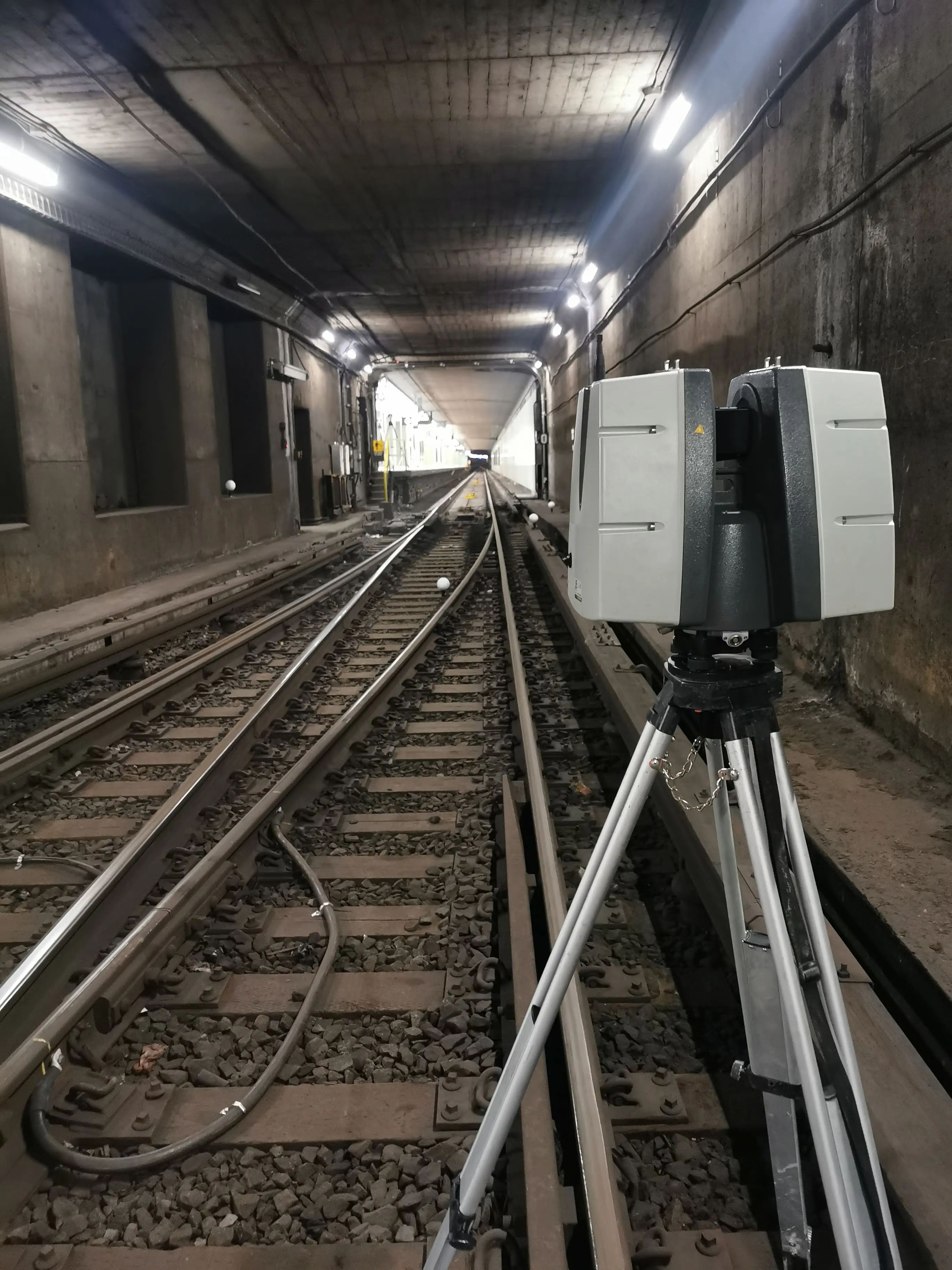
- Tunnel and underground alignment networks
- Shaft sinking control
- Site calibration and independent control verification
- Survey strategy and technical advisory
- High-precision line and grade layout
- Staking for alignments, grades, profiles, and contours
- Line and grade transfer to elevated floors and shafts
- Verification surveys for staged installation and fit-up conditions
- QA/QC survey checks and construction verification documentation
- As-built and progress surveys tied to field decisions
- Earthworks surveys for cut, fill, and grading
- Volumetric and quantity calculations
- Volume change detection surveys
- Surface model validation and machine control support
- Machine, conveyor, and equipment alignment
- Structural steel and concrete layout
- Anchor bolt, embed, and sleeve layout for complex structural work
- Foundation and structural element verification for tolerance-critical work
- Tolerance verification and deviation reporting
- Settlement, deformation, and deflection monitoring
- Building movement monitoring adjacent to tunnelling and major excavation
- Real-time monitoring systems and automated alerts
- Crack and vertical settlement monitoring
- Survey verification to document movement and change
- Bridge, tunnel, and rail surveys
- Corridor mapping for transportation and utility infrastructure
- Base plans, profiles, cross-sections, and digital terrain models
- Buried utility surveys, utility as-builts, and infrastructure mapping
- Hydrographic and bathymetric surveys
- Shoreline, river, and water-crossing surveys
Process and Methodologies
From Survey Control to Field Verification
Define Requirements
Confirm tolerances, design intent, safety needs, site constraints, deliverables, and coordination protocols.
Establish Control
Design, install, verify, and maintain control networks that serve as the project’s reference backbone.
Capture Site Data
Deploy total stations, GNSS, LiDAR, UAV, and other methods matched to accuracy and access needs.
Layout and Verify
Complete layout, alignment, quantities, monitoring, and staged verification against design and construction requirements.
QA/QC and Analysis
Apply independent checks, adjustments, calculations, and reporting to support defensible results.
Issue Deliverables
Provide drawings, models, reports, and records ready for field teams, consultants, and owners.
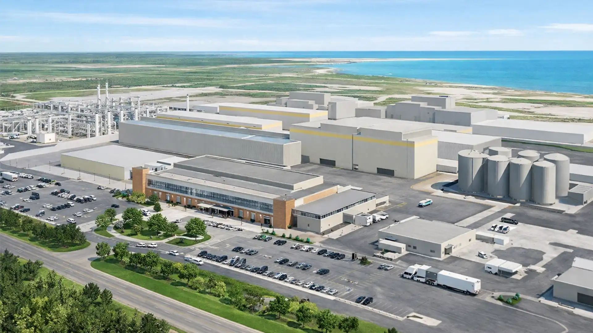
"We appreciate the team at TULLOCH for the detail and expertise they brought to our EV materials facility construction project, including validation, collaboration with our contractors, and clear reporting."
Senior Construction Manager
Worley
Solutions in Action
Relevant Experience
Featured Projects
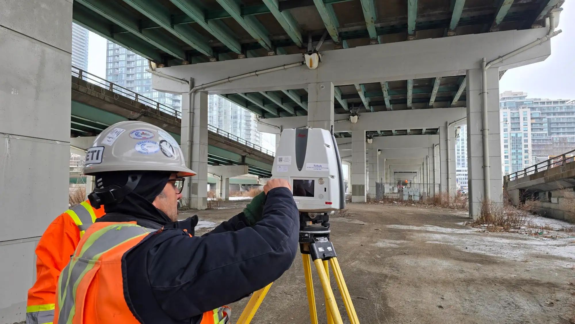
Gardiner Expressway Rehabilitation
As Engineering Survey Lead, TULLOCH combined LiDAR, control, bathymetry, ground, and legal surveys to support multiple phases of Toronto's Gardiner Expressway rehabilitation.
Additional Resources
Construction Survey Services Statement of Qualifications
Discuss Your Geomatics Engineering Needs
Access engineering and construction surveying capabilities for projects across Canada and in select U.S. markets.
Get Answers
Geomatics Engineering FAQs
Geomatics engineering is useful when a project requires precise control, complex layout, monitoring, tolerance verification, or construction data tied to design intent. It is especially valuable on active sites, large corridors, industrial facilities, and projects with tight construction tolerances.
Helpful information includes design drawings, survey control, coordinate system requirements, site access details, tolerance requirements, construction schedule, and known site constraints. If information is missing, TULLOCH can help identify what is needed before fieldwork begins.
Reliable control gives project teams one consistent reference for layout, verification, monitoring, and as-built records. This helps reduce misalignment, rework, and conflicting field information as the project moves through construction.
Yes. TULLOCH can support layout, verification, progress surveys, quantities, monitoring, and field checks while construction is underway. This helps owners, contractors, and consultants make decisions using current site information.
Common causes include inconsistent control, drawing changes, coordinate system conflicts, field obstructions, settlement, installation tolerances, and incomplete as-built information. Geomatics engineering helps identify and document these issues before they create larger construction problems.