Transportation Services
Experience Across Complex Transportation Initiatives
Transportation projects must balance safety, access, mobility, property impacts, field conditions, stakeholder needs, and construction requirements. TULLOCH helps owners, design firms, contractors, rail operators, and transportation agencies make informed decisions from early design through construction so major corridor work keeps moving.
Why Work With TULLOCH?
Connecting Corridors With Confidence

Technology Leadership
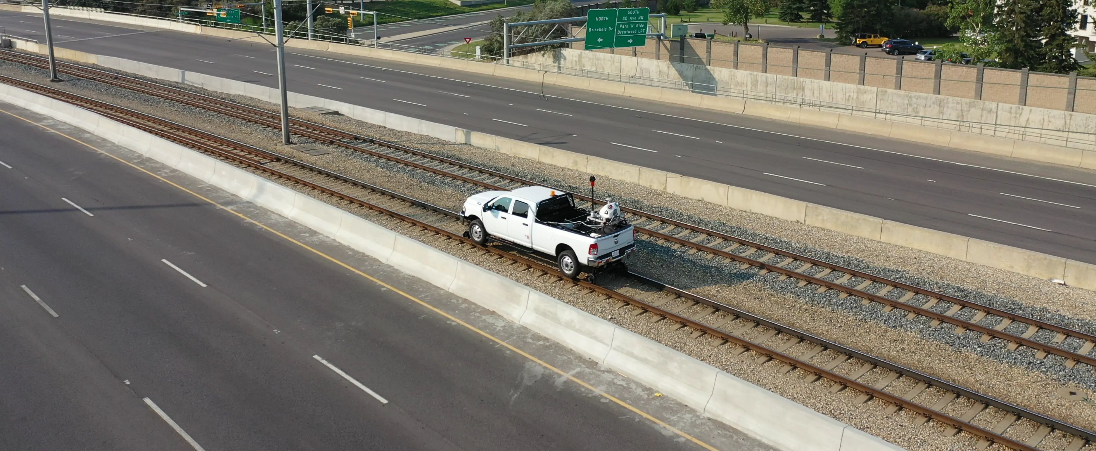
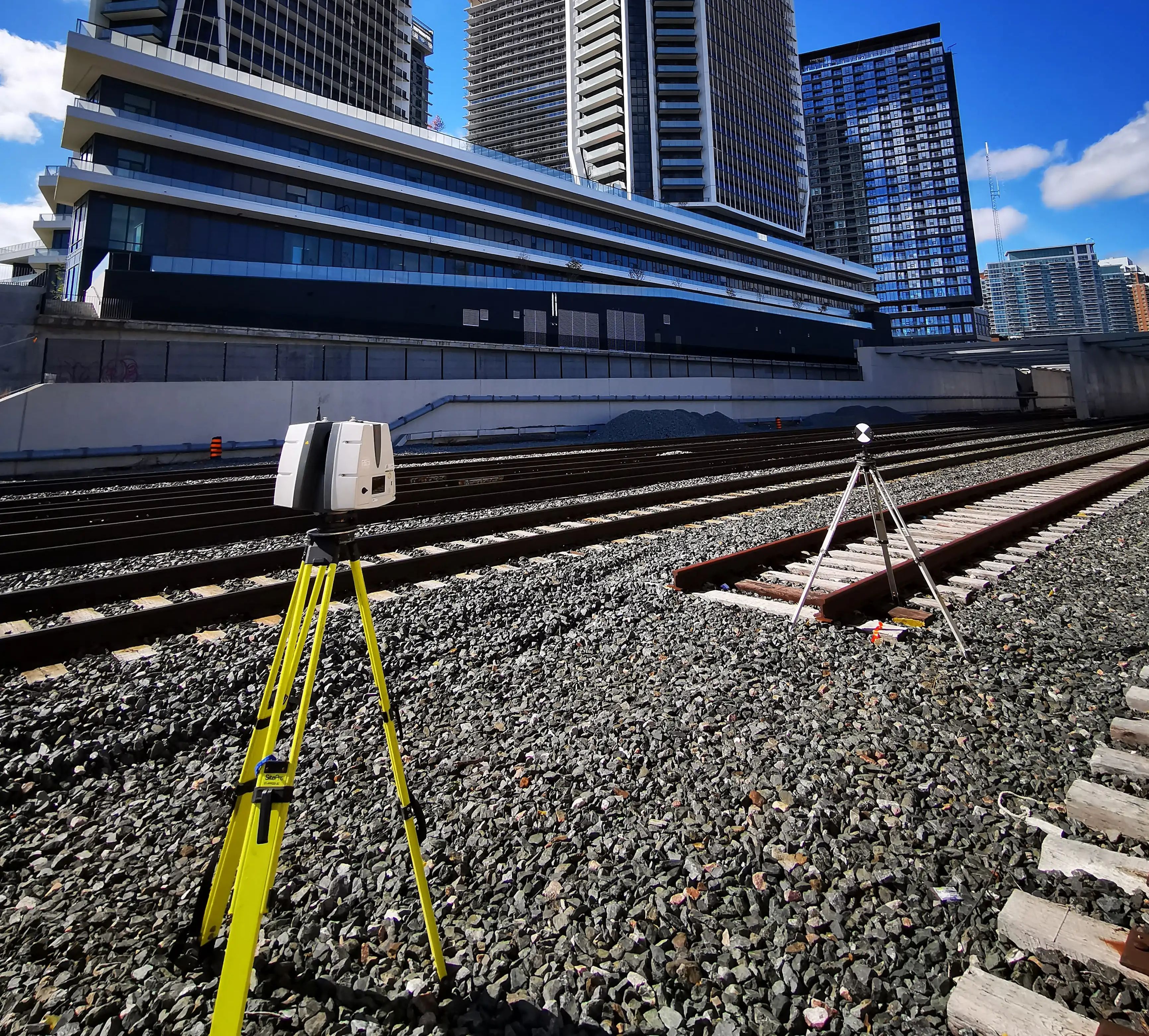
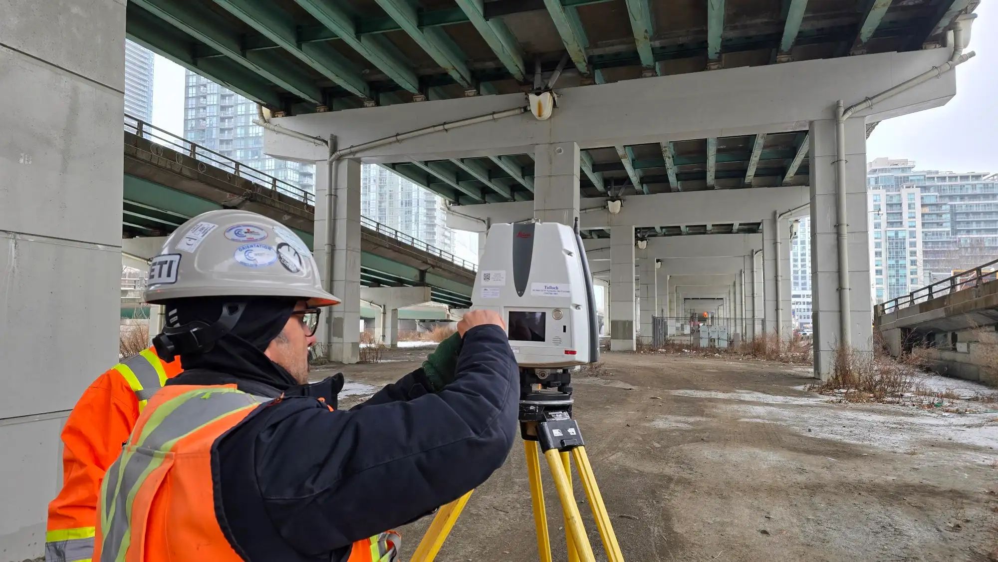
TULLOCH uses industry-leading LiDAR, geospatial, survey, and GIS applications to capture data with speed and accuracy, while minimizing disruption.
Transportation Insight
With hundreds of transportation projects across North America, we understand safety requirements, common constraints, and stakeholder coordination.

Construction Accountability
Extensive Contract Administration experience since MTO’s 1997 privatization helps project teams maintain construction quality with qualified support.
What We Offer
From Field Data to Construction Delivery
- Mobile, airborne, and static LiDAR scanning across active rail and transit corridors
- Corridor control networks, engineering surveys, and aerial imagery for large transit programs
- GIS web maps, dashboards, and spatial data tools for project team coordination
- Legal survey and right-of-way support for corridor protection and property impacts
- Geotechnical, environmental, and site constraint input to support early planning, approvals, and constructability review
- Building movement monitoring adjacent to tunnelling, excavation, and active transit corridors
- Technical advisory, expert opinion, and due diligence support
- Heavy rail, light rail, commuter rail, subway, yard, siding, and track infrastructure surveys
- Track and specialwork surveys covering switches, crossings, turnouts, structures, drainage, and track components
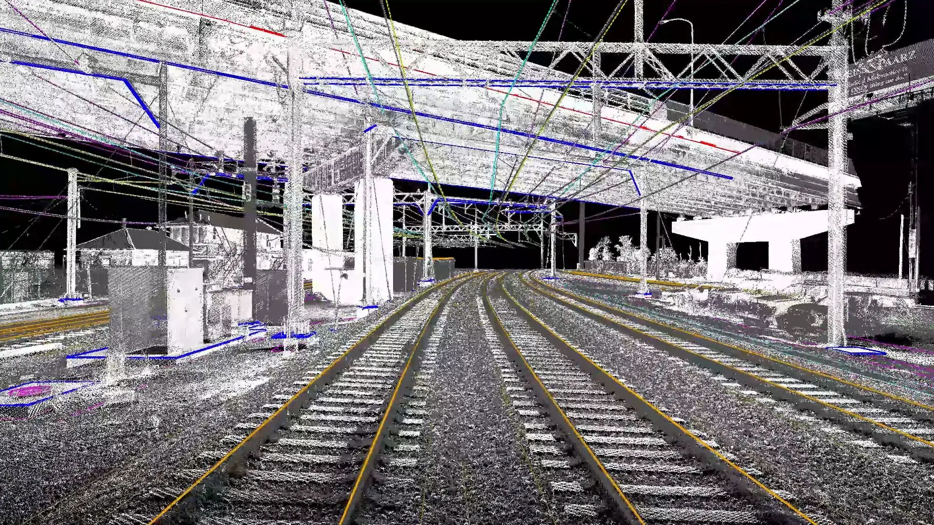
- Rail systems clearance analysis using point clouds, clearance plates, dynamic envelopes, and clash detection
- Communication, signal, PTC, OCS, traction power, and trackside power infrastructure mapping
- As-built rail corridor surveys, grade crossing surveys, and digital records for corridor planning
- Station, platform, maintenance facility, and rail equipment facility mapping
- Static LiDAR scanning for tunnels, structures, platforms, bridges, and facility interiors
- Clearance reviews for platforms, overhead systems, tunnels, facilities, and structures
- GIS asset inventories for trackside infrastructure, utilities, facilities, and site features
- As-built documentation supporting upgrades, modernization, and facility planning
- Geotechnical, environmental, and site servicing input for station, yard, facility, and access upgrades
- Corridor surveys, control networks, terrain modelling, and mobile LiDAR for major roadway programs
- Underground utility mapping to identify buried infrastructure, reduce conflict risk, and support design and construction planning
- Bridge, tunnel, overpass, ramp, interchange, and hard-surface surveys using LiDAR and field verification
- Legal surveys, ROW calculations, title review, reference plans, and ownership mapping
- Base plans, profiles, cross-sections, contour mapping, and digital deliverables aligned with agency standards
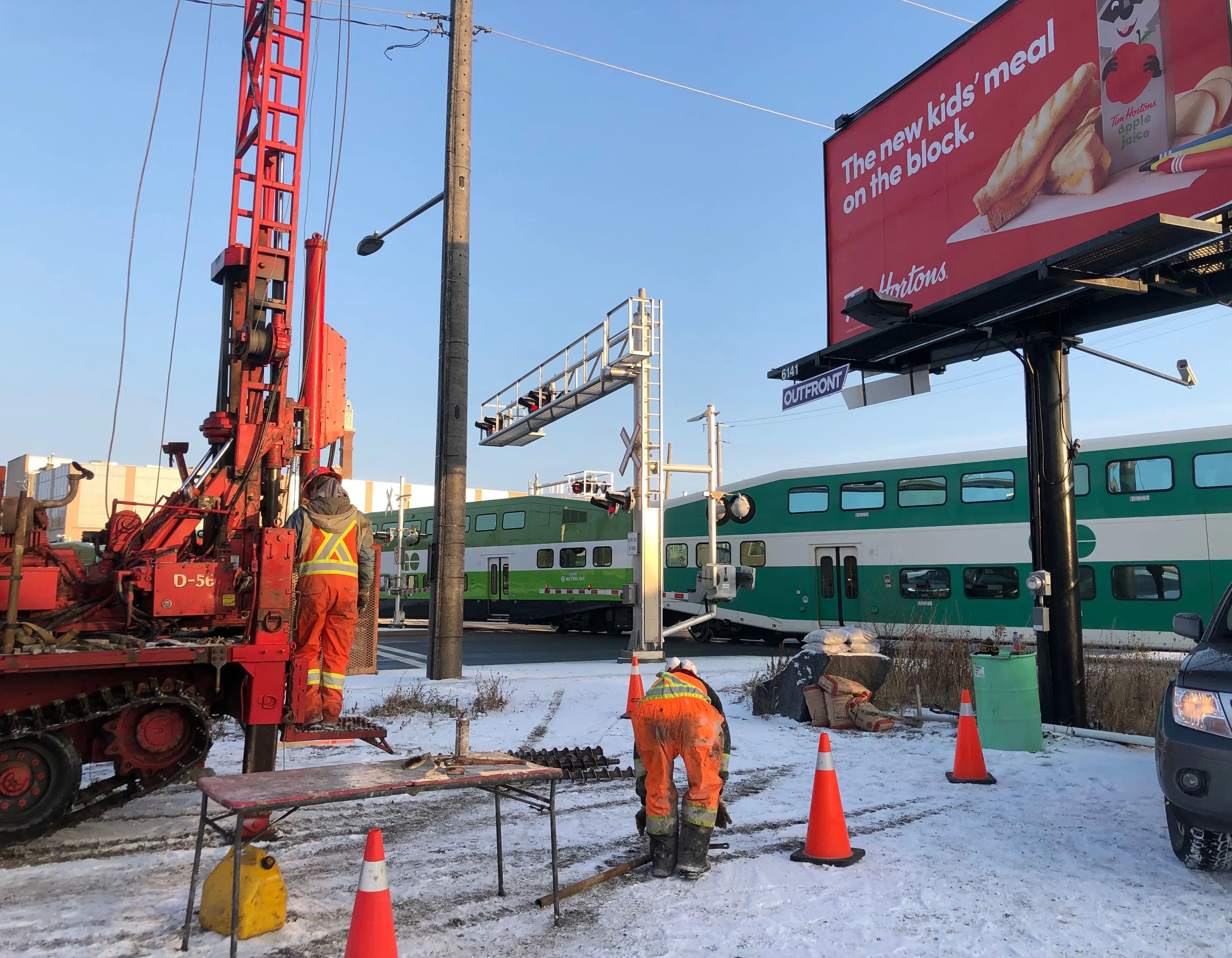
- Geotechnical investigations, settlement considerations, and foundation input for transportation infrastructure
- Instrumentation and monitoring for settlement, deformation, vibration, clearance, and adjacent infrastructure impacts
- Construction inspection, materials testing, contract administration, and field documentation during active construction
- Construction staking, high-precision layout, QA/QC surveys, as-built surveys, and quantity surveys
- Monitoring data, inspection records, GIS dashboards, and digital deliverables supporting field updates, issue tracking, and handover
- Settlement, deformation, clearance, and structural monitoring during construction
Solutions in Action
Relevant Experience
Featured Projects
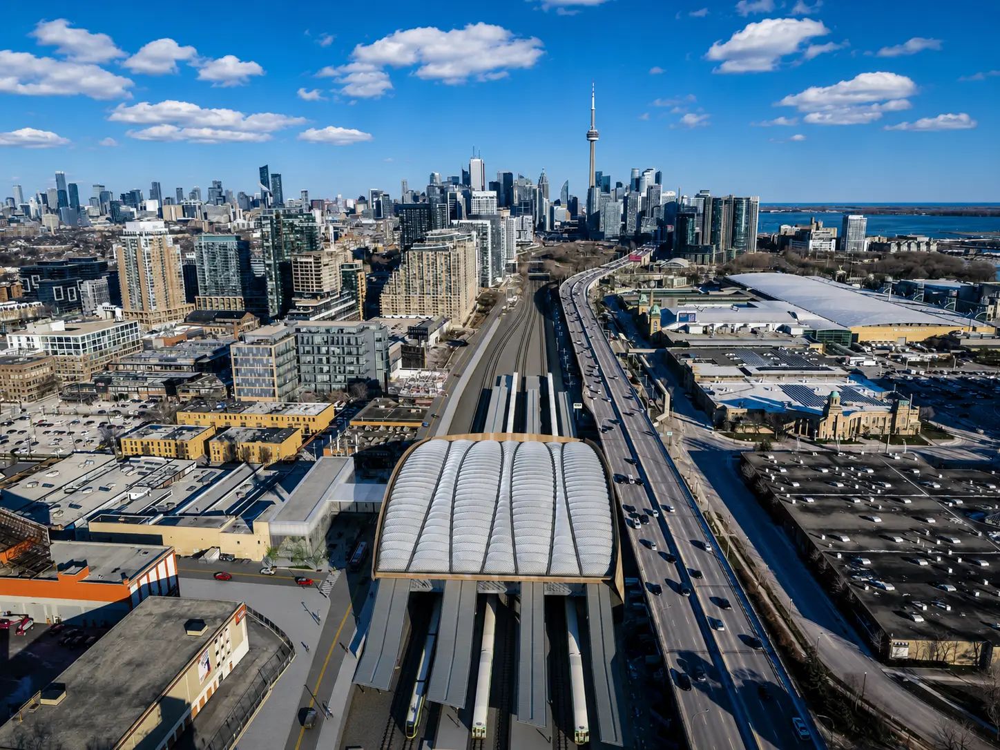
Ontario Line Subway
The Ontario Line will be a 15.6 km subway line, bringing 15 new stations to Toronto. TULLOCH has supported the project with various geomatics services during planning and construction.
Precision Data for Transportation Infrastructure
Additional Resources
Scope Your Transportation Corridor
Bring transportation expertise to projects across Canada, with geospatial, LiDAR, and GIS capabilities extending into many U.S. markets.
Get Answers
Transportation FAQs
Project location, corridor length, available drawings, survey limits, access restrictions, utility information, property requirements, schedule, and intended deliverables all help our team scope the work. Early details allow TULLOCH to identify the right field crews, equipment, safety planning, and technical support.
Corridor surveys capture physical site conditions such as terrain, structures, utilities, drainage, roads, tracks, and other built features. Legal right-of-way support focuses on property limits, ownership, easements, reference plans, and corridor requirements. Many transportation assignments need both.
Major corridors often involve active traffic or rail operations, limited field access, property constraints, utility conflicts, safety requirements, multiple agencies, and strict documentation standards. These factors make accurate data capture, coordination, and recordkeeping critical.
TULLOCH helps identify property limits, ownership information, right-of-way needs, easements, reference plan requirements, and potential access constraints. This gives project teams clearer information before design decisions, stakeholder discussions, acquisition planning, or construction staging.
Digital records can organize survey data, as-built information, asset locations, constraints, and project documentation in formats that support future design, maintenance, upgrades, and handover. This helps owners keep corridor information usable beyond the immediate project.