Energy Services
Powering Energy Projects Forward
Energy projects depend on reliable site data, permitting clarity, safe access, and construction-ready design. TULLOCH brings experience from some of Canada’s largest solar, wind, BESS, transmission, and pipeline projects, helping owners, developers, utilities, EPCs, contractors, and Indigenous groups plan and build with confidence.
Why Work With TULLOCH?
Trusted Across Energy Infrastructure

Experience at Scale
Hundreds of renewable, storage, and hydroelectric sites, plus work on thousands of KMs of corridors, guide successful delivery across project stages.

Field Intelligence
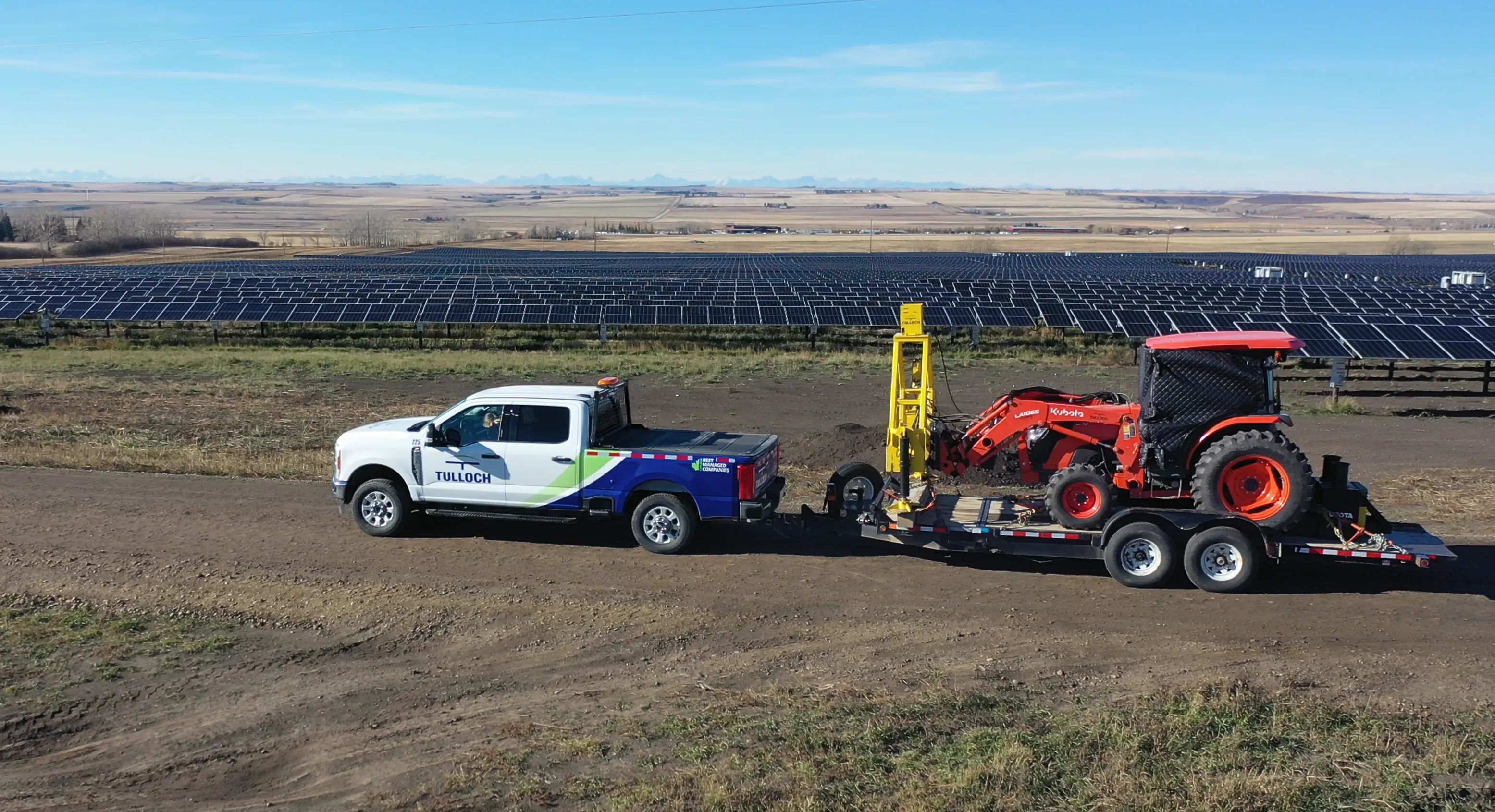
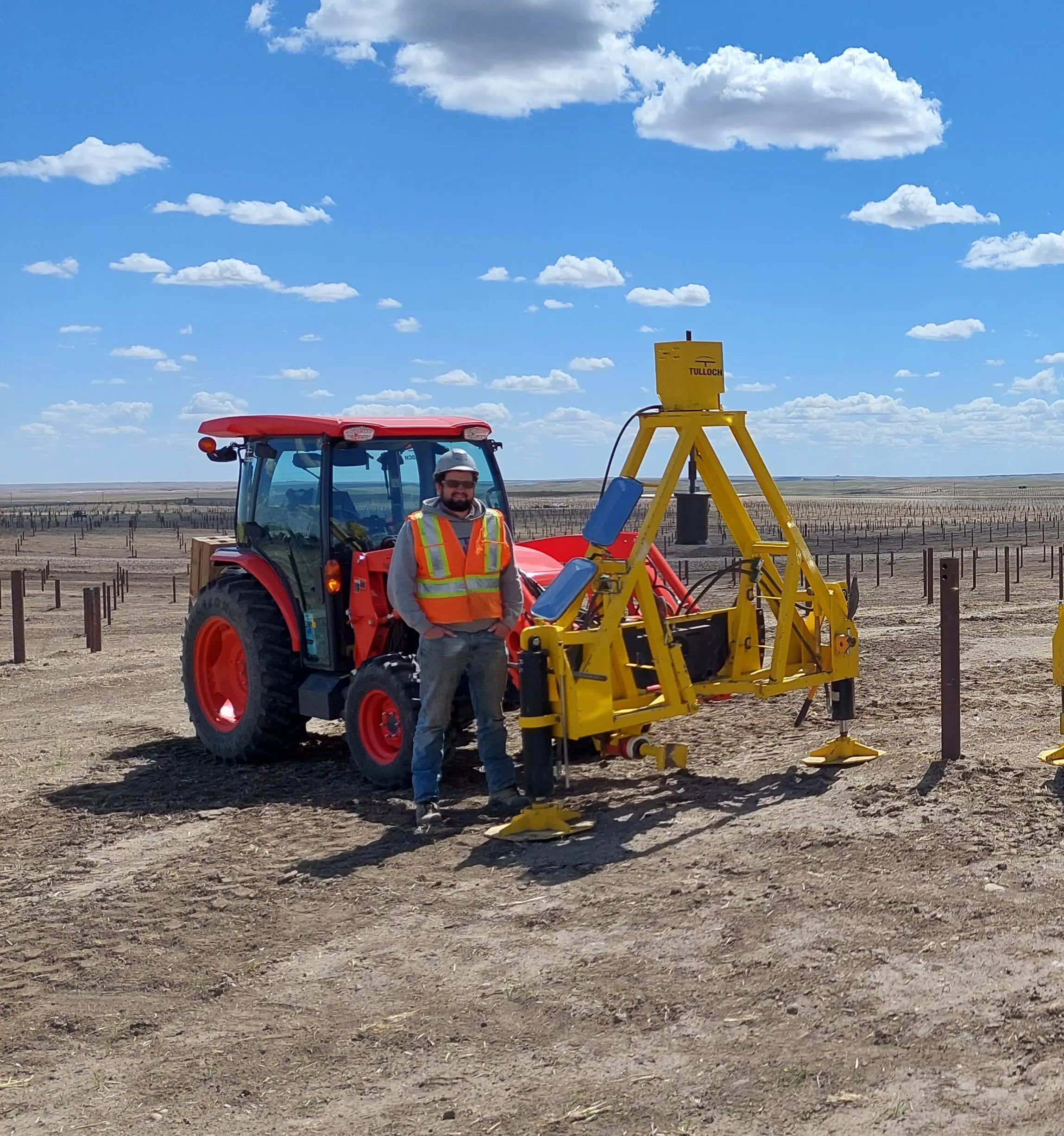
LiDAR, UAVs, GIS apps, and our custom pile testing tractor help clarify site conditions, support design decisions, and verify construction quality.

Industry Relationships
Indigenous partnerships, regulatory insight, and sector relationships help energy teams navigate project requirements and create local value.
What We Offer
Expertise for Energy Sites and Corridors
- PV and MV foundation design for private and utility-scale solar farms
- Solar pile load testing on all types, including custom PV pile adapter support
- Civil site design for access roads, grading, drainage, floodplain analysis, and stormwater management
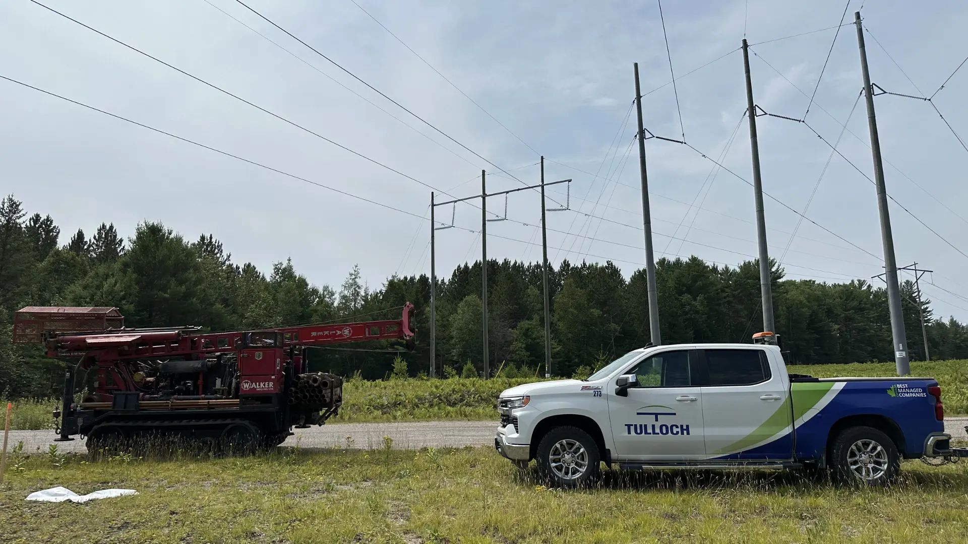
- Geotechnical investigations for solar foundations and racking systems, including frost, thermal, and electrical resistivity testing
- Legal, topographic, construction, and as-built surveys via conventional methods, LiDAR, and UAVs
- Planning and GIS input for solar site selection, feasibility, setbacks, zoning, and access
- Foundation design and geotechnical investigations for turbines, pads, and collector systems
- Wind farm control, topographic surveying, LiDAR mapping, and boundary retracements
- Civil design and route review for access roads, crane paths, turning radii, slopes, laydown areas, and turbine delivery requirements
- Environmental permitting for wind sites, including species, habitat, and watercourses
- Flood risk analysis, mapping and drainage review for access, siting, and staging
- Materials testing, road compaction review, and field inspections
- Foundation and civil design for BESS units, transformers, substations, and equipment pads
- Civil site design for grading, drainage, access, stormwater, and containment areas
- Geotechnical investigations for settlement, pavements, earthworks, and foundations
- Environmental permitting, due diligence, and excess soils planning
- Legal and topographic surveys, mapping, staking, and as-built records
- Construction inspections, materials testing, and QA/QC support
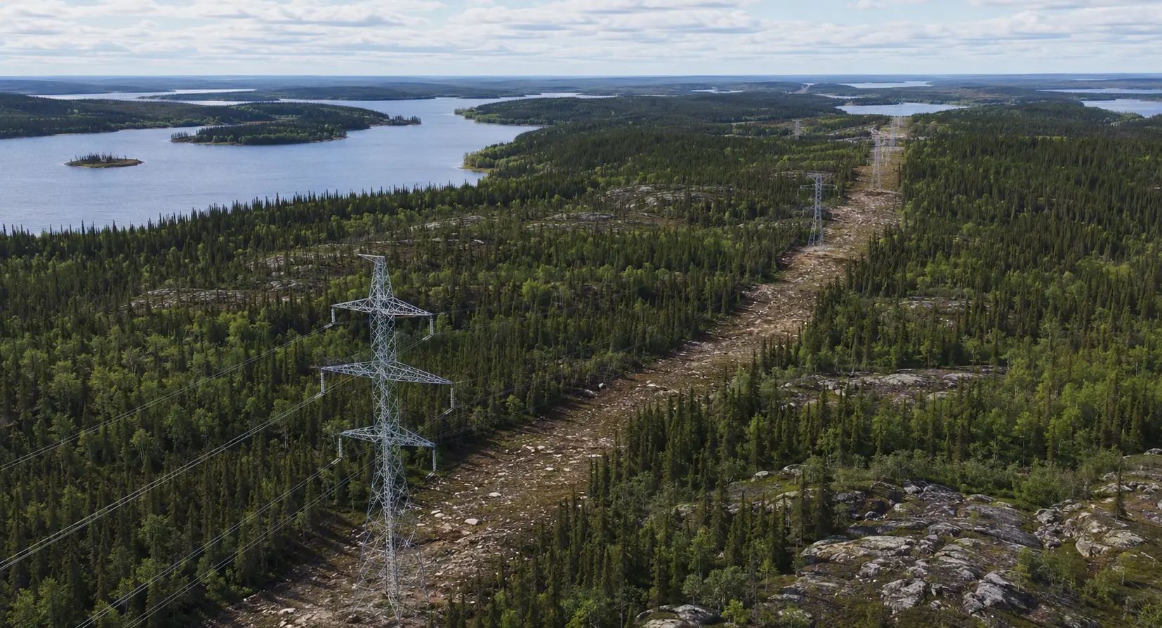
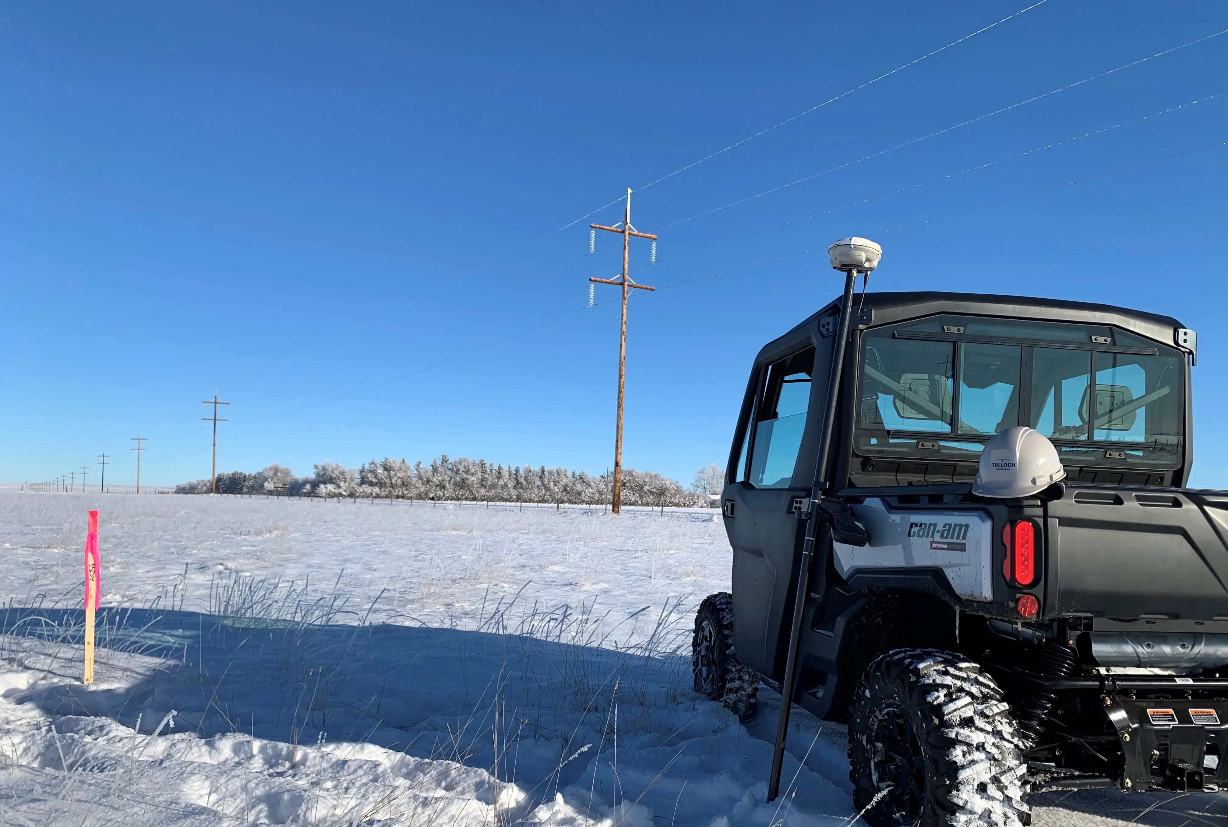
- Transmission corridor surveys for boundaries, rights-of-way, structures, and topographic features
- Airborne LiDAR for transmission terrain models, vegetation review, access planning, and corridor mapping
- Structure siting, access planning, and geotechnical investigations for poles, towers, and stations
- Environmental permitting, Species-at-Risk review, and natural heritage fieldwork for corridors
- Floodplain mapping and watercourse crossing assessments for transmission and distribution routes
- GIS constraint mapping, survey layout, and corridor data management
- Dam safety reviews, inspections, design, materials testing, and rehabilitation for hydroelectric structures
- LiDAR, UAV, bathymetric, and topographic surveys for dams, reservoirs, and shorelines
- Floodplain mapping, hydraulic modelling, and inundation review for dams and downstream areas
- Civil and structural engineering for spillways, intakes, foundations, and access works
- Geotechnical investigations, slope review, and shoreline stability assessments
- Environmental studies, habitat assessments, and monitoring
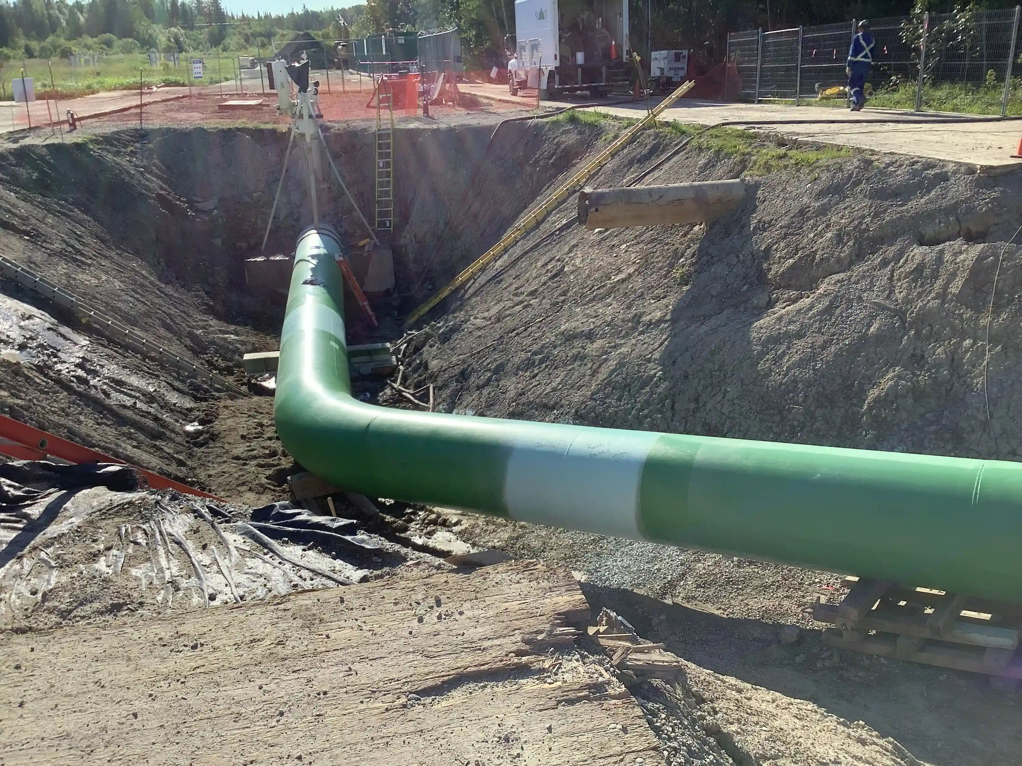
- Integrity dig surveys for pipeline access maps, dig plans, workspaces, and construction staking
- Pipeline right-of-way surveys for easements, boundaries, title, Crown land, and access
- Depth of cover, utility investigations, weld mapping, pipe data, and as-built surveys
- Pipeline facility mapping using LiDAR, UAV imagery, 3D models, and field survey data
- Geotechnical investigations, floodplain mapping, watercourse review, and crossing assessments
- Environmental permitting, due diligence, excess soils planning, and regulated materials review
- Geotechnical investigations for bedrock, seepage, foundations, and site feasibility
- LiDAR, topographic, and legal surveys across nuclear and alternative energy sites
- Civil and structural engineering covering intake works, access roads, and foundations
- Environmental assessments and monitoring for nuclear waste management
- Baseline sampling, Species-at-Risk studies, and GIS mapping
"TULLOCH consistently delivers high-quality work with exceptional attention to detail and practicality. Their custom-built testing rig significantly reduces hazards, setting them apart from competitors in the market."
Sr. Engineering Manager
Barton Malow Canada
Solutions in Action
Relevant Experience
Featured Projects
Travers Solar
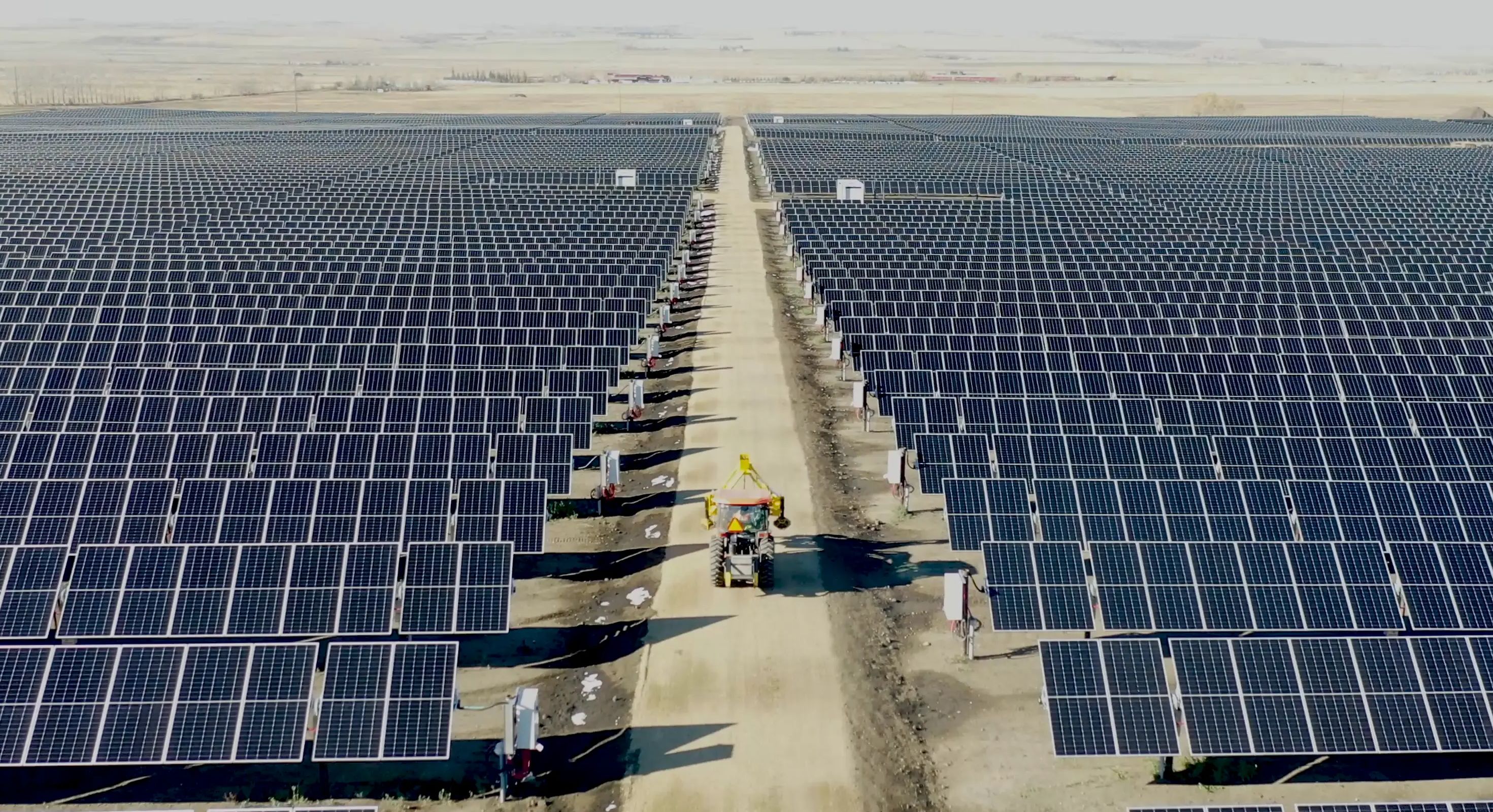
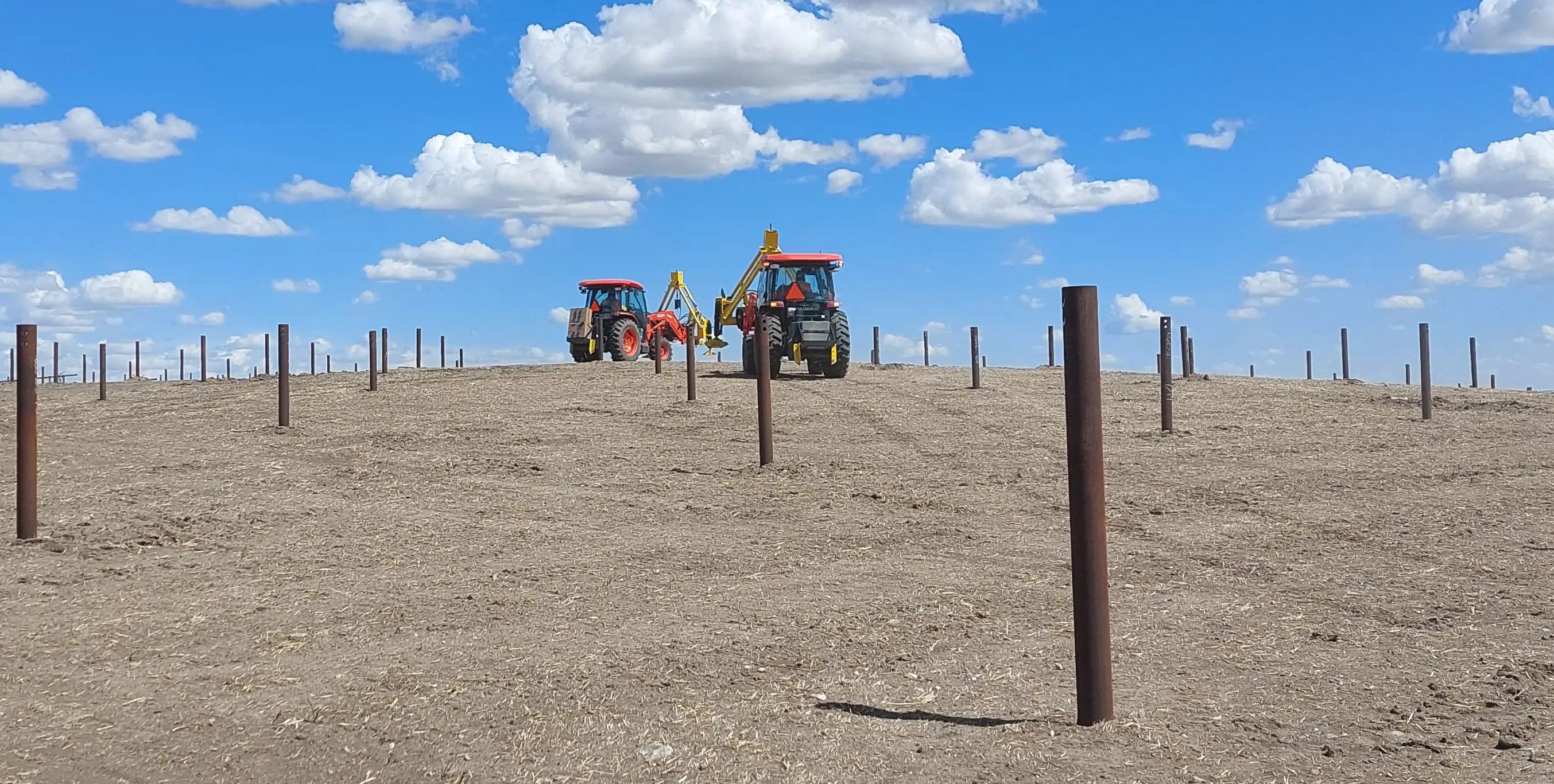
TULLOCH provided engineering, surveying, LiDAR, and solar foundation testing for Travers Solar, the 465 MW project that became Canada’s largest photovoltaic power station.
Advance Your Energy Project
Access multidisciplinary support for energy projects across Canada, with select capabilities extending into U.S. markets.
Get Answers
Energy FAQs
Helpful starting information includes the project location, site plan or corridor route, project type, schedule, known constraints, and current design stage. For corridor or remote projects, access details and background data are also useful.
TULLOCH’s in-house pile testing rig helps reduce hazards and improve testing efficiency during solar foundation verification. It gives project teams reliable data to confirm foundation performance and support construction decisions.
Early surveys, geotechnical investigations, environmental screening, and GIS mapping can identify constraints related to access, soil, drainage, permitting, and constructability before major design decisions are made. This helps reduce redesign, delays, and construction-phase surprises.
LiDAR and GIS turn field data into usable maps, models, constraint layers, terrain information, and construction records. These tools help site selection and improve visibility for owners, designers, contractors, regulators, and field teams.
Energy corridors often involve access constraints, property requirements, environmental crossings, Indigenous and community engagement, and long construction limits. Coordinated technical planning can help reduce gaps between design and construction.