Geomatics Services: Surveying, Engineering, Geospatial, and GIS
Setting the Standard in Geomatics
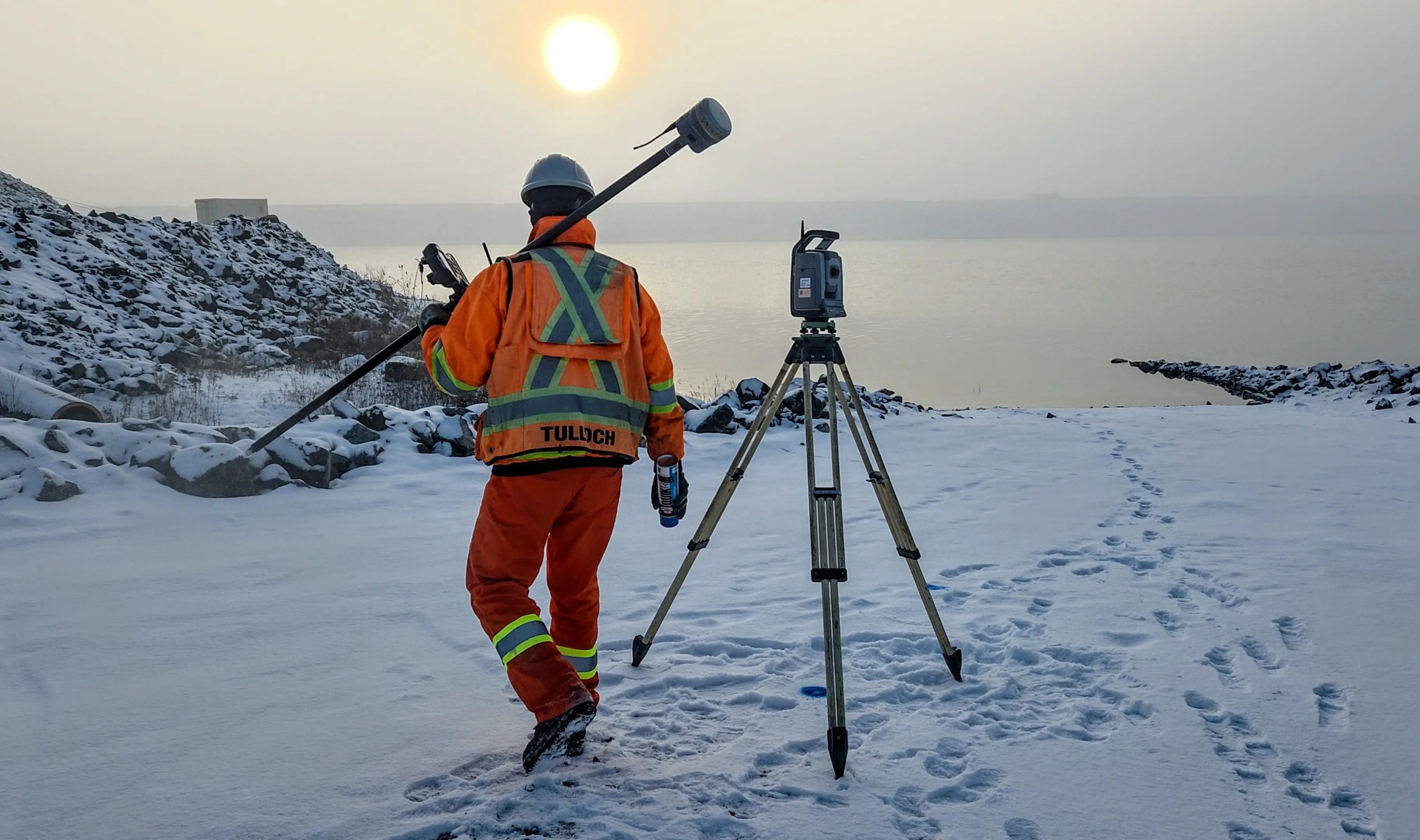
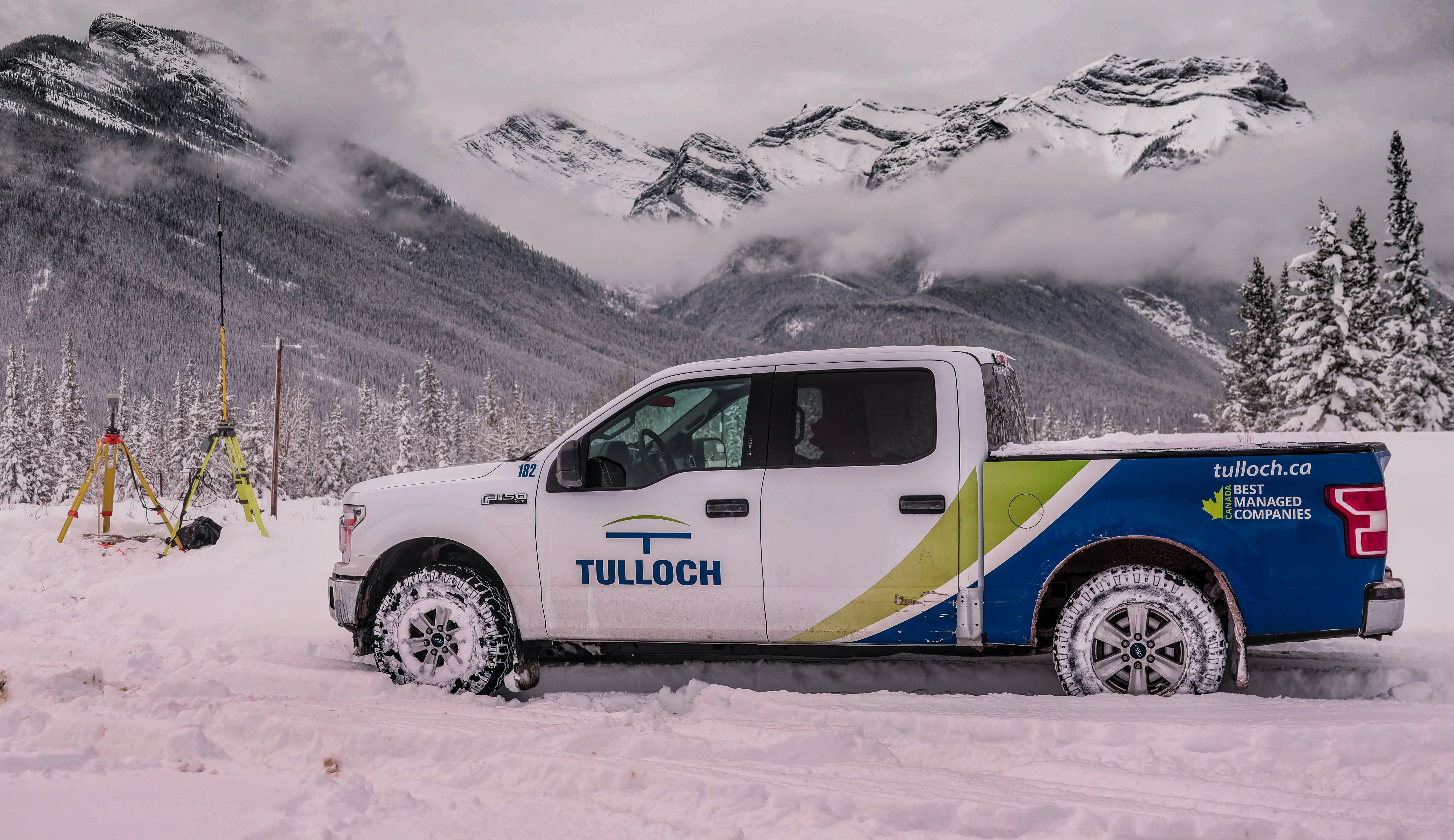
Widely regarded as one of Canada’s premier geomatics firms, TULLOCH provides professional expertise for projects ranging from individual property needs to complex infrastructure and corridor assignments. We transform field observations into decision-grade spatial information for planning, design, construction, and ongoing operations.
Why Work With TULLOCH?
Expertise That Adapts to the Assignment
Proven Delivery
Experienced professionals and field crews bring technical discipline, thorough documentation, and practical insight to demanding assignments.

Scalable Support
Responsive geomatics resources adapt to changing project demands, site conditions, schedules, and multi-phase programs.
Advanced Technologies
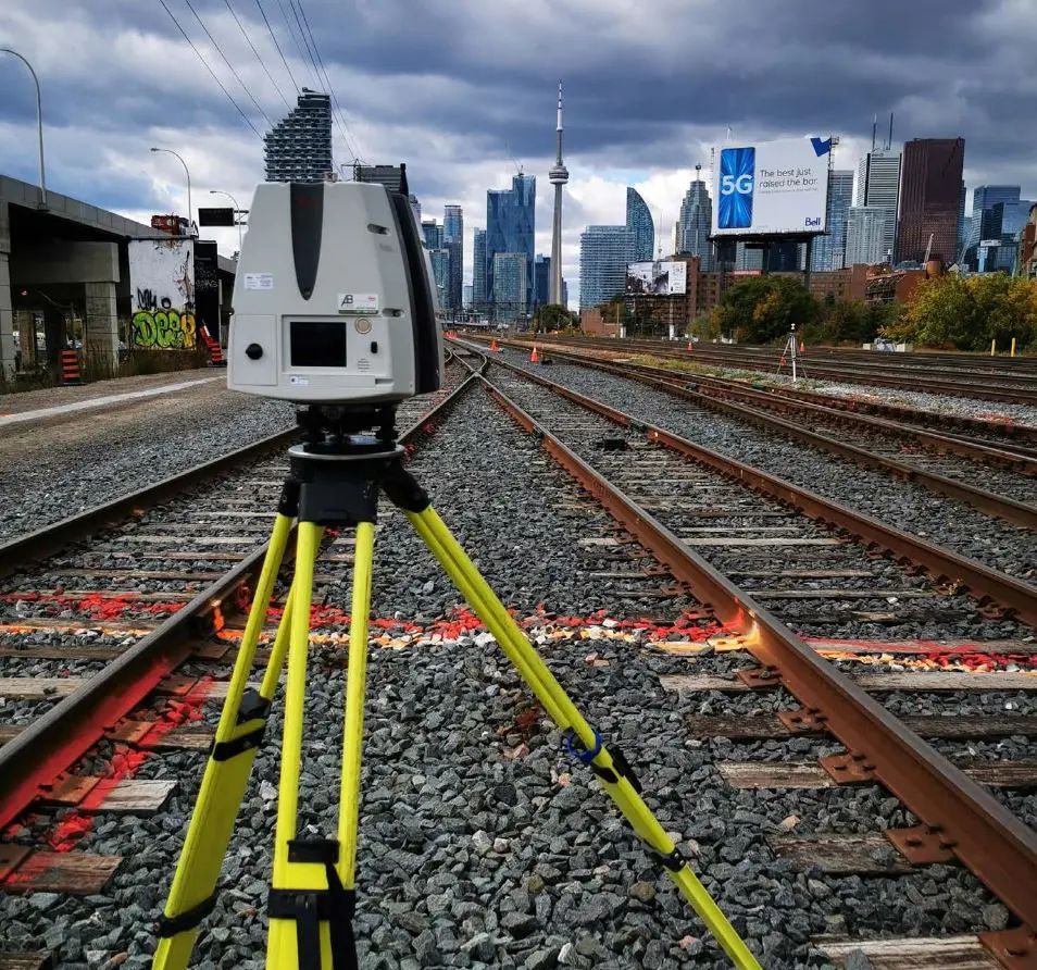
Leading-edge geomatics technologies provide accurate site information, improve field efficiency, and support consistent deliverables.
Core Geomatics Disciplines
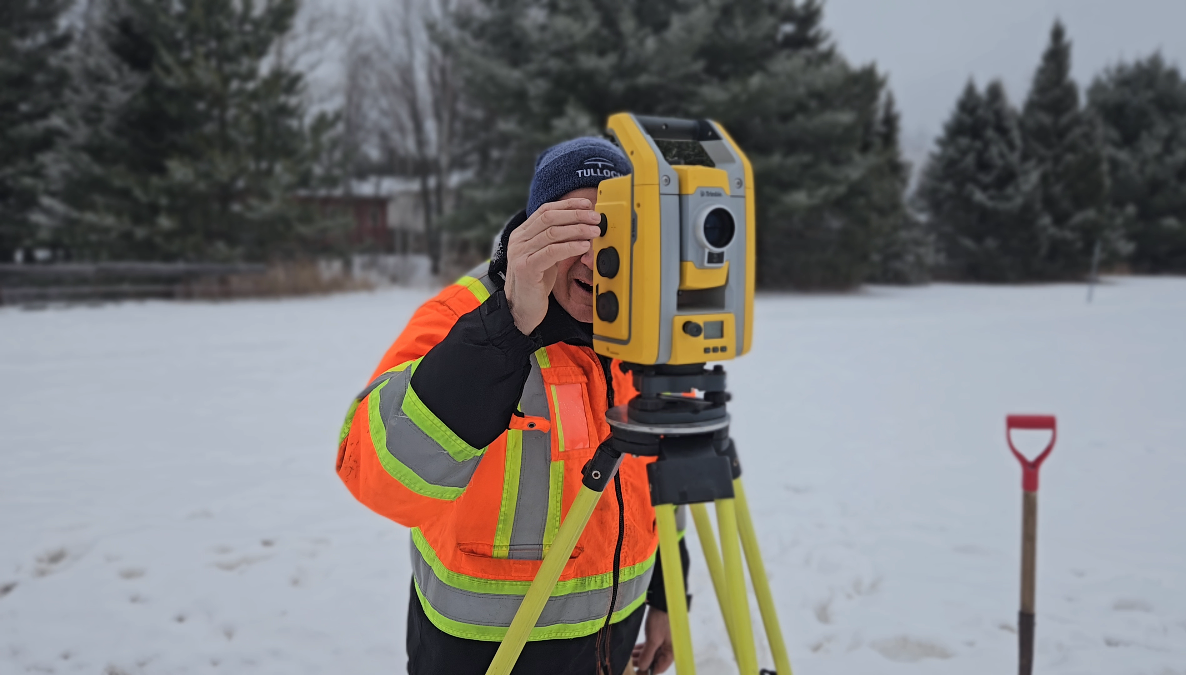
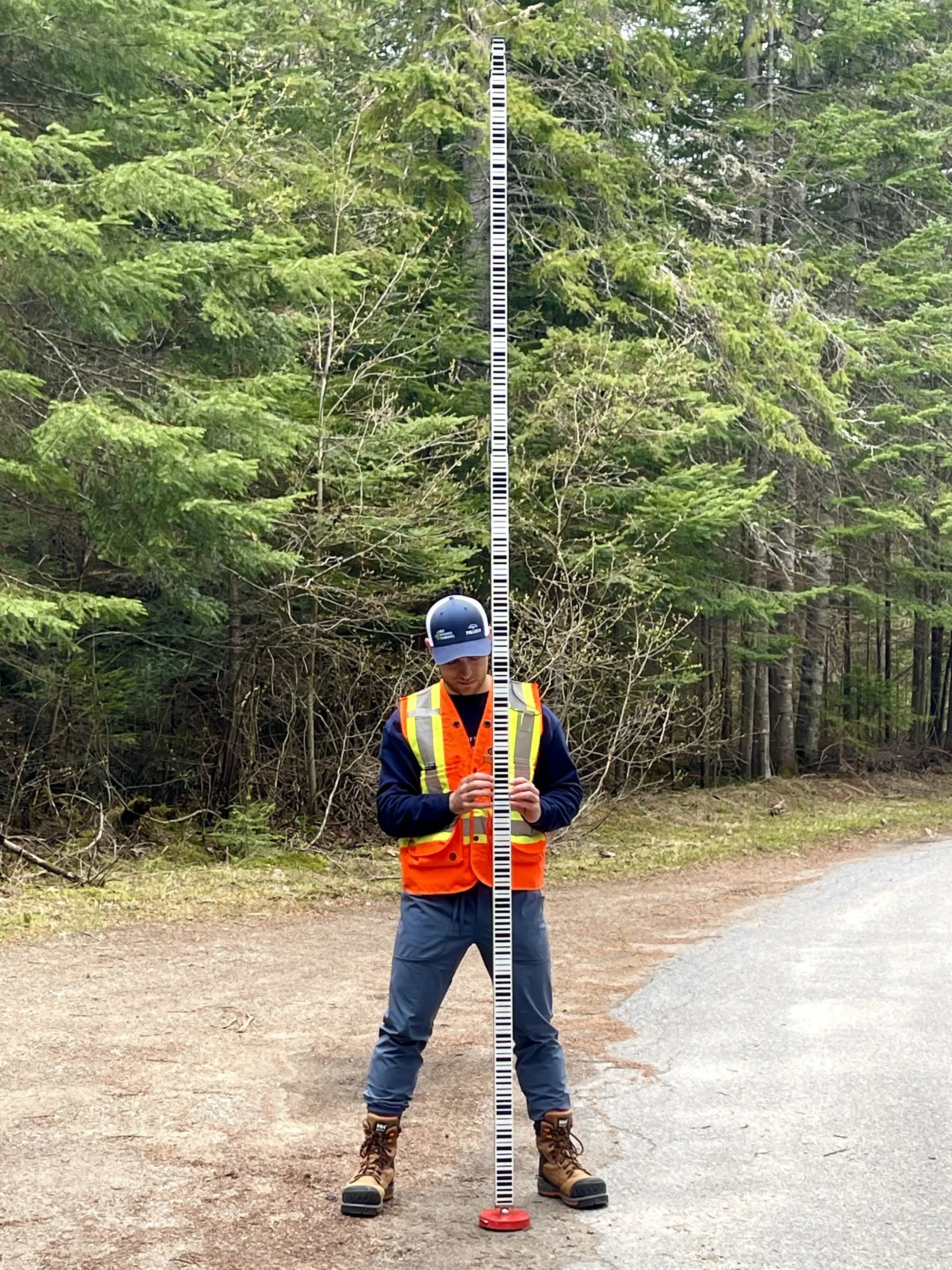
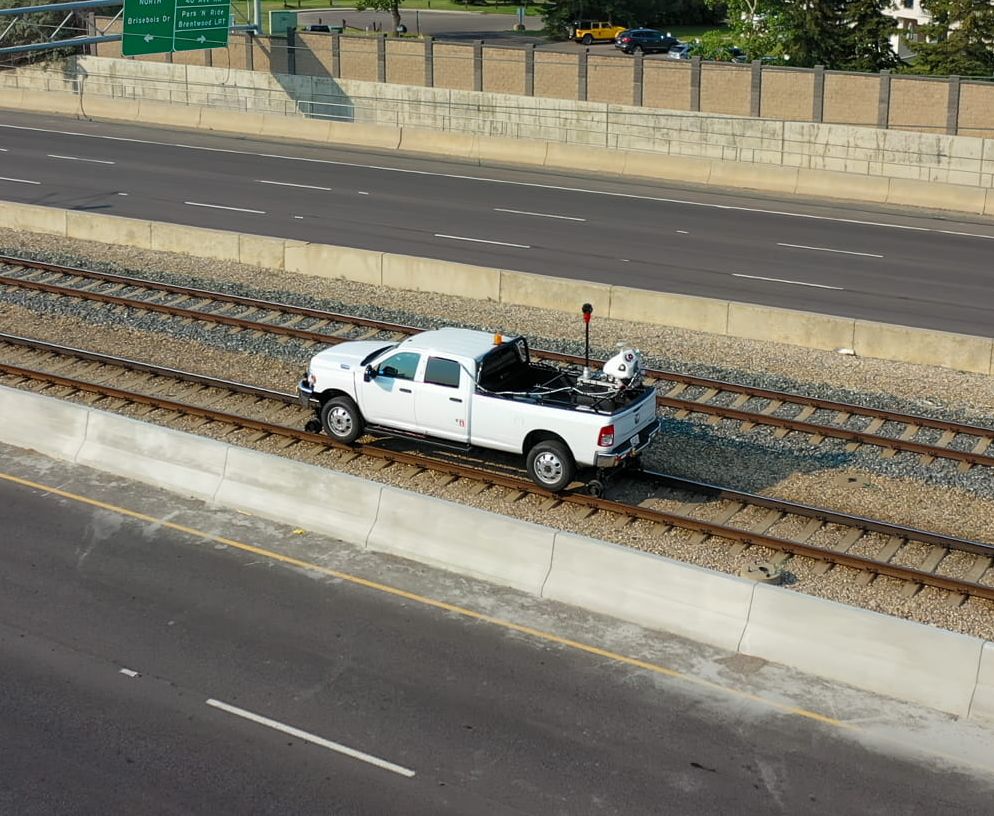
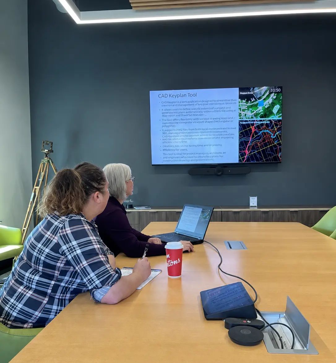
Solutions in Action
Relevant Experience
Featured Projects
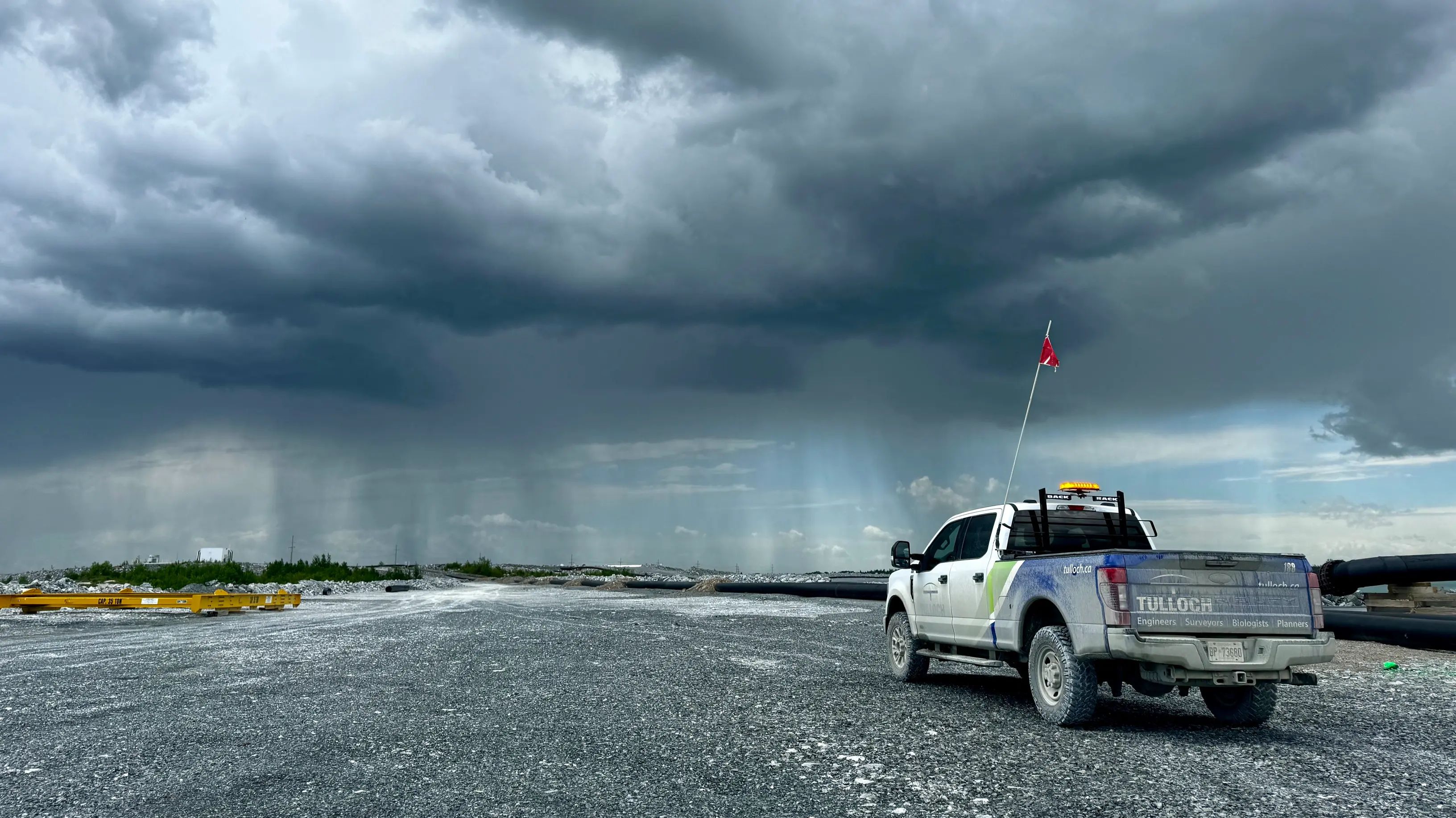
Rainy River Mine
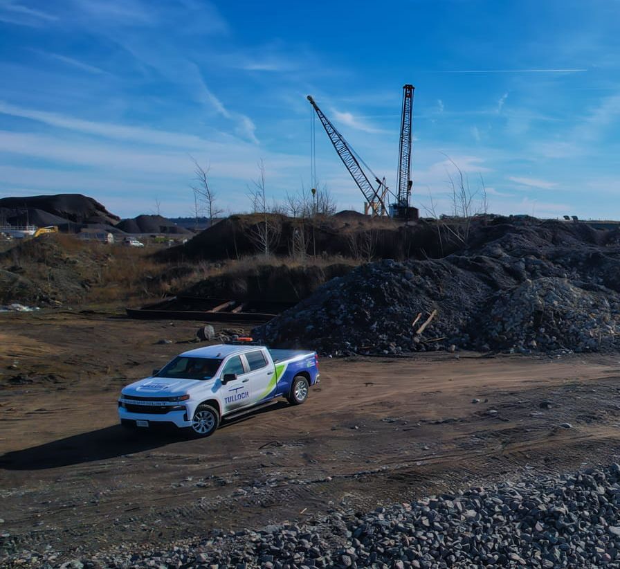
TULLOCH provides engineering, QA surveying, materials testing, and civil inspection at New Gold’s Rainy River Mine, supporting ongoing tailings and site construction.
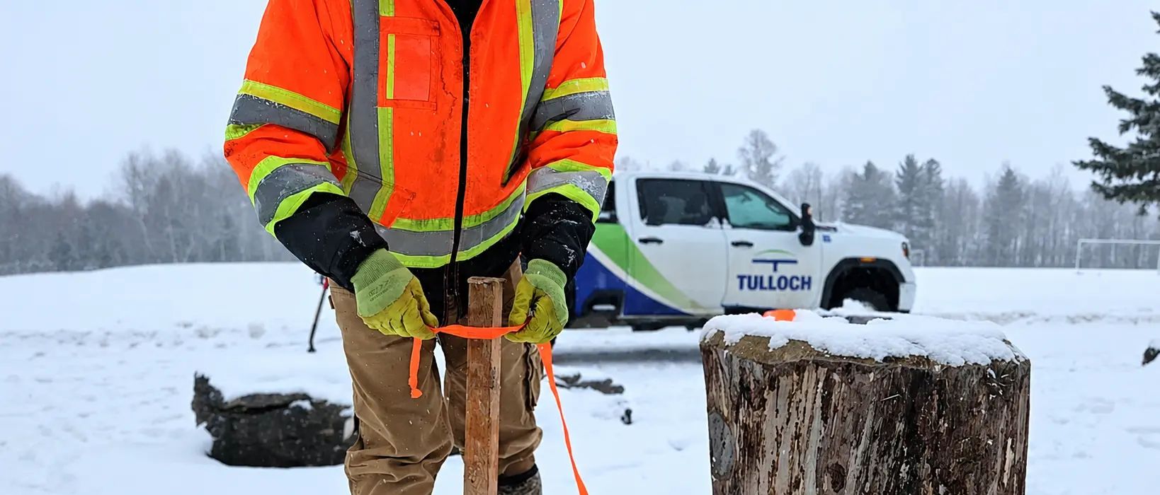
Define the Right Geomatics Approach
Find the right geomatics approach for your assignment, with capabilities extending across Canada and into select U.S. markets.
Get Answers
Geomatics FAQs
Start with your decision need. Legal boundary or title support points to land surveying. Precision layout, control, or monitoring points to geomatics engineering. LiDAR mapping points to geospatial services. Dashboards, analysis, and data systems point to GIS. If you are unsure, we can scope it with you in a short call.
Mobilization depends on scope, site access, and logistics. Many projects can begin within days. Remote sites may require additional lead time.
We support projects across Canada, with strong coverage across Ontario and Alberta, and select U.S. work through our specialized mapping capabilities.
TULLOCH selects conventional survey, GNSS, LiDAR, UAV, hydrographic, GIS, or combined methods based on accuracy, access, safety, schedule, budget, and deliverable requirements. The technology is matched to the project need.
Yes. Work is led by licensed professionals and supported by documented QA/QC practices. We maintain professional liability coverage appropriate to our scope of work.