Geospatial and LiDAR Services
Advanced LiDAR for Project Delivery
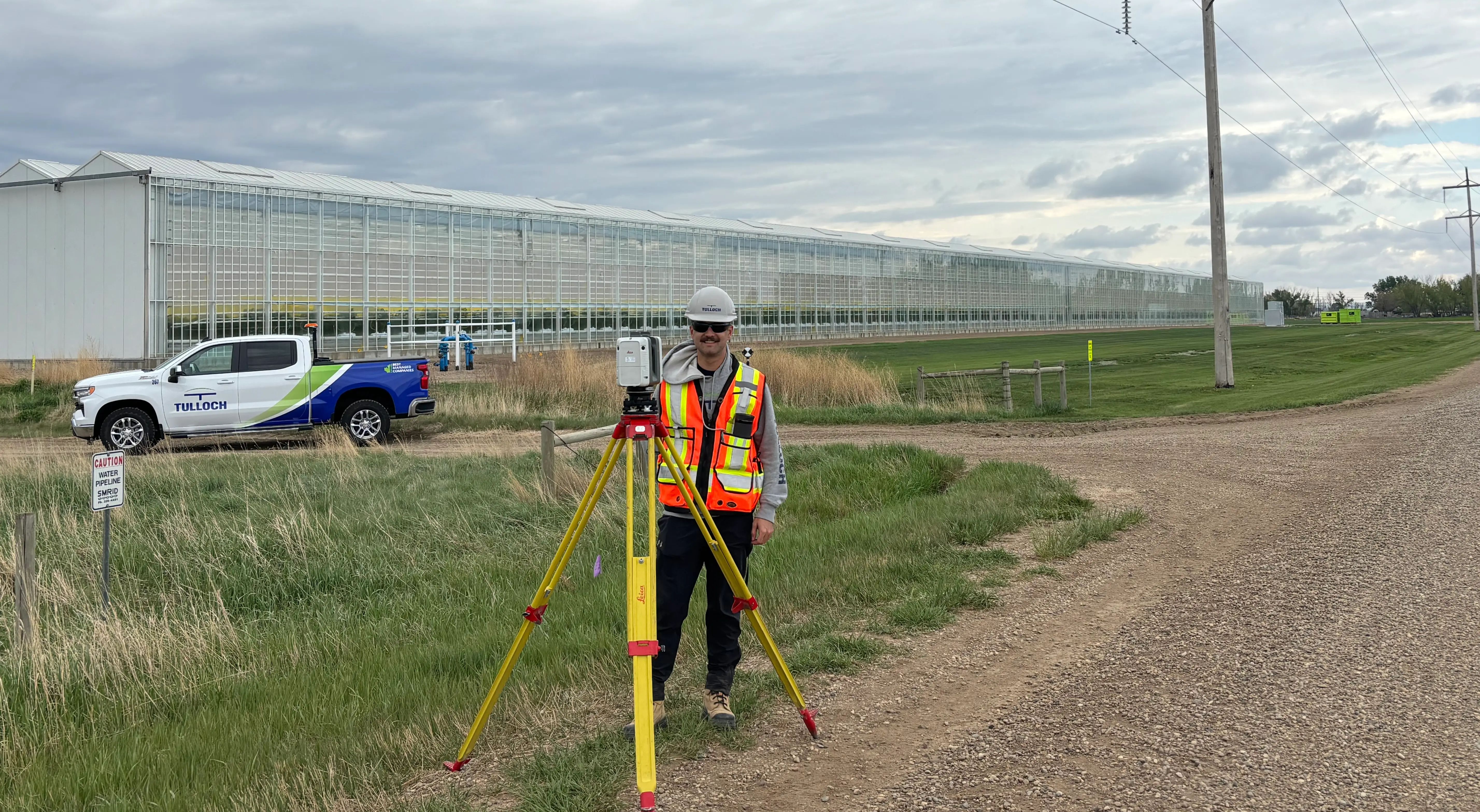
TULLOCH combines industry-leading mobile, airborne, and terrestrial LiDAR capabilities with conventional survey methods to capture spatial information for corridors and facilities. We match deliverables to project requirements, providing a comprehensive record of existing conditions for planning, design, and construction.
Why Work With TULLOCH?
Geospatial Data That Drives Better Decisions
LiDAR Expertise
Early adoption and deep operational experience across LiDAR applications give clients confidence in proven capture and processing workflows.
Safer Data Capture
LiDAR and UAV technologies document hard-to-access areas remotely, reducing field exposure while collecting information project’s require.

Design-Ready Deliverables
CAD, BIM, and GIS-ready outputs meet project requirements, giving designers, engineers, and project teams a consistent reference for work.
What We Offer
Service Areas
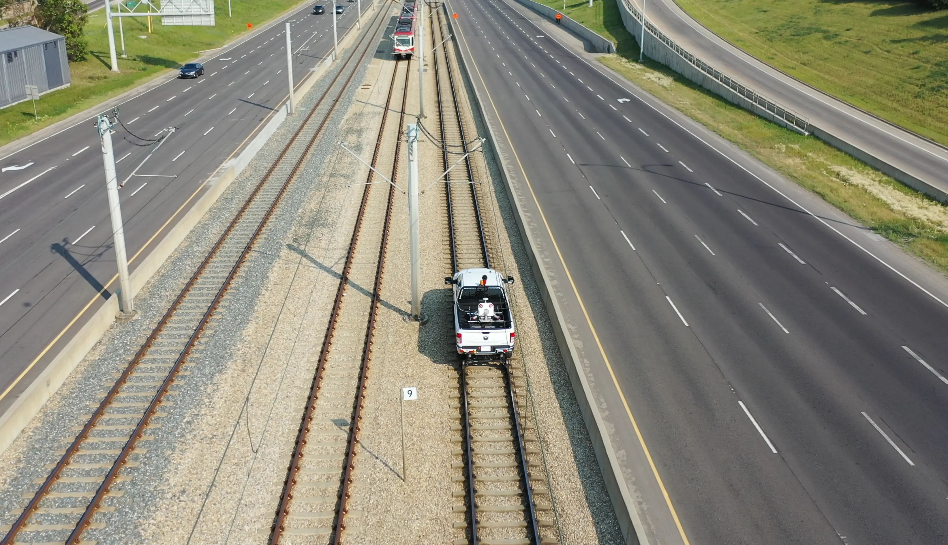
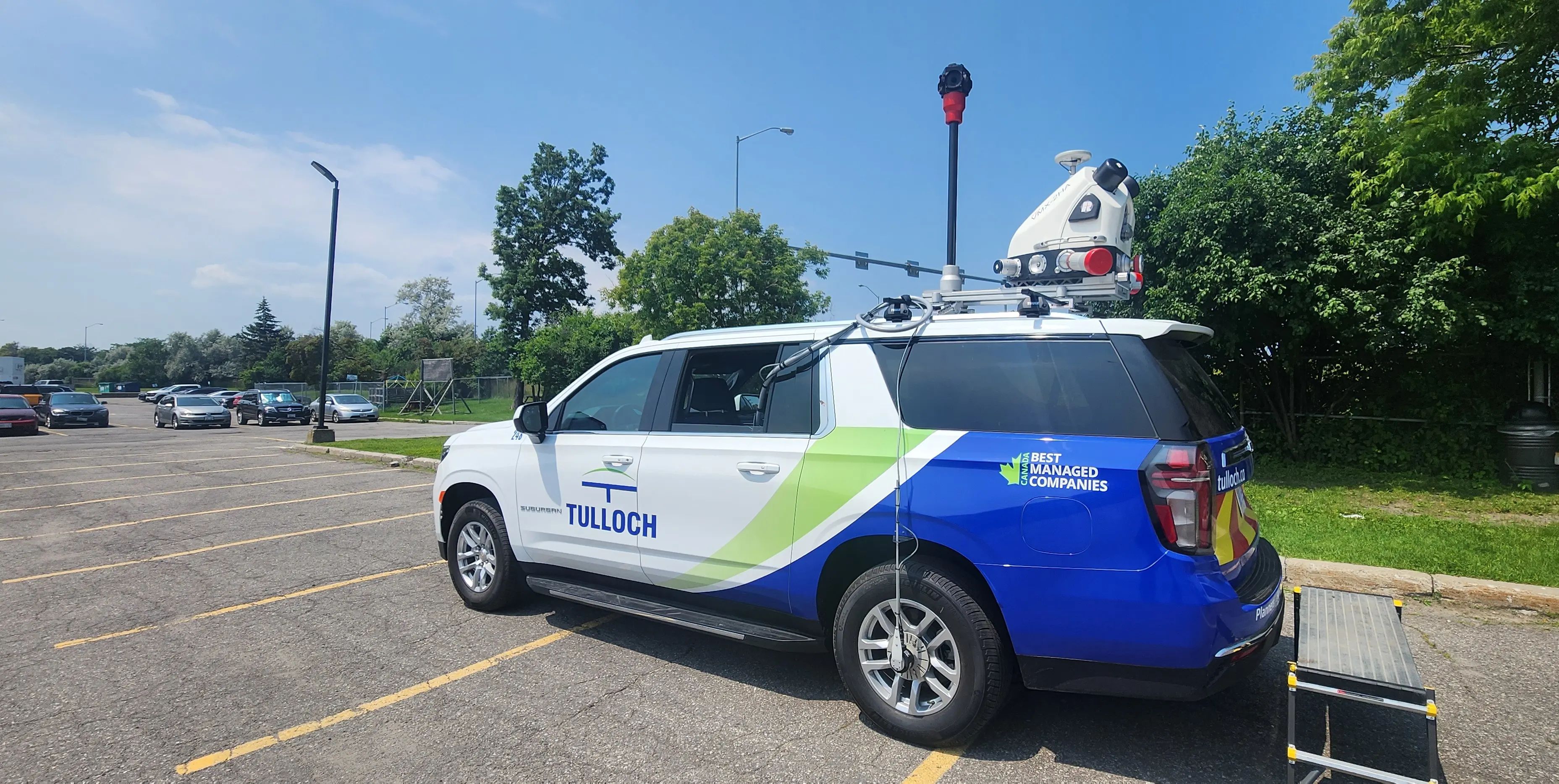
- Mobile LiDAR mapping
- Terrestrial LiDAR scanning
- Airborne LiDAR acquisition
- High-definition 3D laser scanning
- Survey control integration and georeferencing
- Point cloud registration and QA/QC
- Aerial imagery and UAV surveys
- High-resolution orthoimagery and mosaics
- 3D modelling from aerial and survey data
- Terrain capture for large sites, corridors, and remote areas
- Aerial imagery to support mapping, planning, and design
- Topographic mapping and contouring
- Digital terrain and elevation models
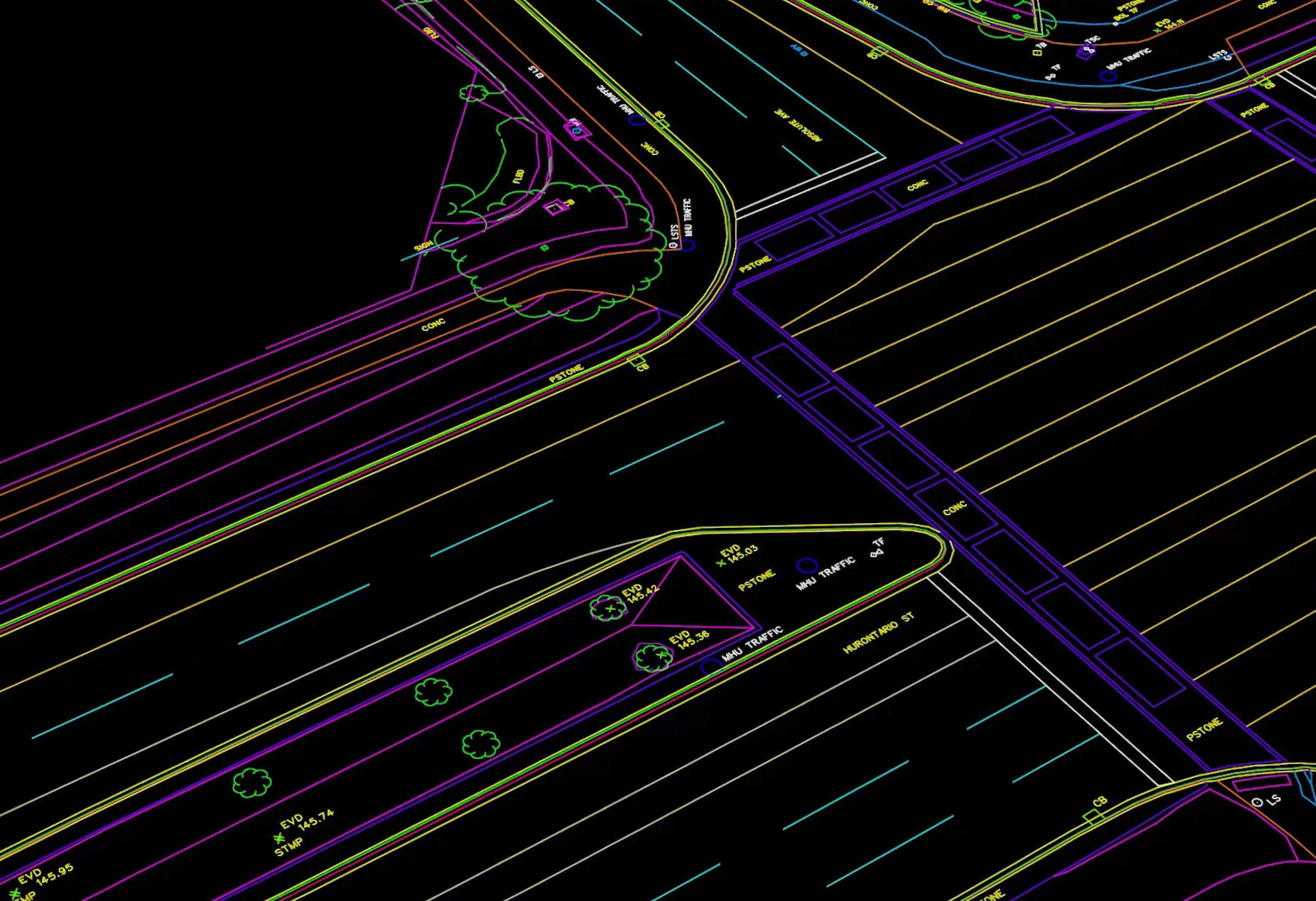
- 3D scan extraction and CAD modelling
- Scan-to-BIM workflows and design platform exports
- Video logging and asset inventories
- CAD, BIM, GIS, and design-ready datasets
- Existing conditions and as-built surveys
- Clearance and obstruction analysis
- Volume, deformation, and change detection
- Complex curve and geometry capture
- Bridge, tunnel, structure, and corridor mapping
- Underground utilities mapping and records integration
- Shoreline and hydrographic mapping
- Terrain and bathymetric mapping for floodplain studies
- Slope, aspect, and elevation analysis
- Terrain modelling for drainage, access, and constraints
- Surface data to support environmental and infrastructure planning
- Remote sensing data for land, water, and corridor analysis
Process and Methodologies
From Data Capture to Design-Ready Deliverables
Plan the Capture
Confirm objectives, accuracy requirements, safety constraints, control needs, platforms, and deliverable formats.
Set Control and Calibration
Configure equipment, establish control, and complete calibration checks to support consistent data alignment.
Acquire Site Data
Capture LiDAR, imagery, video, and other geospatial datasets using the right platform for site conditions.
Register and Clean Data
Align, georeference, filter, and validate datasets so point clouds and imagery are production-ready.
Extract and Model Features
Extract terrain, structures, utilities, assets, and existing conditions for maps, models, and analysis.
Product Delivery
Provide CAD, BIM, GIS, point cloud, and mapping outputs aligned with project and client standards.
Solutions in Action
Relevant Experience
Featured Projects
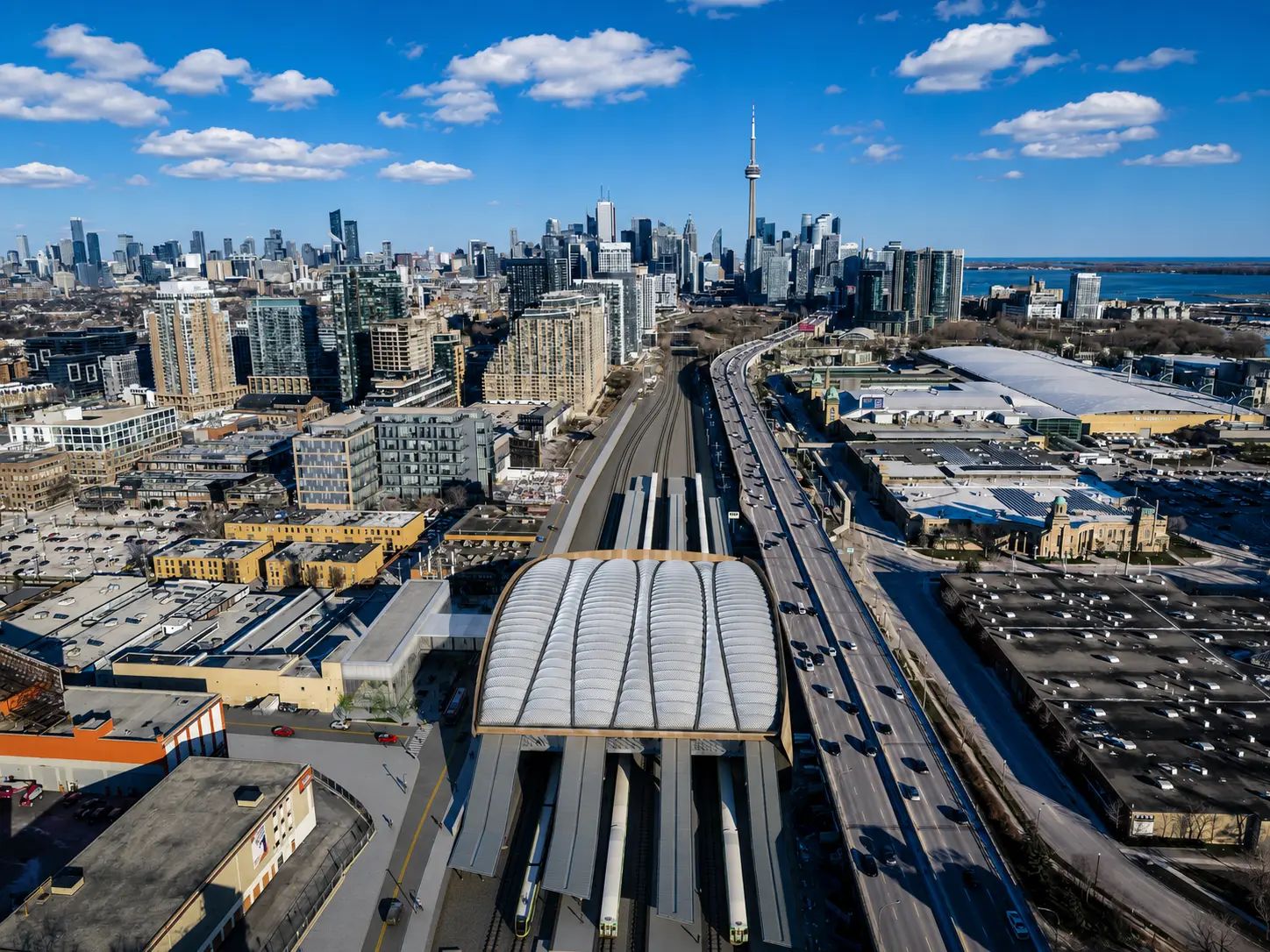
Ontario Line Subway
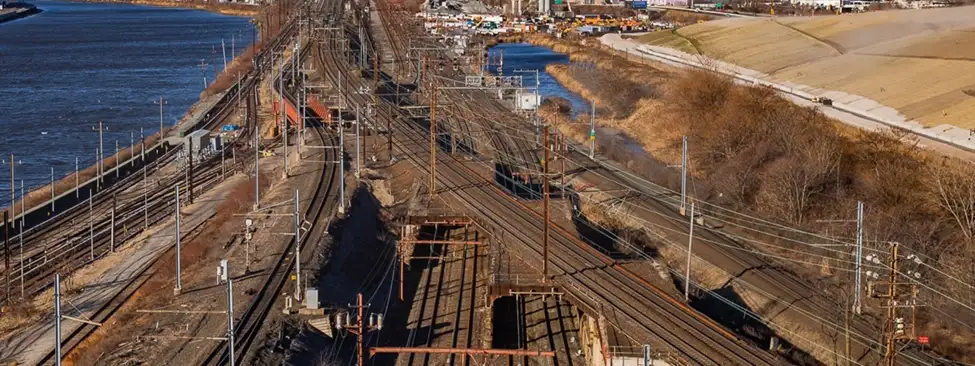
The Ontario Line will be a 15.6 km subway line, bringing 15 new stations to Toronto. TULLOCH has supported the project with various geomatics services during planning and construction.
Experience the Power of LiDAR
Plan Your LiDAR Project
Select the right capture approach for your site or corridor with geospatial and LiDAR capabilities available across North America.
Looking for Geospatial Expertise in the United States?
Connect with the TULLOCH Mapping team.
Get Answers
Geospatial and LiDAR FAQs
TULLOCH has been a mobile LiDAR pioneer since 2003, when our team completed one of the world’s first commercial LiDAR surveys on Highway 1 in Afghanistan. Since then, we have continued to use LiDAR to capture accurate, efficient, and design-ready data for complex sites and corridors.
LiDAR is useful when a project involves large areas, complex geometry, limited access, traffic, active operations, or detailed existing-condition capture. Conventional surveys may still be used for control, verification, boundary work, and high-precision point measurements.
Helpful starting information includes the site or corridor limits, project purpose, required accuracy, deliverable format, access restrictions, safety requirements, and available control or background data. TULLOCH can help define the right capture method based on site conditions and project goals.
Yes. LiDAR can capture current site conditions and create point clouds, models, maps, or extracted features from real field data. This is valuable for retrofits, corridors, industrial sites, structures, facilities, and projects where record drawings may not reflect what exists on site.
LiDAR gives teams a detailed record of existing conditions that can be used for planning, coordination, modelling, clearance reviews, quantities, and constructability checks. This helps reduce assumptions before design or construction decisions are made.