Land Surveying Services
Surveyors You Can Trust
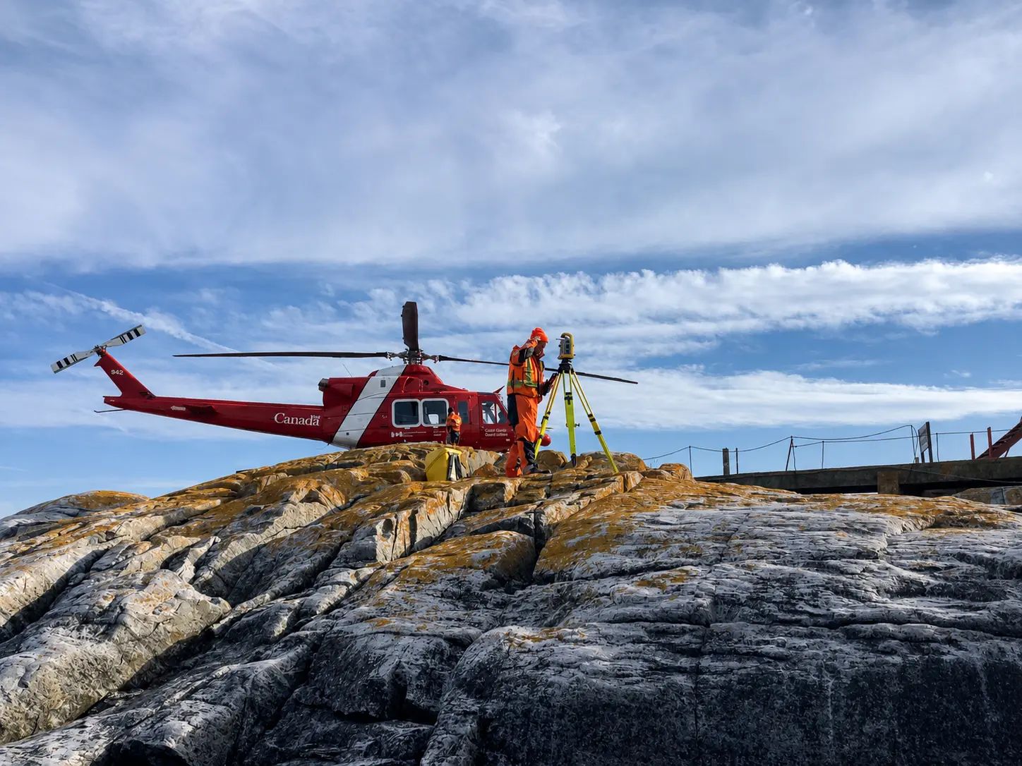
TULLOCH’s surveyors interpret boundary evidence, establish property limits, resolve land questions, and obtain the information needed to advance property, development, and infrastructure work. From residential properties to complex large-scale projects, we help clients navigate survey requirements and identify the right path forward.
Why Work With TULLOCH?
Confidence in Every Property Decision

Licensed Professionals
Ontario, Alberta, and Canada Lands Surveyors bring the appropriate licensure and jurisdictional knowledge to meet legal survey requirements.

Certified Survey Records
Professional survey documentation provides authoritative information for property transactions, registrations, and development applications.

Rapid Mobilization
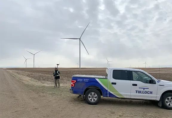
Regional crews, coordinated logistics, and a versatile fleet enable us to respond efficiently across remote and urban environments.
Residential Land Surveying
Property Owners and Realtors
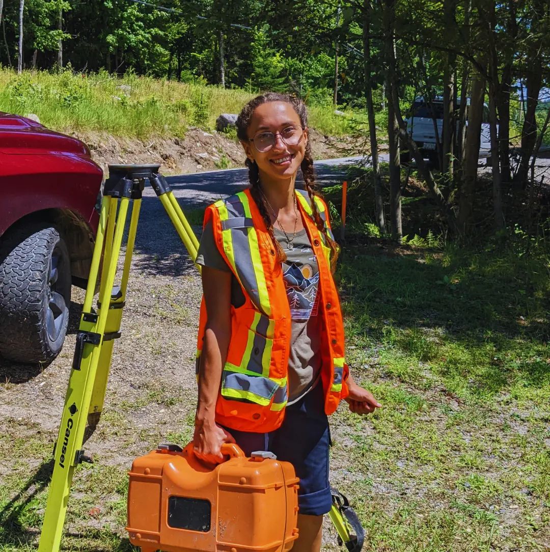
Whether you are buying, selling, or building, a clear understanding of property information matters.
Our Residential Surveying Services Brochure outlines the different types of residential surveys and when you may need one.
Have a property question or need a survey?
What We Offer
Service Areas
- Cadastral surveys and legal property surveys
- Boundary surveys and retracements
- Reference plans for easements, rights-of-way, expropriation, and road openings or closings
- First Nation and Canada Lands surveys
- Crown land surveys
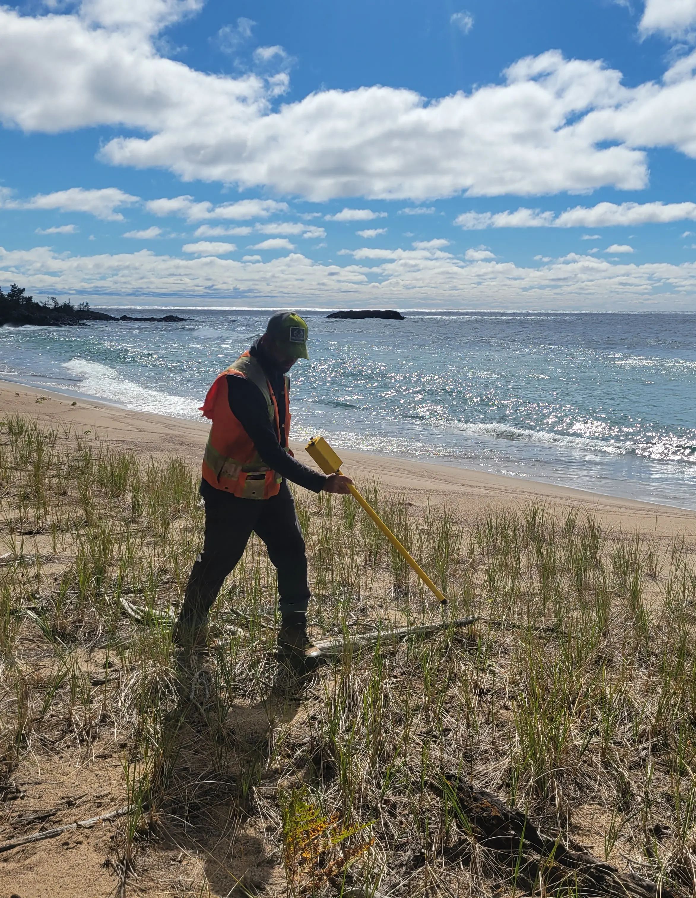
- Waterfront, shoreline, and shore road allowance surveys
- Lot line adjustments and title corrections
- Topographic surveys and base plans
- Subdivision surveys, including draft plans, plans of subdivision, and lot staking
- Condominium plans
- Consent and severance surveys
- Site plan, lot grading, and drainage base surveys
- Survey sketches for planning, approvals, and development review
- Surveyor’s Real Property Reports
- Building location and encroachment surveys
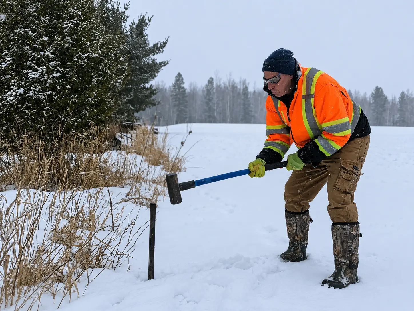
- Boundary markouts for fences, additions, site improvements, and disputes
- Title searching and records retrieval
- Expert opinion support for disputes, mediation, and litigation
- Right-of-way and easement surveys
- Transportation and municipal corridor legal surveys
- Utility and transmission corridor legal surveys
- Parcel fabric updates and land registry submissions
- Legal survey support for staging, access, and property requirements
- Foundation verification tied to setbacks, property limits, and permit requirements
- As-built surveys supporting legal records, registrations, and municipal submissions
- Boundary and easement verification where construction affects property interests
- Survey work supporting subdivision registration and development conditions
- Property-related field checks where legal limits must be confirmed during construction
Process and Methodologies
How We Execute Your Survey
Consultation and Scope
Confirm goals, property details, constraints, timelines, required plans, and approval or construction needs.
Records and Title Review
Review title, survey records, plans, and regulations to understand boundaries, rights, and site history.
Field Survey
Collect site measurements using GNSS, total station, LiDAR, UAV, or conventional methods based on site conditions.
Calculations and Drafting
Process measurements, resolve evidence, complete calculations, and prepare plans, sketches, or digital deliverables.
Review and Verification
Complete quality checks, professional review, and compliance verification before documents are finalized.
Delivery and Support
Provide final plans and remain available for questions from clients, designers, regulators, or project teams.
Solutions in Action
Relevant Experience
Featured Projects
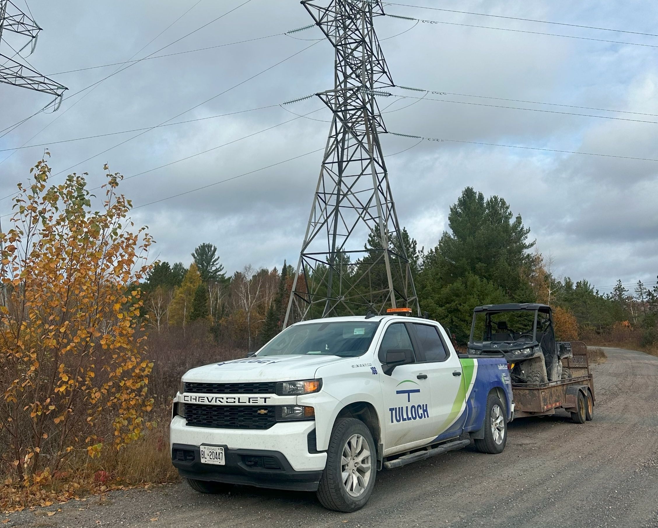
Northeast Power Line
TULLOCH provided surveying, LiDAR mapping, and geotechnical engineering across the 205 km Northeast Power Line corridor to support Hydro One’s transmission design.
Additional Resources
Residential Land Surveying Services Brochure
Get Land Surveying Support
Legal surveying is available throughout Ontario, Alberta, and on Canada Lands, with broader geomatics capabilities extending across North America.
Get Answers
Land Surveying FAQs
Request a land survey before buying, selling, building, subdividing, installing major site improvements, or resolving a boundary concern. Early survey work can help identify property limits, easements, encroachments, and approval needs before decisions are made.
Helpful information includes the property address, legal description, reason for the survey, available deeds or previous plans, and any deadlines tied to a purchase, permit, approval, or construction schedule. If you do not have everything, our team can help confirm what is needed.
Timelines depend on the survey type, property size, location, site access, records research, field conditions, and approval or registration requirements. We confirm expected timing once the scope and available information are reviewed.
A survey may identify encroachments, missing evidence, easements, title concerns, or differences between existing occupation and legal boundaries. When this happens, TULLOCH can explain the findings and outline practical next steps for review, design, approvals, or legal coordination.
Yes. Survey information often supports building permits, consent and severance applications, minor variances, subdivisions, site plans, easements, and right-of-way requirements. The type of plan or survey needed depends on the municipality, approval authority, and project scope.