Hazel McCallion LRT

Project Overview
Location: Mississauga, ON
Clients: Mobilinx, Metrolinx
Services: Geomatics, Geomatics Engineering, Geospatial & LiDAR
Sector: Transportation
Project Description
The Hazel McCallion LRT is an 18 km light rail project with 19 stations. TULLOCH was retained to provide engineering topographic surveys for 16 priority work zones, creating a consistent survey foundation for design and construction planning.
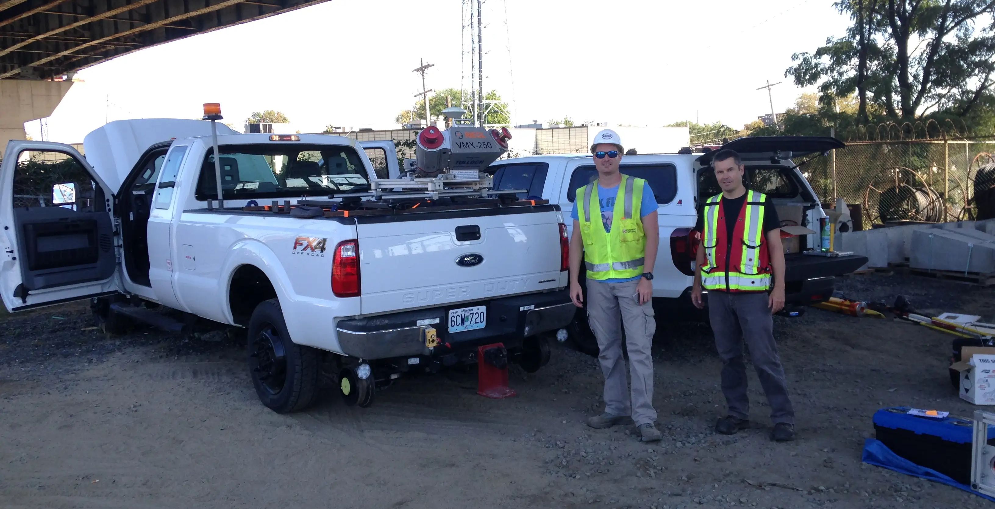
A geodetic control survey validated the project coordinate system, followed by mobile LiDAR scanning along the corridor and intersecting roads. Features were mapped to MTO standards and feature codes, and final engineering base plans were delivered with 1.5 cm absolute accuracy on hard surfaces.
Scope of Services
- Geodetic control survey to validate the Hurontario coordinate system
- Mobile LiDAR scanning of the 18 km corridor and intersecting roads
- Feature mapping to MTO standards and feature codes
- Engineering base plans in DGN format with 1.5 cm absolute accuracy on hard surfaces