Eglinton Crosstown LRT
Project Overview
Location: Toronto, ON
Clients: SNC-Lavalin and Crosslinx Transit Solutions
Services: Geomatics, Land Surveying, Geomatics Engineering, Geospatial & LiDAR
Sector: Transportation
Project Description
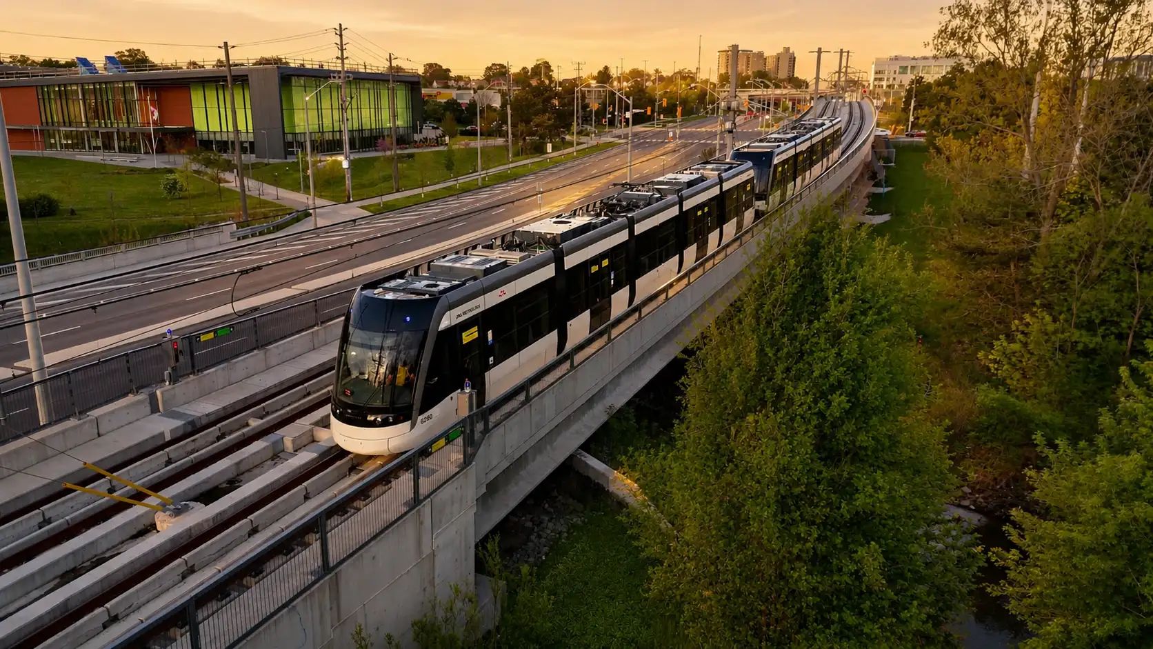
Toronto’s Eglinton Crosstown LRT is a 19 km east-west transit line with 25 stations and stops, connecting communities along a major corridor across the city. Surveying along a busy urban corridor required a mix of mobile and conventional methods to capture design information while reducing field exposure and disruption.
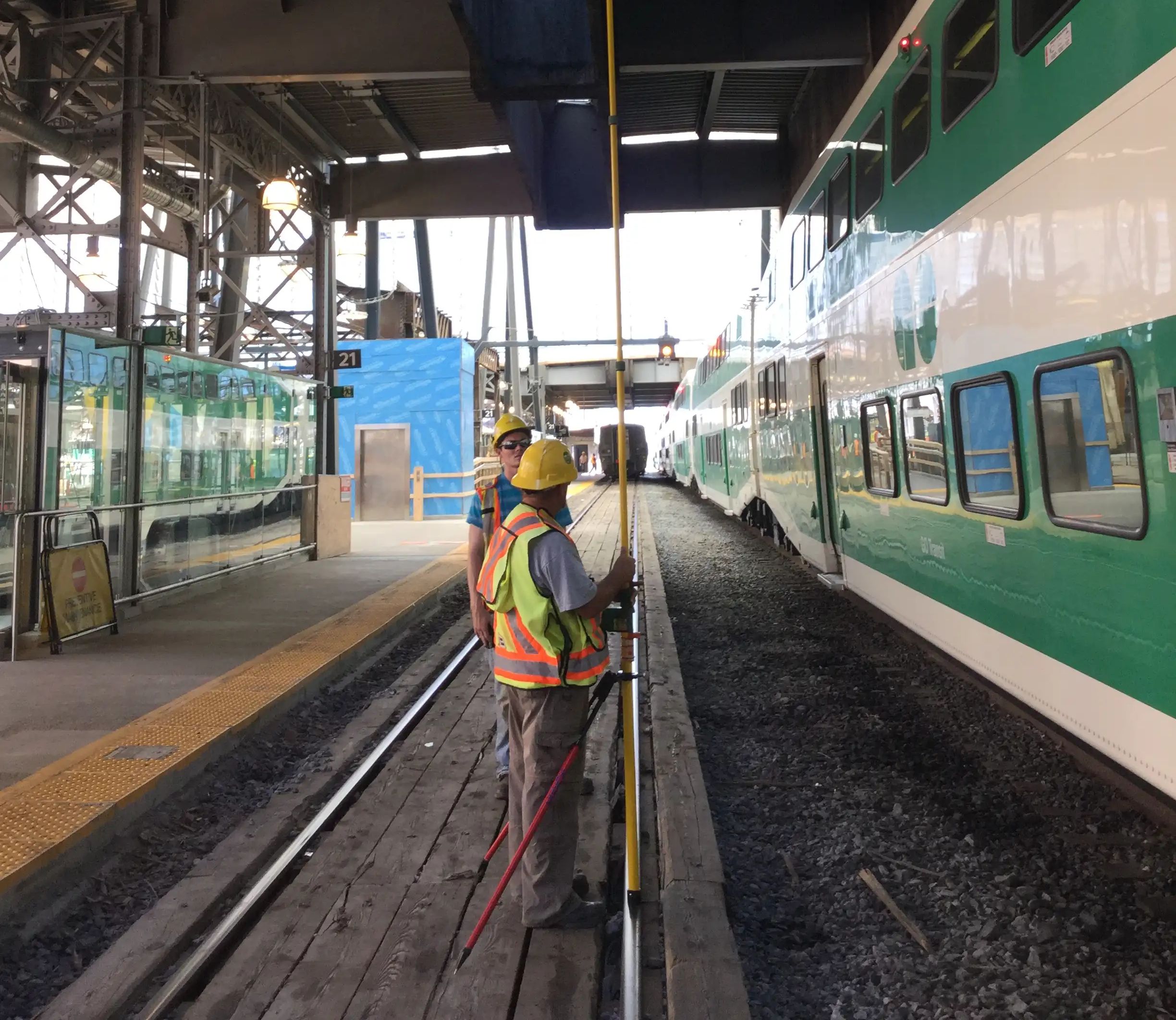
TULLOCH used mobile LiDAR, conventional GPS and total station surveys, photogrammetric mapping, static scanning, and RTK GPS across multiple project areas. The assignment also included legal boundary surveys and CAD/BIM modelling to support 3D design.
Scope of Services
- Engineering surveys along approximately 25 km of Eglinton Avenue
- Mobile LiDAR supplemented by conventional GPS, total station surveys, and photogrammetric mapping
- Static LiDAR scanning of the Kodak building
- RTK GPS surveys for the Eglinton Maintenance and Storage Facility
- Legal boundary surveys for the proposed Keele Station
- CAD and BIM modelling to support 3D design