GO Expansion On-Corridor Works
Project Overview
Location: Toronto, ON
Clients: Gannett Fleming, Metrolinx
Discipline: Geomatics, Land Surveying, Geomatics Engineering, Geospatial and LiDAR, Geotechnical Engineering
Markets: Transportation
Completed: 2022
Project Description
The GO Expansion program is transforming the Greater Toronto and Hamilton Area’s regional rail network through expanded service, improved connectivity, and the conversion of key rail corridors from diesel to electric power. As part of this multi-billion-dollar capital program, Metrolinx required accurate, current corridor data to support preliminary engineering design and future electrification work.
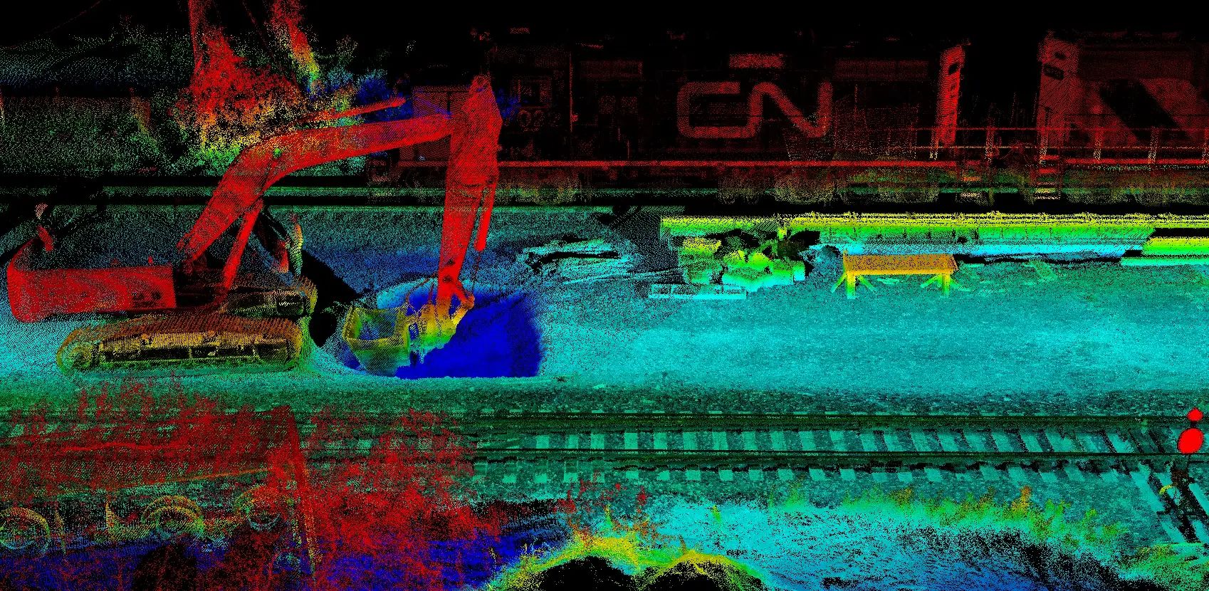
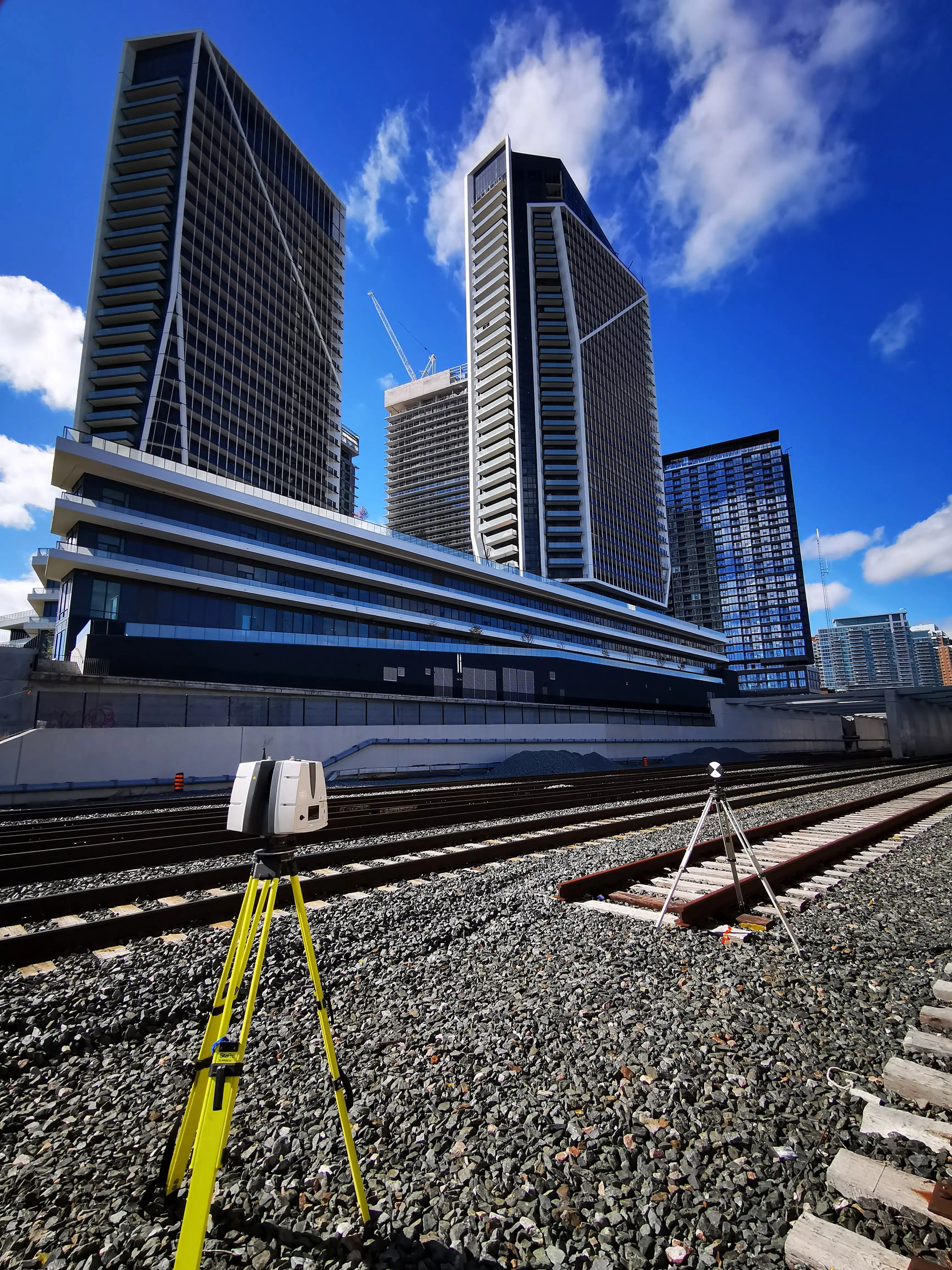
TULLOCH provided engineering surveys across six GO Transit commuter rail corridors, totaling more than 400 km of railway corridor. This included approximately 265 km extending from the Union Station Rail Corridor in downtown Toronto. To meet the scale, schedule, and safety requirements of the assignment, TULLOCH used a hybrid surveying approach that combined mobile LiDAR, static LiDAR, and conventional ground surveys.
Our team mounted a mobile LiDAR system to a hi-rail vehicle, allowing data to be collected efficiently within the rail corridor while reducing the need for extended ground crew access. This approach allowed visible corridor features to be captured quickly, including trackside infrastructure, terrain, structures, utilities, and related features. Conventional surveys were then used to fill in missing or obstructed features outside the LiDAR system’s field of view.
This workflow reduced delivery timelines, limited track disruptions, and improved safety for field crews working in an active rail environment. Base mapping was completed in approximately 60% of the time normally required for conventional engineering surveys. The resulting point cloud, combined with ground survey in-fill data, created a rich and consistent dataset that could support multiple stages of engineering design.
TULLOCH also provided geotechnical consulting for proposed Horizontal Directional Drilling work related to the installation of power cable conduits for train electrification. This included site investigations and design recommendations to support constructability, risk management, and future infrastructure planning.
Scope of Services
- Engineering surveys for preliminary engineering design
- Mobile LiDAR surveys mounted on a hi-rail vehicle
- Static LiDAR surveys
- Conventional ground surveys to capture obscured or missing features
- Hybrid survey methodology for active rail corridors
- Corridor base mapping and point cloud data processing
- Legal and engineering survey support
- Geotechnical site investigations
- Design recommendations for Horizontal Directional Drilling
- Support for electrification-related power conduit installation