City of Calgary LRT Inspection - OCS
Project Overview
Location: Calgary, AB
Client: Mott MacDonald
Services: Geomatics, Geomatics Engineering, Geospatial & LiDAR
Sector: Transportation
Project Description
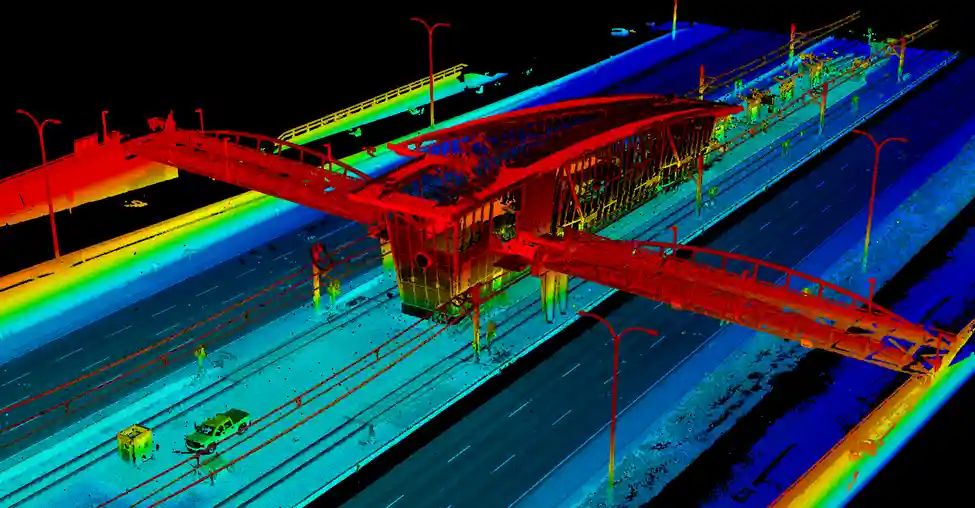
The City of Calgary sought detailed information about its Red Line LRT Overhead Catenary System to improve transit reliability and support proactive maintenance. Mott MacDonald retained TULLOCH to use mobile LiDAR to map approximately 10 km of the OCS corridor at engineering-grade accuracy.
TULLOCH established high-accuracy geodetic control, collected calibrated point-cloud and 360-degree imagery from a hi-rail vehicle, and extracted OCS, rail-top, and centreline information to centimetre-level precision. The data supported geometry analysis while limiting service disruptions and improving field safety.
Scope of Services
- High-accuracy geodetic control using static GNSS and spirit levelling
- Registration points established at approximately 200 m spacing
- Hi-rail mobile LiDAR and 360-degree imagery collection
- Extraction of OCS, rail tops, and rail centreline to centimetre-level precision
- Engineering-grade capture of hard surfaces, ballast, structures, barriers, and stations