Highway 401 Expansion

Project Overview
Location: Tilbury to London, ON
Client: Stantec
Services: Geomatics, Geomatics Engineering, Geospatial & LiDAR
Sector: Transportation
Project Description
The Ontario Ministry of Transportation initiated a multi-year program to widen approximately 116 km of Highway 401 between Tilbury and London and advance interchange, structure, and safety improvements along the corridor.
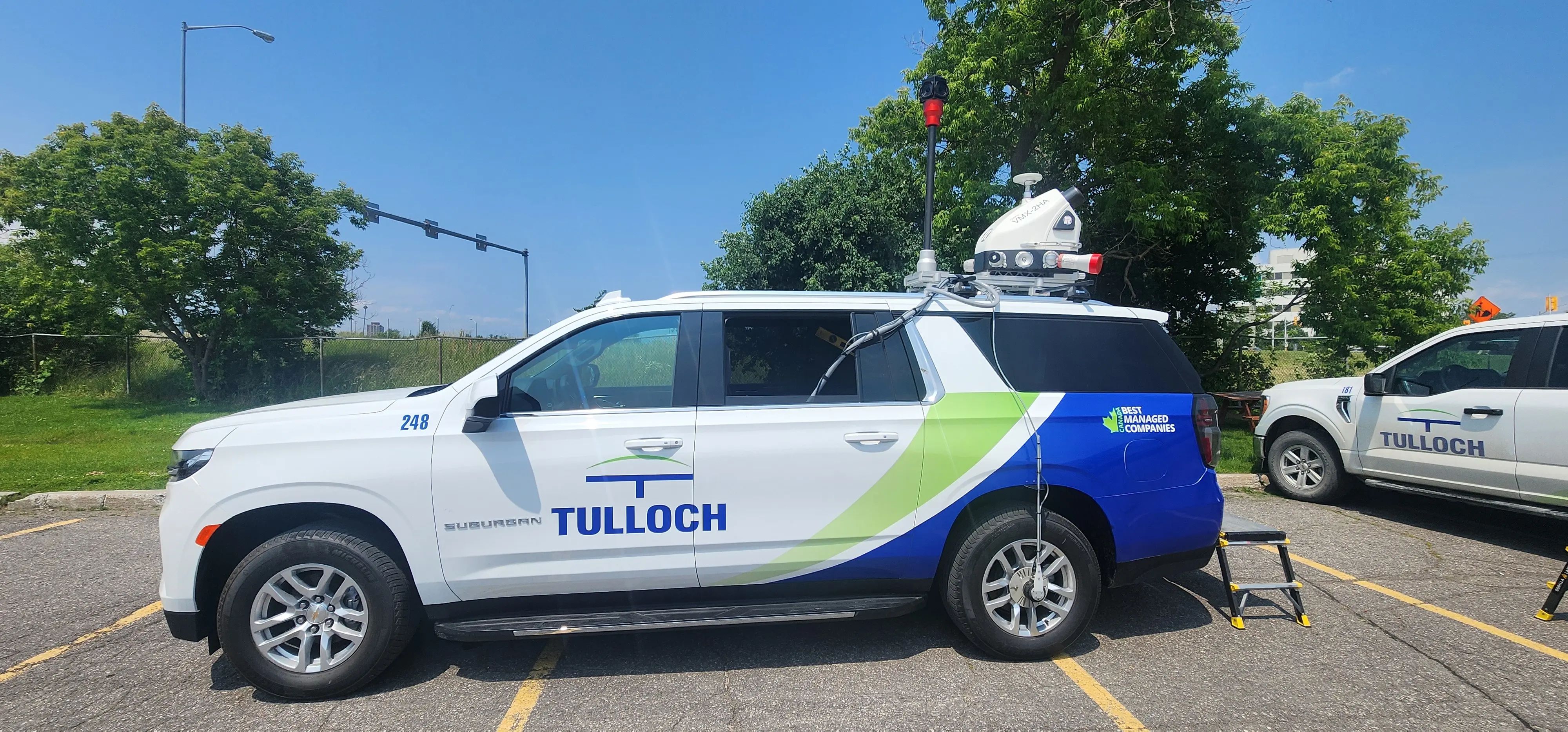
Stantec retained TULLOCH as Engineering Survey Lead to establish the survey framework and existing-condition information required for preliminary and detailed design. The assignment combined conventional field surveying with mobile LiDAR and photogrammetric data to efficiently document a long, active highway corridor.
Scope of Services
- Verification of existing project control and establishment of additional control
- Alignment calculations, staking, and horizontal and vertical control sheets
- Right-of-way limit calculations
- Pre-engineering surveys of existing corridor conditions
- Mobile LiDAR surveys of hard surfaces
- Integration of ground survey, photogrammetric, and mobile LiDAR data
- Civil 3D base plans and profiles in ETR plate format