Highway 400 and Dunlop Street Interchange
Project Overview
Location: Barrie, ON
Client: McIntosh Perry
Services: Geomatics, Geomatics Engineering, Geospatial & LiDAR
Sector: Transportation
Project Description
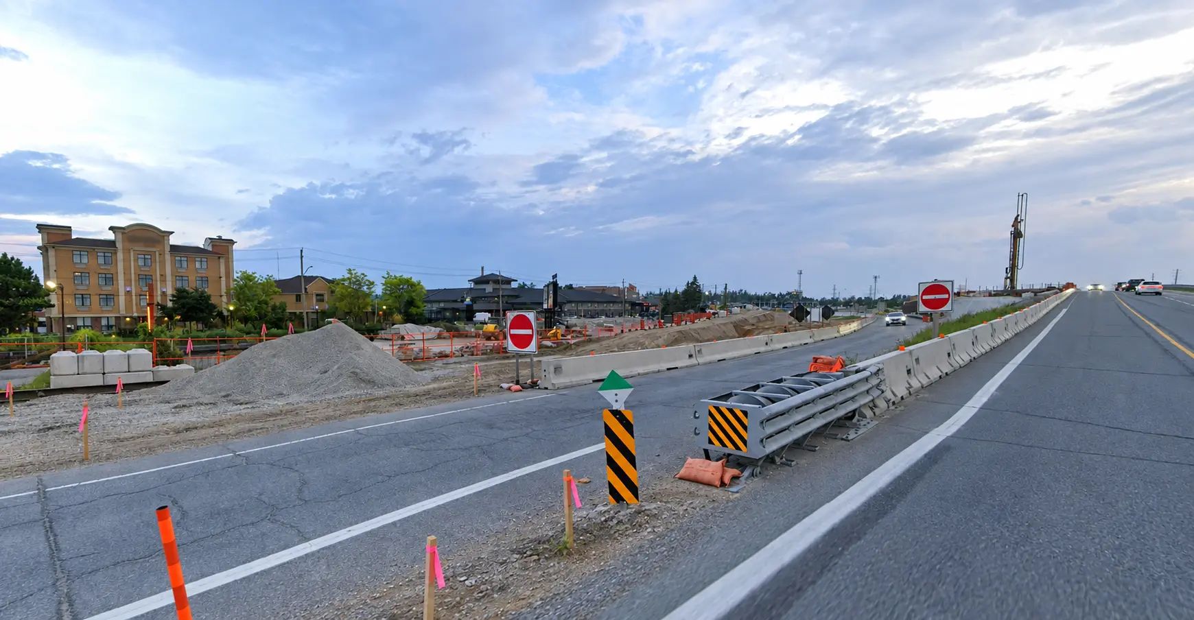
The Highway 400 and Dunlop Street project involved detailed design for reconstruction of the Dunlop Street interchange in Barrie, along with replacement of underpass structures at Dunlop Street, Anne Street, and Sunnidale Road.
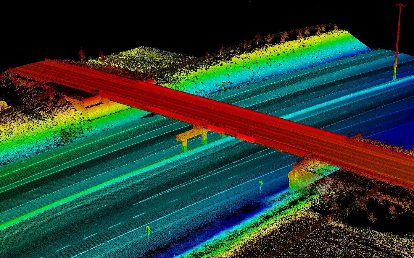
McIntosh Perry retained TULLOCH as Engineering Survey Lead to establish reliable existing-condition and control information for the design team. TULLOCH combined mobile LiDAR with conventional ground surveying to efficiently document the active highway corridor and interchange areas.
Scope of Services
- Verification of existing survey control and establishment of additional project control monuments
- Engineering surveys using mobile LiDAR and conventional ground surveys
- Topographic data collection within highway right-of-way limits
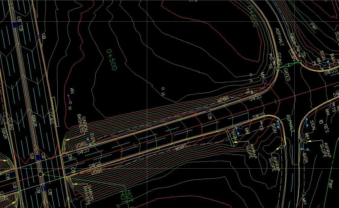
- Alignment calculations and preparation of horizontal and vertical control sheets
- Right-of-way limit calculations and compilation
- Integration of ground, photogrammetric, and mobile LiDAR data
- Civil 3D base plans and profiles