Niagara Intersection Improvements
Project Overview
Location: Niagara, ON
Client: GHD
Services: Geomatics, Geomatics Engineering
Sector: Municipal
Project Description
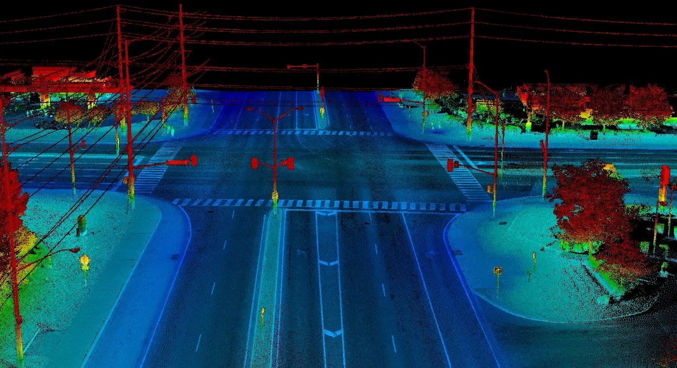
The Ontario Ministry of Transportation advanced preliminary and detailed design for improvements at six intersections across Niagara Region. The assignments required consistent survey control and existing-condition information across multiple geographically separated sites.
GHD retained TULLOCH as Engineering Survey Lead to support the design program. TULLOCH developed coordinated survey and digital terrain information for each location, giving the design team a consistent base for roadway and intersection improvements.
Scope of Services
- Control and engineering surveys for preliminary and detailed design
- Alignment calculations and staking
- Preparation of horizontal and vertical control sheets
- Right-of-way limit calculations and compilation
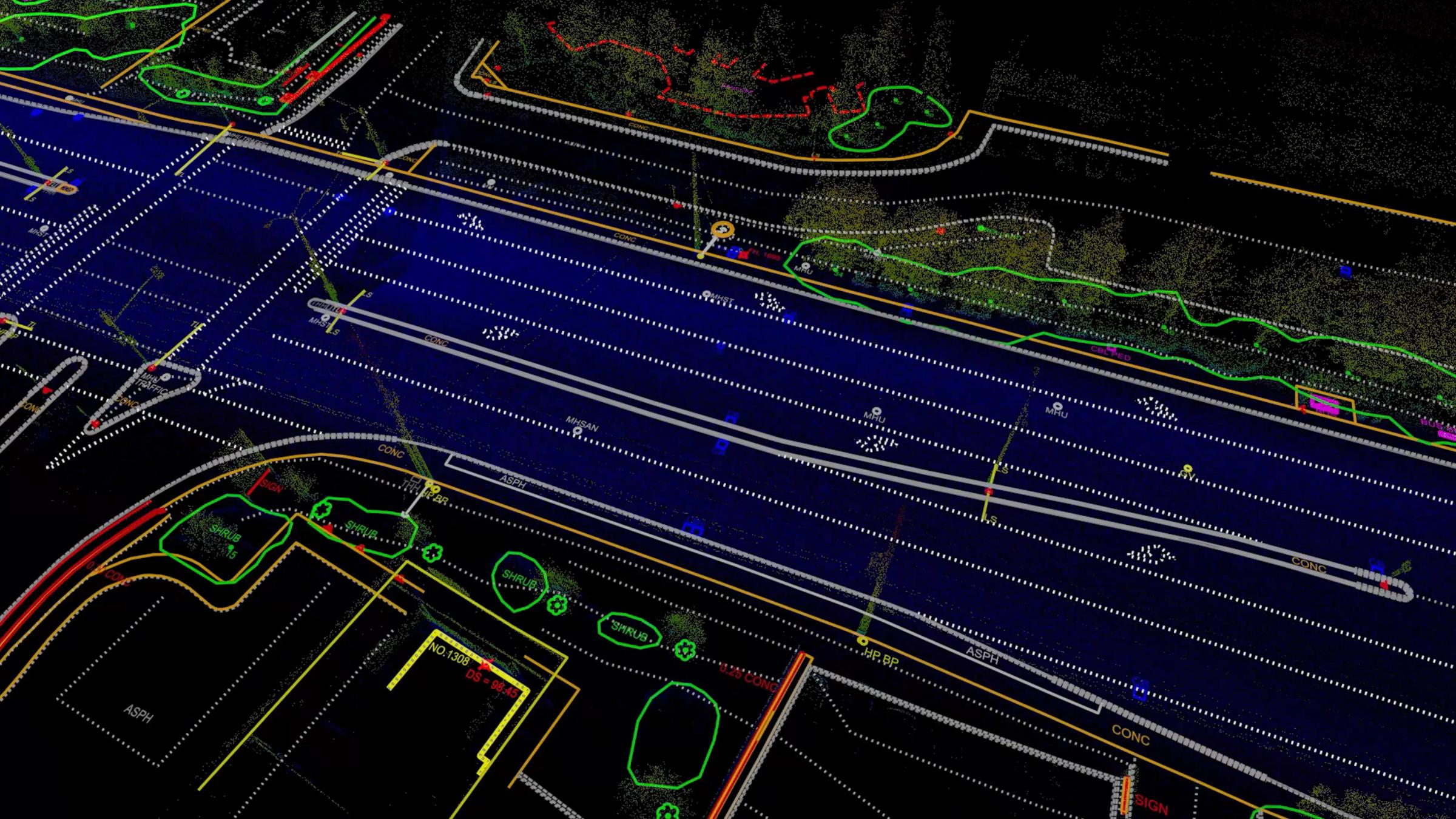
- Integration of photogrammetric and ground survey information
- Civil 3D base plans and profiles
- Digital terrain model deliverables
Solutions in Action
Related Survey Projects
Featured Projects
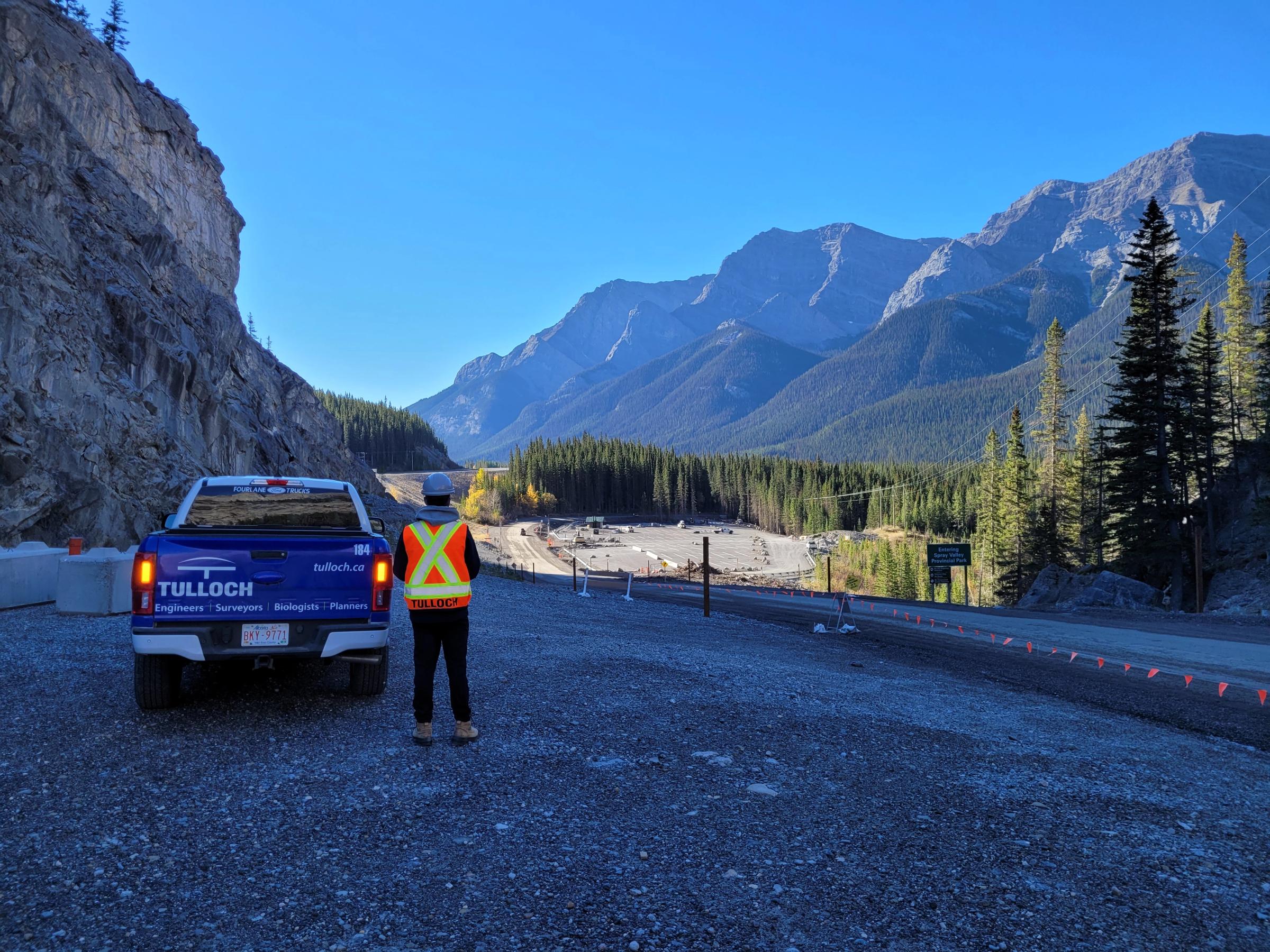
Grassi Lakes and Goat Creek Parking Lot
TULLOCH was a geomatics sub-consultant to Sweet Tech Engineering for improvements to the Grassi Lakes and Goat Creek parking lot.


Discuss Your Surveying Project
Planning a surveying project? Contact our Toronto team to discuss your site, technical requirements and next steps.