Wayne Junction Interlocking Rail Substation
Project Overview
Location: Philadelphia, PA
Client: Gannett Fleming for SEPTA
Services: Geomatics, Geomatics Engineering, Geospatial & LiDAR
Sector: Transportation
Project Description
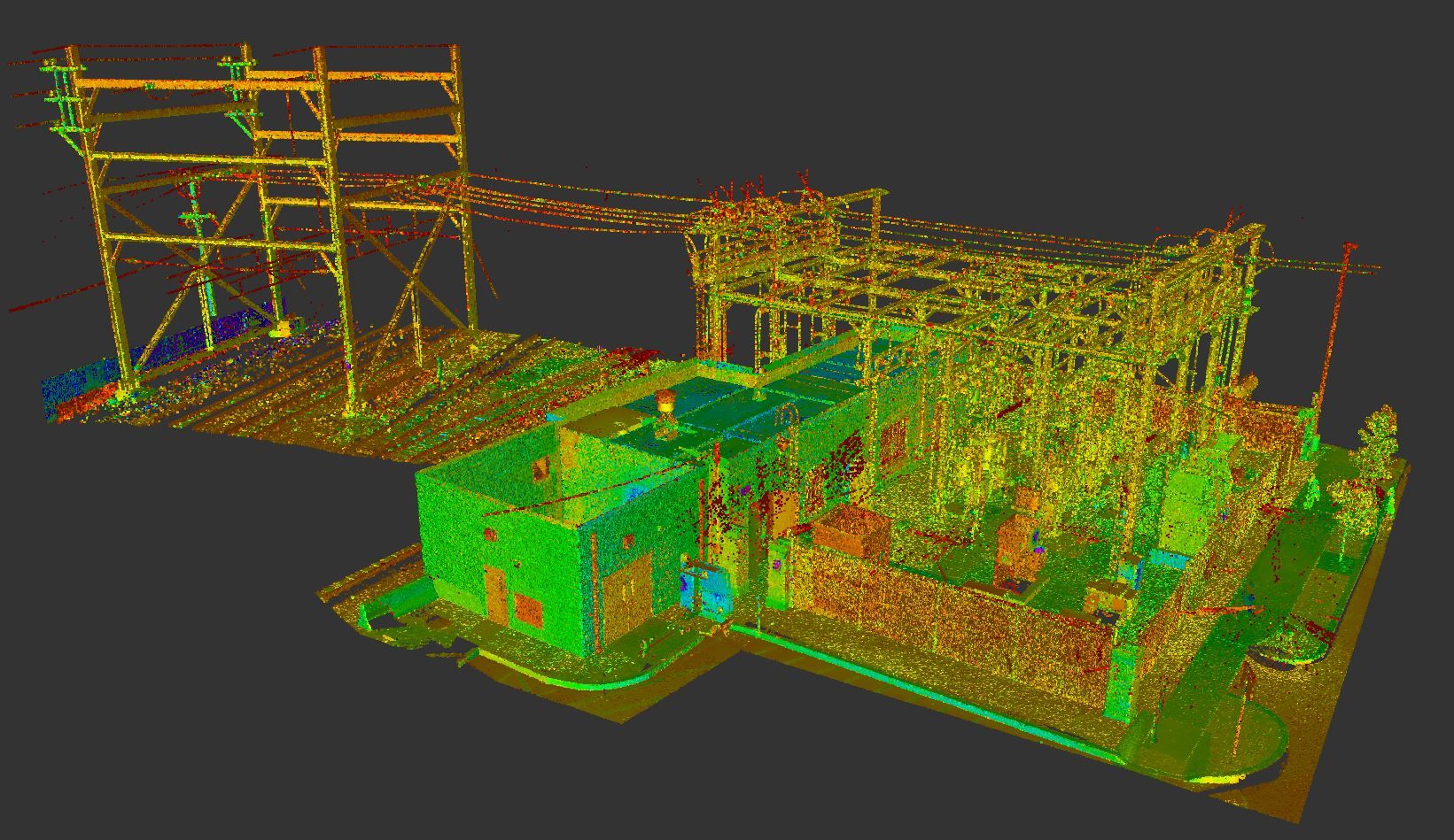
SEPTA required engineering base mapping to support design for rebuilding the Wayne Junction Interlocking Rail Substation in Philadelphia. The survey covered approximately 0.5 miles of active regional rail corridor on the Chestnut Hill/Fox Chase Line at the Wayne Interlocking, including four main tracks between Liberty Yard and Roberts Yard.
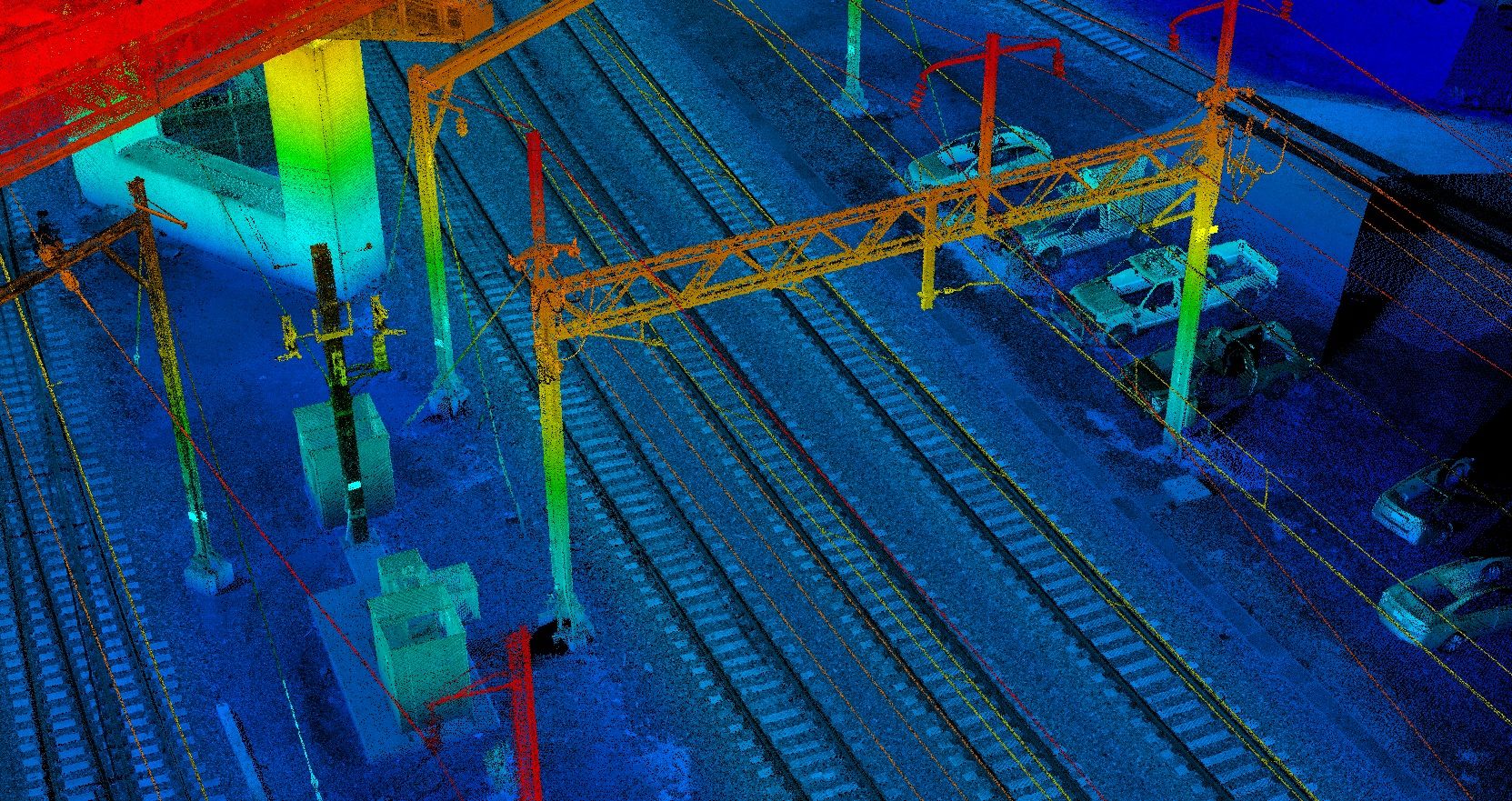
TULLOCH Mapping Ltd. completed control surveying, mobile LiDAR collection, topographic feature extraction, and 3D base mapping within a short SEPTA track-access window. High-density LiDAR provided detailed hard-surface and rail-corridor information, while surveyed control was used to validate and constrain the dataset. Final deliverables included a surface model and fully drafted AutoCAD Civil 3D base plan developed to SEPTA CAD standards.
Scope of Services
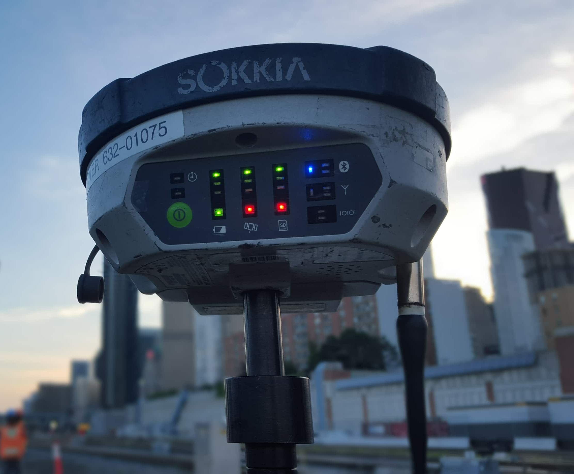
- Primary survey control established and tied to published NGS monuments through GNSS static surveying
- RTK GNSS survey of painted registration points at approximately 500 ft spacing for LiDAR validation and control
- Mobile LiDAR acquisition along approximately 0.5 miles of active SEPTA regional rail corridor
- High-density point cloud collection with hard-surface absolute accuracy better than 0.05 ft RMSE
- Topographic feature extraction and mapping to SEPTA CAD standards and specifications
- Automated, semi-manual, and top-down digitizing of rail-corridor features
- Surface model and fully drafted AutoCAD Civil 3D base plan delivery