Union Station Modernization
Project Overview
Location: Toronto, ON
Client: Metrolinx
Services: Geomatics, Geomatics Engineering, Geospatial & LiDAR
Sector: Transportation
Project Description
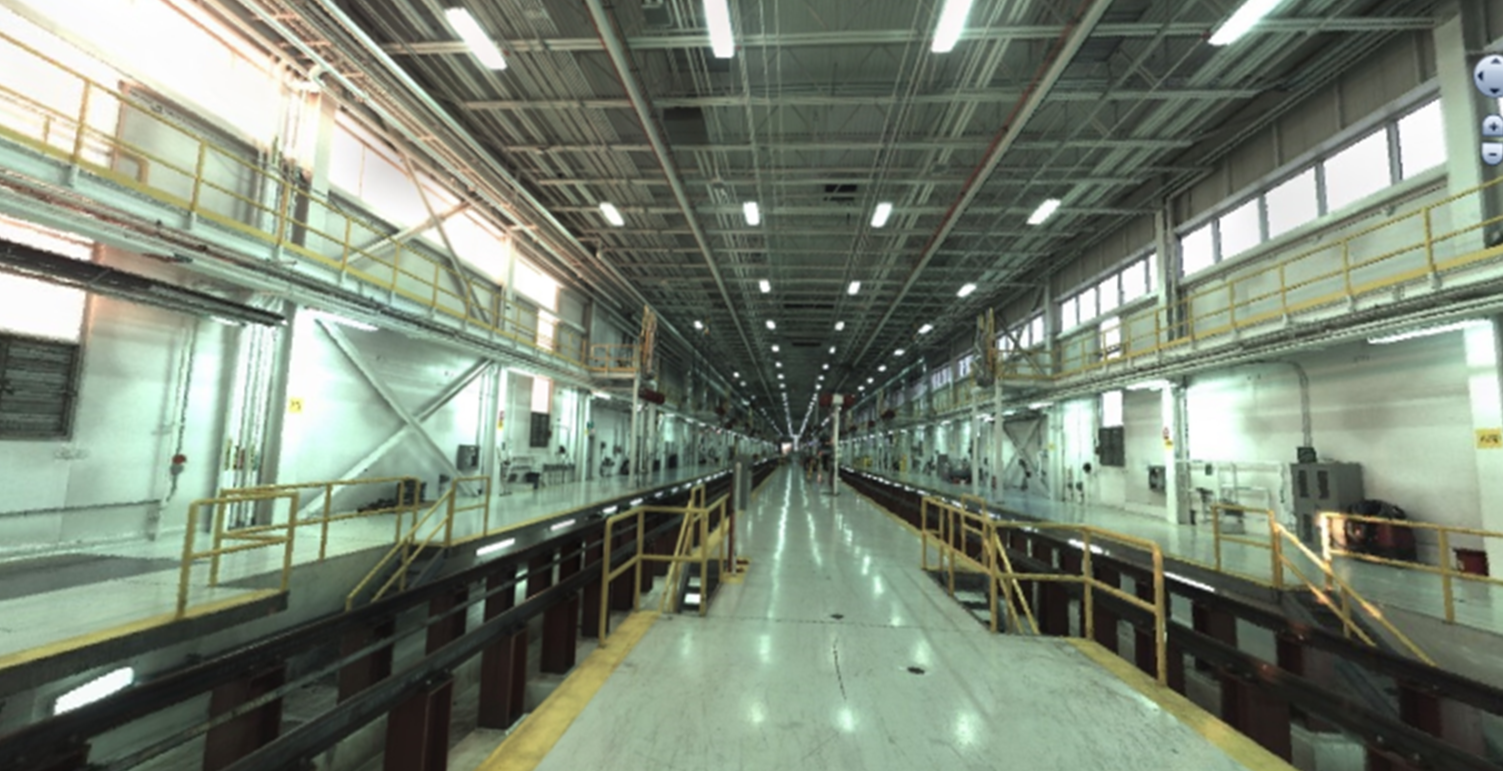
Union Station is a major transportation gateway for the Greater Toronto Area and has undergone significant modernization to improve capacity, operations, and passenger service. Survey work within the active rail corridor required accurate data collection while limiting disruptions to ongoing train operations.
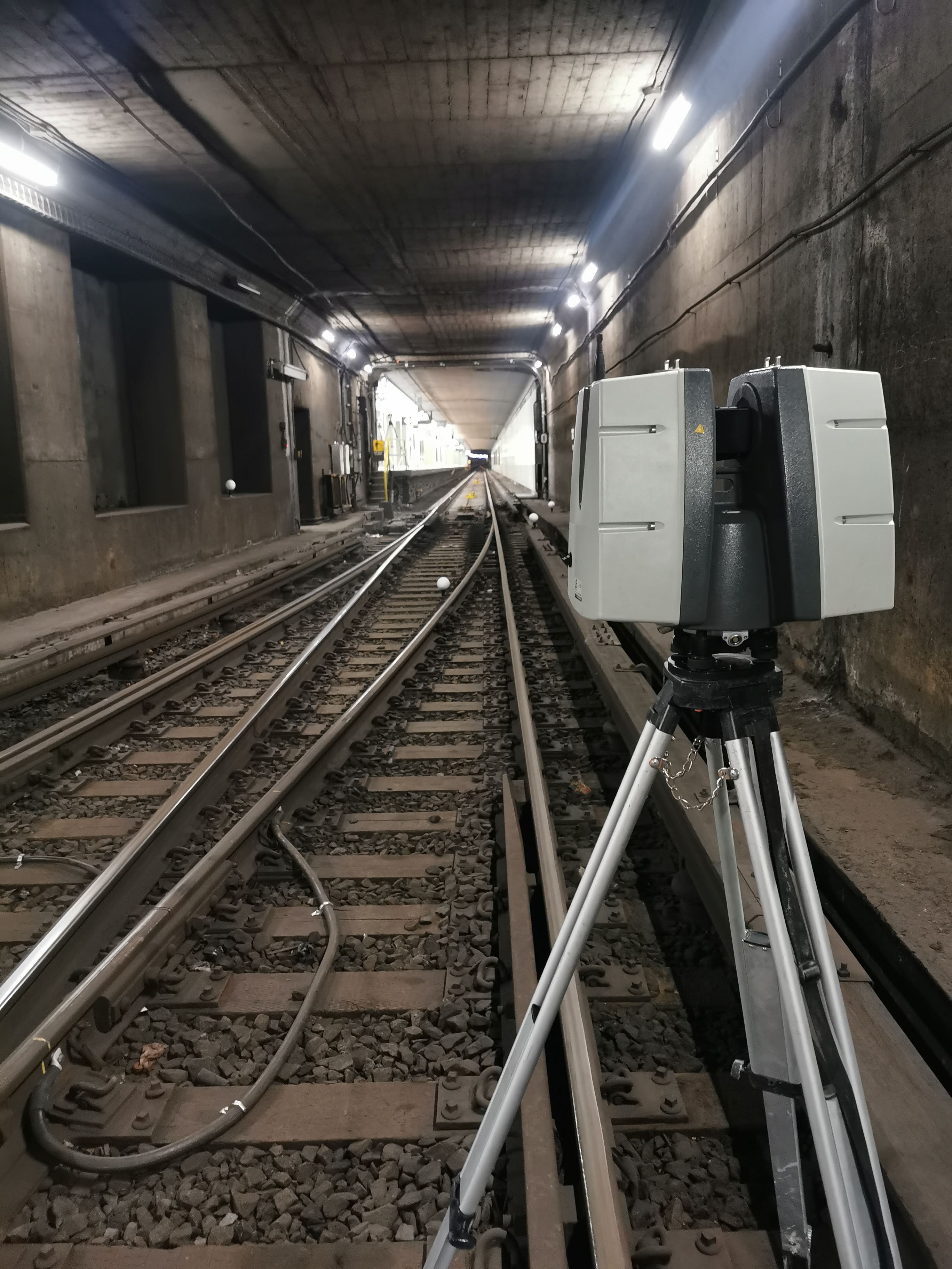
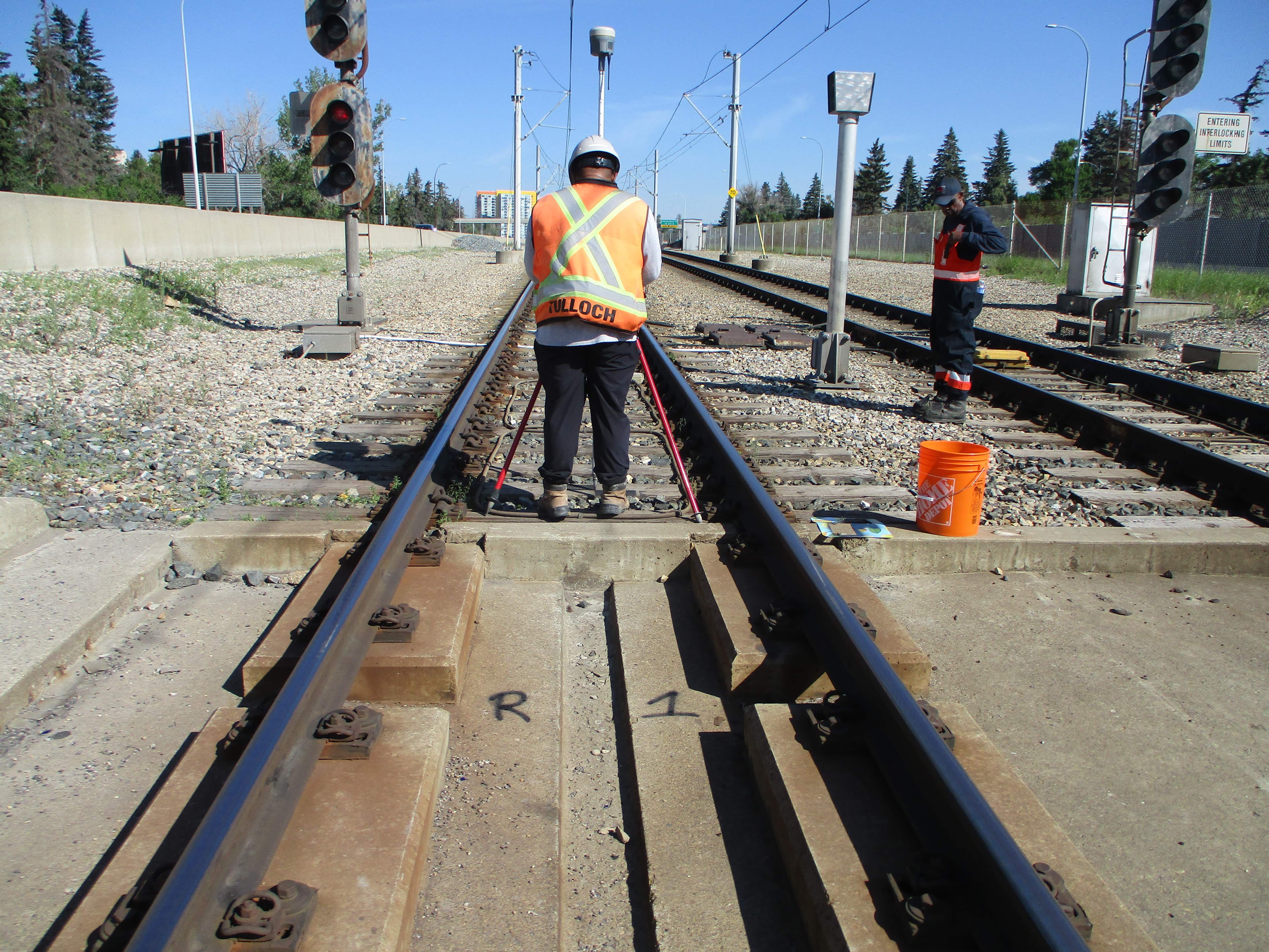
TULLOCH established high-accuracy geodetic control and used mobile LiDAR from a hi-rail vehicle to capture Union Station's rail system, including 14 rail lines, approximately 60 km of rail, and overhead obstructions. The resulting base mapping, clearance information, and utility asset sketches supported design and coordination while reducing the need for prolonged track access.
Scope of Services
- High-accuracy geodetic control throughout the rail corridor
- Mobile LiDAR survey of 14 rail lines covering approximately 60 km of rail and overhead obstructions
- Detailed base mapping with 2.5 cm accuracy on hard-surface features
- Horizontal and vertical clearance mapping
- Utility asset sketches along rail corridors