Staten Island Survey
Project Overview
Location: Arrochar, Staten Island, NY
Client: ATAN
Services: Geomatics, Geomatics Engineering, Geospatial & LiDAR
Sector: Transportation
Completed: 2012
Project Description
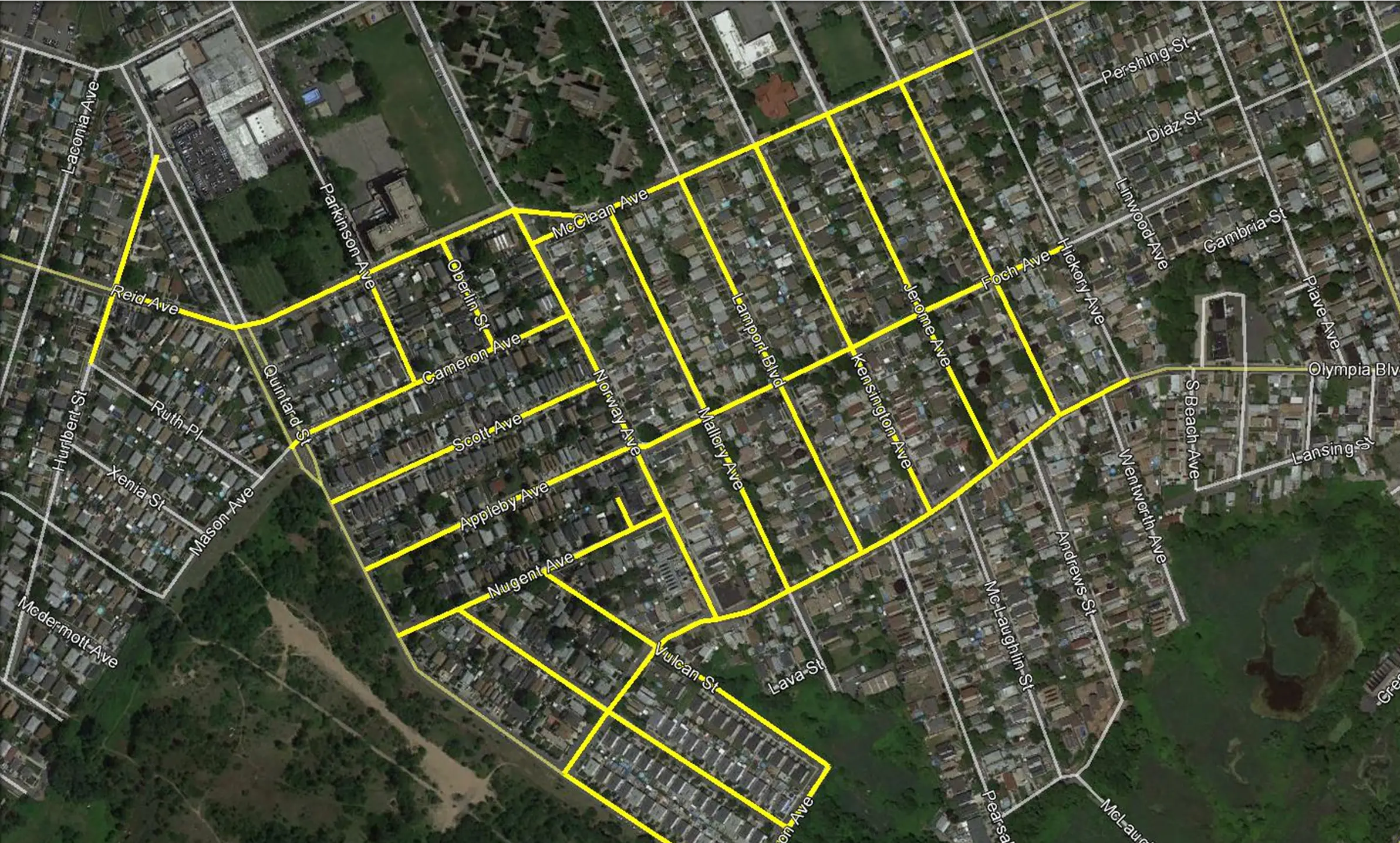
Following Hurricane Sandy, engineering surveys were required to support recovery planning for a low-lying residential area in Arrochar, Staten Island. The assignment covered approximately 18 local roads within an area affected by the October 2012 storm.
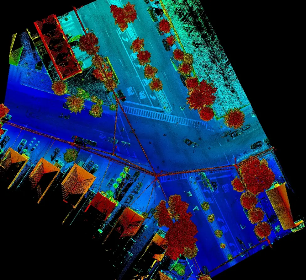
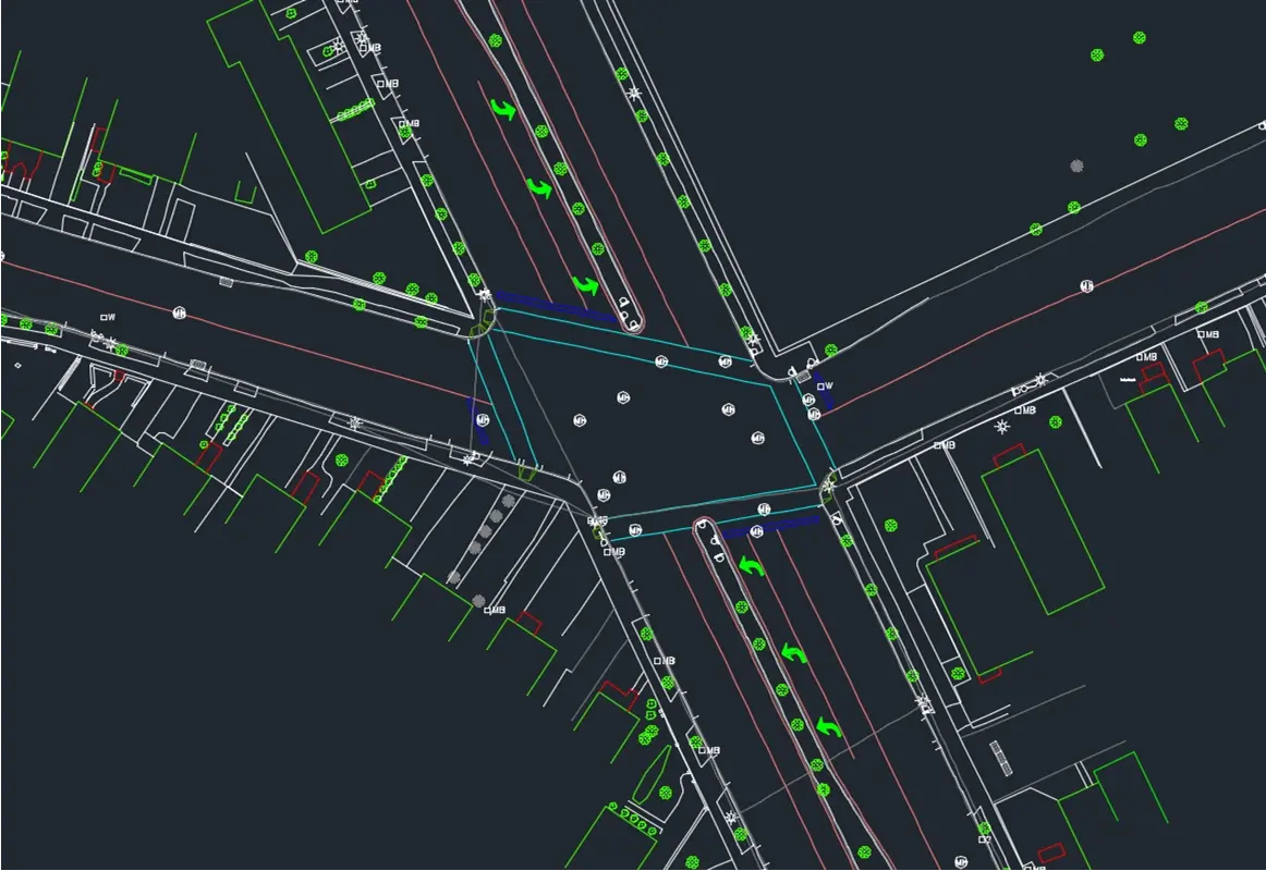
TULLOCH collected mobile LiDAR and video for all 18 roads in a single day, substantially reducing field time compared with conventional ground surveying alone. Where line-of-sight limitations created gaps in the mobile dataset, conventional survey information supplied by the client was integrated with the LiDAR-derived features to produce the final engineering survey plans in accordance with New York City mapping standards.
Scope of Services
- Mobile LiDAR and roadway video collection across approximately 18 roads
- Digital terrain model and street-corridor asset extraction from the LiDAR point cloud
- Feature-code identification using synchronized video data
- Mapping completed to New York City standards
- Integration of LiDAR-derived features with conventional field survey data
- Final conventional AutoCAD engineering survey plan development