Johnson Avenue Mobile Survey
Project Overview
Location: Ronkonkoma, NY
Client: ATAN
Services: Geomatics, Geomatics Engineering, Geospatial & LiDAR
Sector: Transportation
Completed: 2014
Project Description
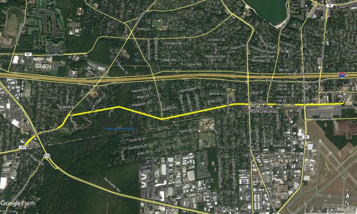
Johnson Avenue in Ronkonkoma, New York, required engineering-grade base mapping to support the design of proposed sanitary pumping stations and force mains. The survey corridor covered approximately 4.3 miles of roadway between Mill Road and Railway Avenue and East Suffolk Avenue at Sycamore Avenue.
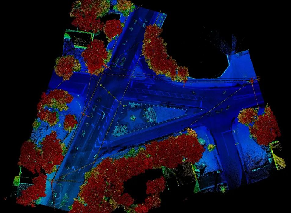
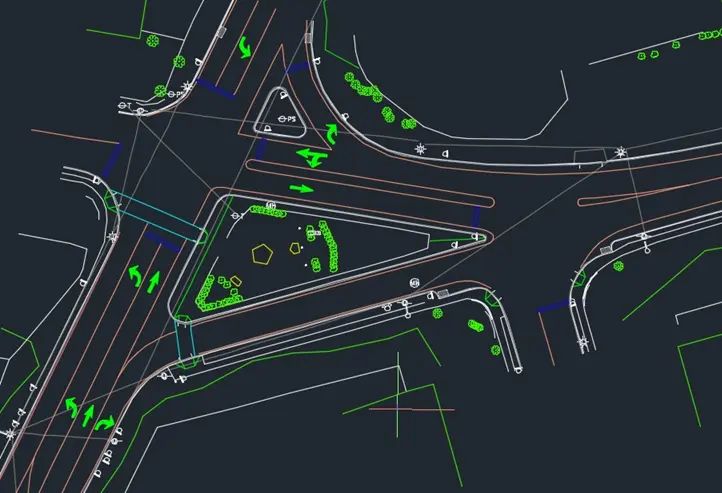
TULLOCH was subcontracted to collect mobile LiDAR and video along the corridor. The dataset captured roadway pavement, sidewalks, curbs, aprons, driveways, private walks, hydrants, trees, utility features, drainage structures, manhole covers, and valve boxes. The information supported digital terrain model development, cross-sections, breaklines, and an AutoCAD Civil 3D engineering base map for subsequent design.
Scope of Services
- High-accuracy survey registration points to control the mobile LiDAR dataset
- Approximately 50 registration targets established at 300 to 700 ft intervals based on overhead obstructions
- Engineering-grade mobile LiDAR and roadway video collection
- Hard-surface and infrastructure feature extraction
- Digital terrain model, cross-section, and breakline development
- AutoCAD Civil 3D base mapping with surface features, elevations, and utilities