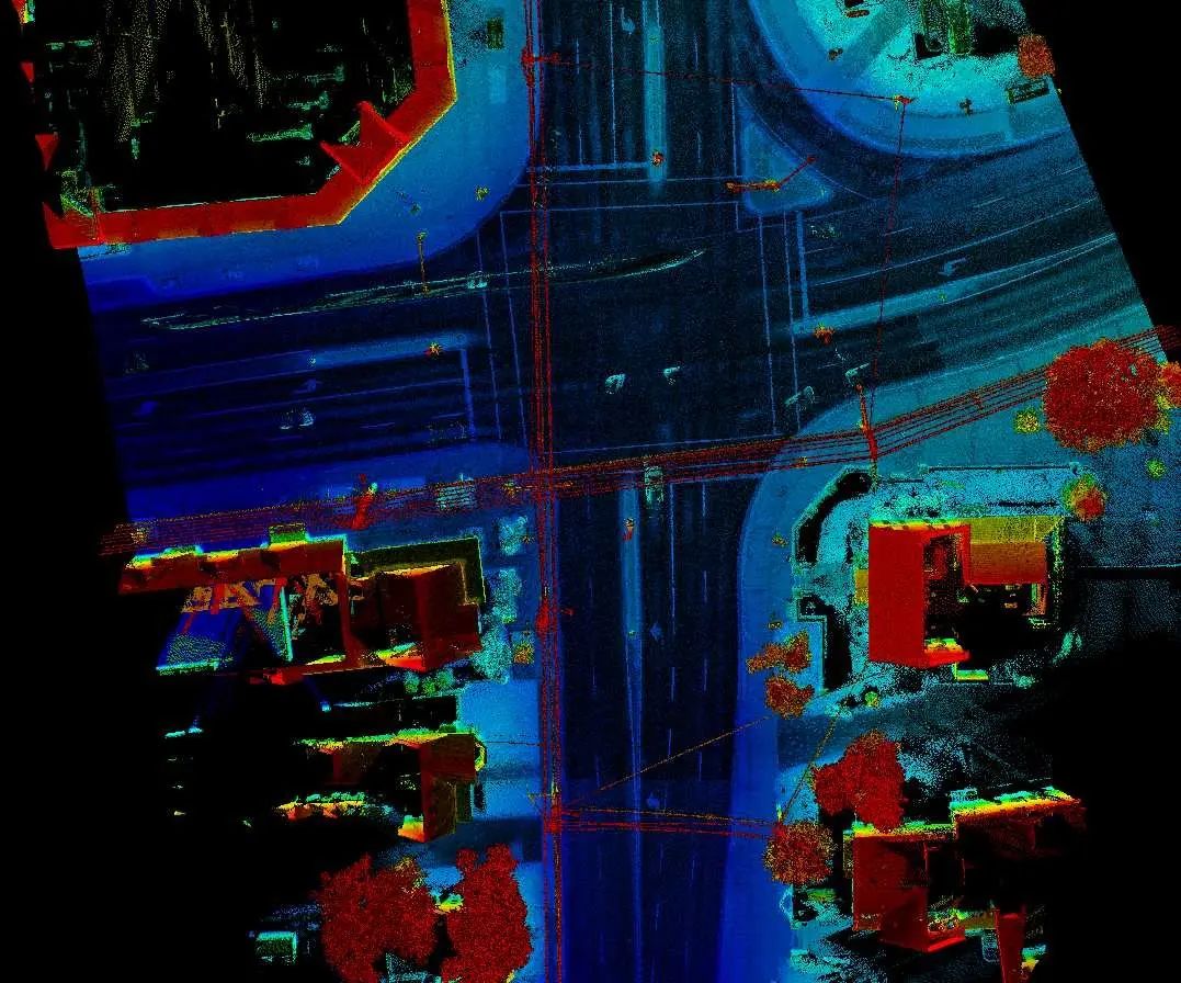
Route 30 Mobile LiDAR Survey
Project Overview
Location: Lancaster, PA
Client: ATAM
Services: Geomatics, Geomatics Engineering, Geospatial & LiDAR
Sector: Transportation
Completed: 2016
Project Description
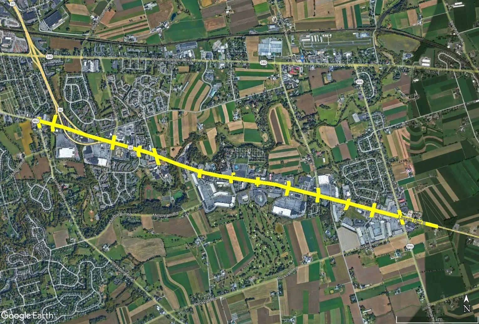
The Route 30 assignment covered approximately 3.2 miles of a busy multi-lane highway in Lancaster, Pennsylvania, including approximately 200 ft along signalized intersections. The survey was undertaken to provide existing-condition information for roadway re-engineering.
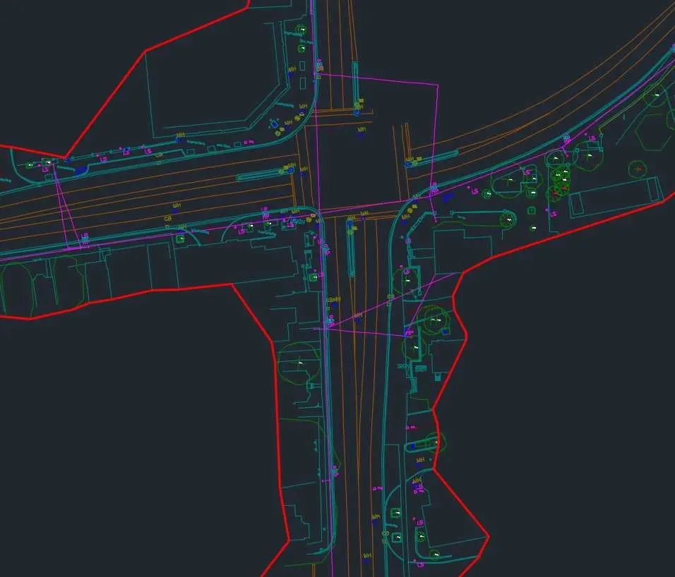
TULLOCH Mapping Ltd. collected and processed mobile LiDAR to extract hard-surface features and create a digital terrain model of the roadway. Using mobile LiDAR allowed the corridor to be captured in a matter of hours while reducing the need for conventional crews to work within active traffic lanes, supporting a safer and more efficient survey approach.
Scope of Services
- Mobile LiDAR data collection and processing along approximately 3.2 miles of Route 30
- Approximately 70 survey registration points established at roughly 800 ft intervals and along required crossing roads
- Control point validation of LiDAR accuracy and correction of vertical bias
- Hard-surface feature extraction
- Digital terrain model development for roadway re-engineering