MnDOT Highway 23 Rehabilitation
Project Overview
Location: Minnesota, MN
Client: Continental Mapping Consultants
Services: Geomatics, Geomatics Engineering, Geospatial & LiDAR
Sector: Transportation
Completed: 2016
Project Description
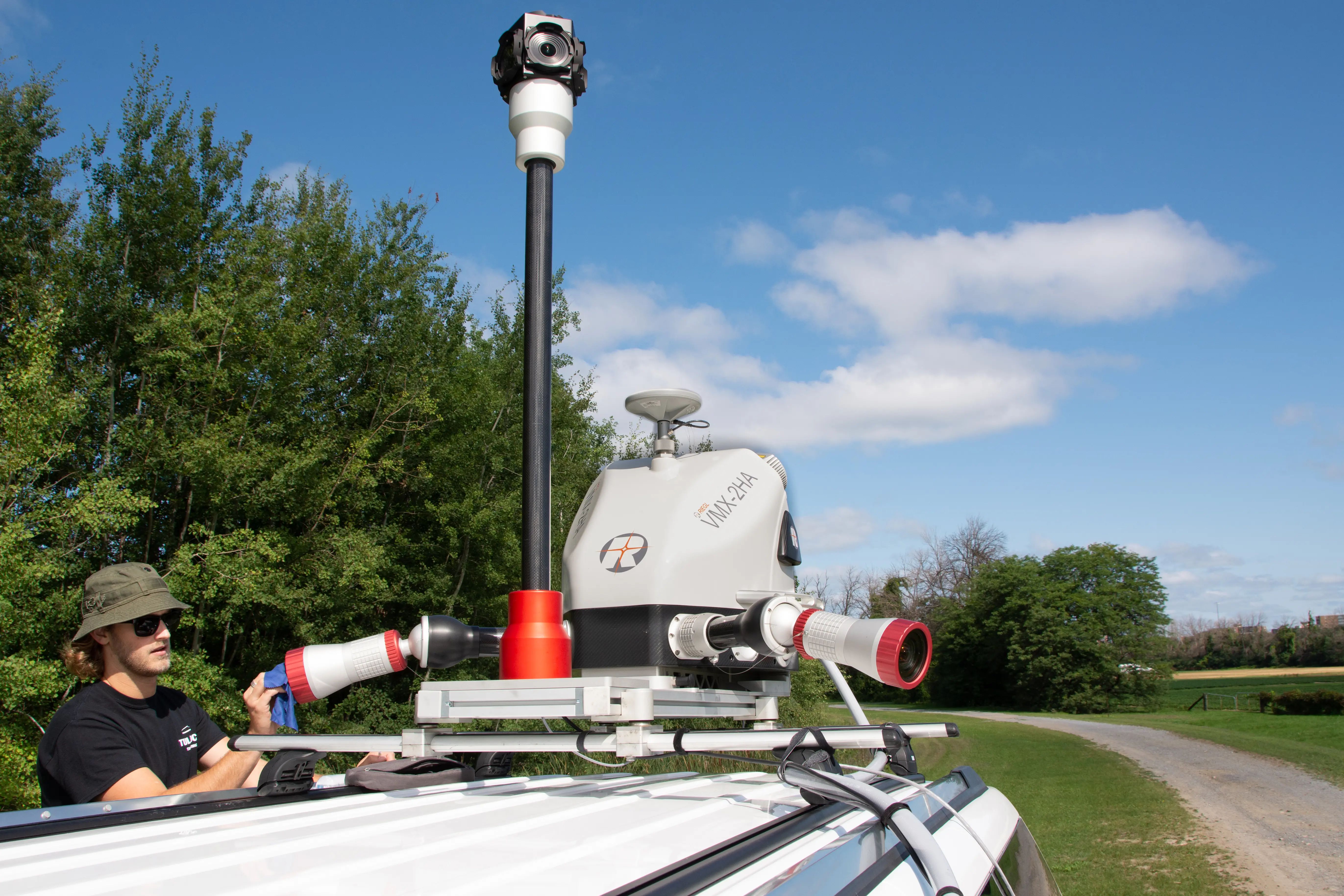
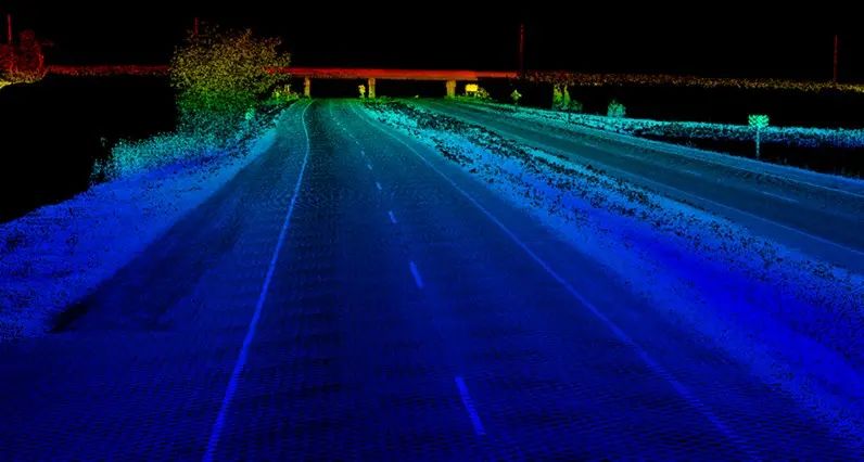
TULLOCH Mapping Ltd. was subcontracted to provide mobile LiDAR and imagery for approximately 17 miles of trunk Highway 23 in Minnesota, between Granite Falls and Cottonwood. The dataset was developed to support a stringless paving construction process and required high vertical accuracy.
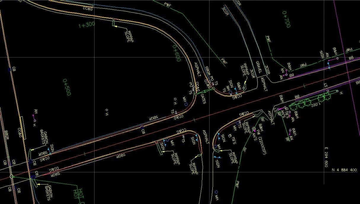
MnDOT required approximately 1 cm vertical accuracy at one sigma, so the project incorporated dense survey control, including laser-levelled control at 500 ft intervals and base stations approximately every five miles. Deliverables included terrain and breakline data, tiled LAS files, and georeferenced video.
Scope of Services
- Laser-levelled survey control at approximately 500 ft intervals with base stations every five miles
- Mobile LiDAR and imagery collection along approximately 17 miles of Highway 23
- LiDAR adjustment and control to meet required vertical accuracy
- TIN and breakline deliverables
- Tiled LAS files and georeferenced video