Highway 3 Widening and Twinning

Project Overview
Location: Talbotville to St. Thomas, ON
Client: Stantec
Services: Geomatics, Geomatics Engineering, Geospatial & LiDAR
Sector: Transportation
Project Description
The Highway 3 corridor between Talbotville and St. Thomas required widening and twinning to accommodate future transportation needs and improve corridor functionality.
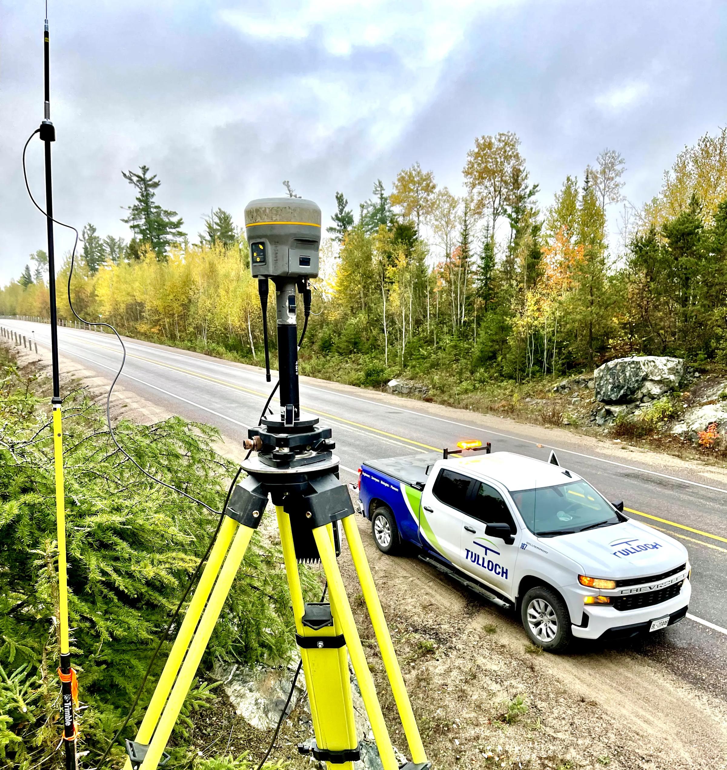
Stantec retained TULLOCH as Engineering Survey Lead to provide the spatial and terrain information required for preliminary and detailed design. The assignment combined conventional engineering surveys with aerial LiDAR, allowing the project team to collect required corridor information while reducing challenges associated with permission to enter private lands.
This project is featured in our overview of mobile LiDAR applications for highway surveys in Canada.
Scope of Services
- Control and engineering surveys for preliminary and detailed design
- Alignment calculations and staking
- Preparation of horizontal and vertical control sheets
- Collection of ground model data
- Aerial LiDAR to address permission-to-enter constraints
- AutoCAD Civil 3D drawings
- ETR plate preparation
Solutions in Action
Related Transportation Projects

Featured Projects
RER Tunnel
TULLOCH combined LiDAR, legal and engineering surveys, terrestrial scanning, and +/-2 mm movement monitoring for the Highway 401 RER tunnel project.


Discuss Your Highway Project
Planning a highway surveying project? Contact our Toronto team to discuss your site, technical requirements and next steps.