Forty Mile Wind

Project Overview
Location: Bow Island, AB
Client: RES Group
Services: Geomatics, Land Surveying, Geospatial & LiDAR, Geomatics Engineering
Sector: Energy
Project Description
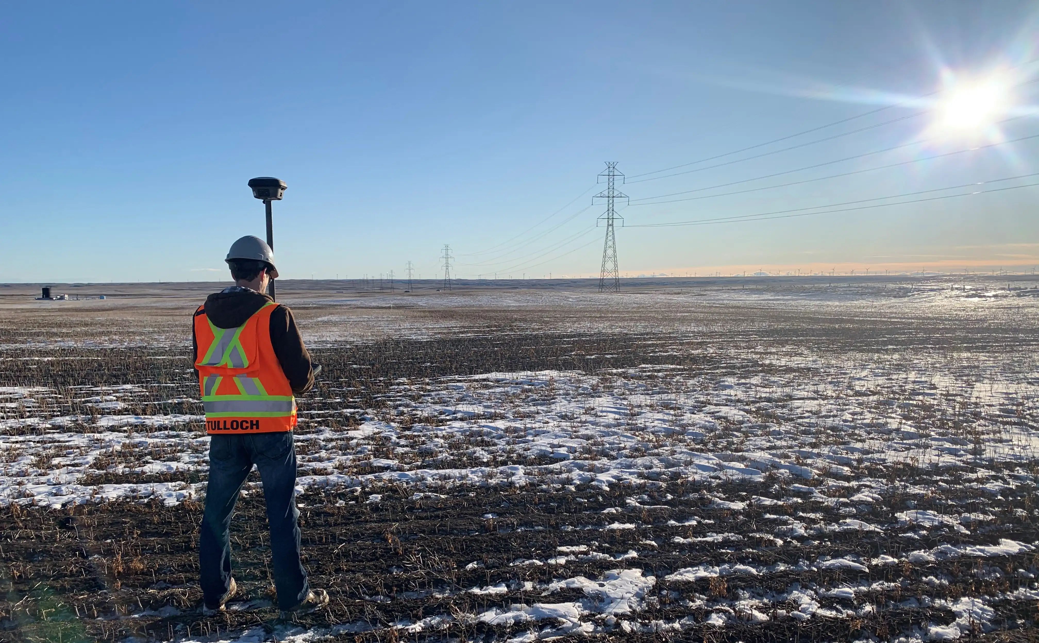
The Forty Mile Wind Energy Project is a 400 MW wind development near Bow Island, Alberta. TULLOCH provided geomatics and engineering services to establish reliable site information, define property and utility constraints, and support project design, land requirements, construction planning, and turbine component delivery.
Our work included control network establishment, LiDAR and aerial imagery, topographic mapping, legal boundary retracement, buried utility investigations, and preparation of engineering base plans, crossing exhibits, land conveyance drawings, and construction drawings.
TULLOCH also completed site and transportation route inspections to help identify access constraints and support the safe, efficient movement of wind turbine components and heavy equipment to the project site.
Scope of Services
- Site control network establishment
- LiDAR, aerial imagery, and topographic feature identification
- Legal boundary retracement and buried utility investigations
- Engineering base plan development
- Crossing exhibits
- Land conveyance drawings
- Construction drawings
- Site and transportation route inspections
- Route assessment for turbine component and equipment delivery